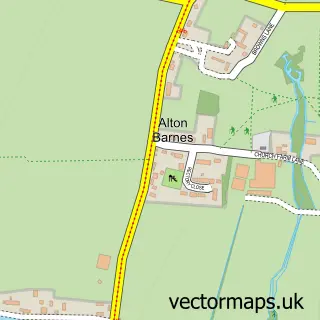
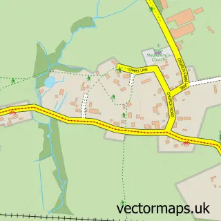
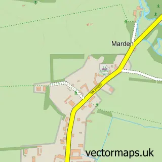
This Honeystreet street map is a detailed vector street map covering a 750m x 750m area. Select a larger area to create and download your own vector street map of Honeystreet.
The 750-metre map sample for Honeystreet covers 61 mapped buildings and approximately 2.7 km of road detail, of which 1 named road are named. The immediate area includes 1 pub. The wider area around Honeystreet features 2 tourism points of interest and 2 food and drink venues. To create a larger or custom map of Honeystreet, the map builder lets you define your own coverage area and download editable SVG, PDF and PNG files.
Create a larger editable map of Honeystreet
Choose any area you need and generate a high-quality vector map instantly. Perfect for print, planning, design, business and personal use.

This Honeystreet street map in Wiltshire is available as downloadable SVG, PDF and PNG map files, or as a printed map for planning, business, display, education, local information and design work. You can also create a larger custom map area using the map selector.
What this Honeystreet map sample shows
Honeystreet lies within Alton Cp parish, part of Pewsey Vale ward in the Wiltshire local authority area. The postcode geography for this area includes the SN postcode area, the SN8 postcode district and the SN8 4 postcode sector. Residents fall under the Nhs Bath And North East Somerset, Swindon And Wiltshire Integrated Care Board for NHS services.
Local features near Honeystreet
Within 2 milesAmenities and services in and around Honeystreet.
Administrative and postcode information for Honeystreet
The local authority covering Honeystreet is Wiltshire, within the county of Wiltshire. The settlement lies within Pewsey Vale ward and Alton Cp civil parish. The SN8 postcode district and SN8 4 postcode sector serve the immediate area. NHS provision in the area is delivered through Great Western Hospitals Nhs Foundation Trust.
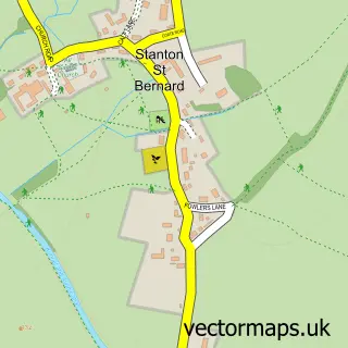
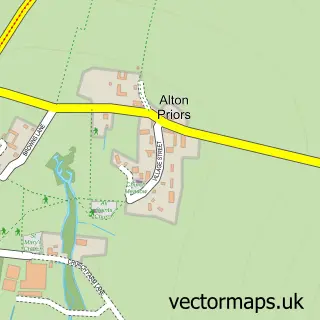
Nearby street map samples around Honeystreet

More street maps in Wiltshire
750 metre map area coverage
Boundary, postcode and point of interest information for the 750m x 750m rectangle centred on this sample map.
Boundaries containing map centre
Constituency: East Wiltshire Co Const
District: Wiltshire
Icb: NHS Bath and North East Somerset Swindon and Wiltshire ICB
Parish: Alton CP
Police Force: wiltshire
Postcode District: SN9
Postcode Sector: SN9 5
Nearby boundaries intersecting sample
Parish: Stanton St. Bernard CP
Postcode District: SN8
Postcode Sector: SN8 4
Postcode coverage
POI category counts
Boat Rental And Training: 2
Bed And Breakfast: 1
Beer Bar: 1
British Restaurant: 1
Building Supply Store: 1
Business Manufacturing And Supply: 1
Cafe: 1
Campground: 1
Chiropractor: 1
Flowers And Gifts Shop: 1
Sample points of interest
- Well cottage bed and breakfast
- The Barge Inn
- Honeystreet Boats
- Moonraker Canalboats
- Honeystreet Mill Cafe
- Barlow's Woodyard
- Honeystreet Logs
- Honeystreet Mill Cafe
- Camping at The Barge
- Ruth Lee
- The India Shop
- New Overseas Traders
Create a larger editable map of Honeystreet
This sample shows only a 750 metre area. To create a larger map of Honeystreet, use our map builder to choose your own coverage area, add titles and download editable SVG, PDF and PNG files.
Create a custom map of Honeystreet