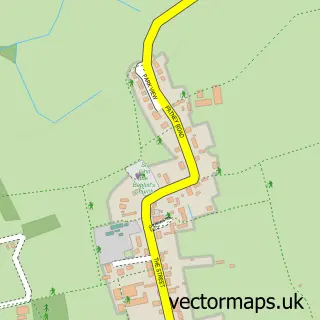
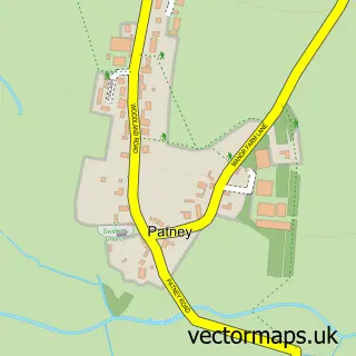
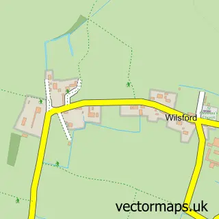
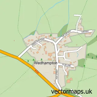
This Marden street map is a detailed vector street map covering a 750m x 750m area. Select a larger area to create and download your own vector street map of Marden.
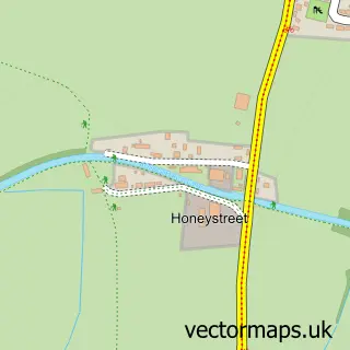
The 750-metre map sample for Marden covers 66 mapped buildings and approximately 2.7 km of road detail, of which 1 named road are named. The wider area around Marden features 1 tourism point of interest. To create a larger or custom map of Marden, the map builder lets you define your own coverage area and download editable SVG, PDF and PNG files.
Create a larger editable map of Marden
Choose any area you need and generate a high-quality vector map instantly. Perfect for print, planning, design, business and personal use.

This Marden street map in Wiltshire is available as downloadable SVG, PDF and PNG map files, or as a printed map for planning, business, display, education, local information and design work. You can also create a larger custom map area using the map selector.
What this Marden map sample shows
Marden lies within Marden Cp parish, part of Pewsey Vale ward in the Wiltshire local authority area. The postcode geography for this area includes the SN postcode area, the SN10 postcode district and the SN10 3 postcode sector. Residents fall under the Nhs Bath And North East Somerset, Swindon And Wiltshire Integrated Care Board for NHS services.
Local features near Marden
Within 2 milesAmenities and services in and around Marden.
Administrative and postcode information for Marden
Marden lies within Marden Cp parish, part of Pewsey Vale ward in the Wiltshire local authority area. The postcode geography for this area includes the SN postcode area, the SN10 postcode district and the SN10 3 postcode sector. Residents fall under the Nhs Bath And North East Somerset, Swindon And Wiltshire Integrated Care Board for NHS services.
Nearby street map samples around Marden

More street maps in Wiltshire
750 metre map area coverage
Boundary, postcode and point of interest information for the 750m x 750m rectangle centred on this sample map.
Boundaries containing map centre
Constituency: East Wiltshire Co Const
District: Wiltshire
Icb: NHS Bath and North East Somerset Swindon and Wiltshire ICB
Parish: Marden CP
Police Force: wiltshire
Postcode District: SN10
Postcode Sector: SN10 3
Nearby boundaries intersecting sample
No additional intersecting boundaries found.
Postcode coverage
POI category counts
Anglican Church: 1
Beer Garden: 1
British Restaurant: 1
Horse Boarding: 1
Landmark And Historical Building: 1
Professional Services: 1
Sample points of interest
- Marden: All Saints
- Millstream
- The Millstream, Marden, Nr Devizes
- Marden Grange Livery Stables
- Marden Manor
- Libby Clark Photography
Create a larger editable map of Marden
This sample shows only a 750 metre area. To create a larger map of Marden, use our map builder to choose your own coverage area, add titles and download editable SVG, PDF and PNG files.
Create a custom map of Marden