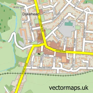
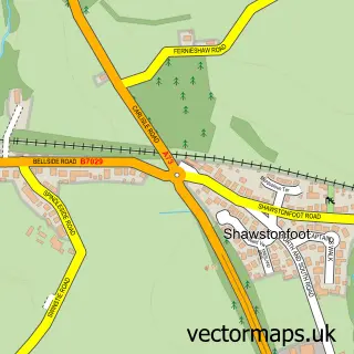
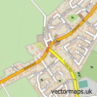
This Allanton street map is a detailed vector street map covering a 750m x 750m area. Select a larger area to create and download your own vector street map of Allanton.
The 750-metre map sample for Allanton covers 224 mapped buildings and approximately 11.1 km of road detail, of which 12 named roads are named. The immediate area includes 1 GP surgery within 2 miles and 1 MOT station, with 2 within 2 miles. The wider area around Allanton features 1 food and drink venue. To create a larger or custom map of Allanton, the map builder lets you define your own coverage area and download editable SVG, PDF and PNG files.
Create a larger editable map of Allanton
Choose any area you need and generate a high-quality vector map instantly. Perfect for print, planning, design, business and personal use.

This Allanton street map in Lanarkshire is available as downloadable SVG, PDF and PNG map files, or as a printed map for planning, business, display, education, local information and design work. You can also create a larger custom map area using the map selector.
What this Allanton map sample shows
Allanton lies within North Lanarkshire parish, part of Fortissat ward in the North Lanarkshire local authority area. The postcode geography for this area includes the ML postcode area, the ML7 postcode district and the ML7 5 postcode sector. Residents fall under the Lanarkshire for NHS services.
Local features near Allanton
Within 2 milesAmenities and services in and around Allanton.
Administrative and postcode information for Allanton
Allanton lies within North Lanarkshire parish, part of Fortissat ward in the North Lanarkshire local authority area. The postcode geography for this area includes the ML postcode area, the ML7 postcode district and the ML7 5 postcode sector. Residents fall under the Lanarkshire for NHS services.
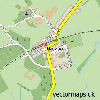
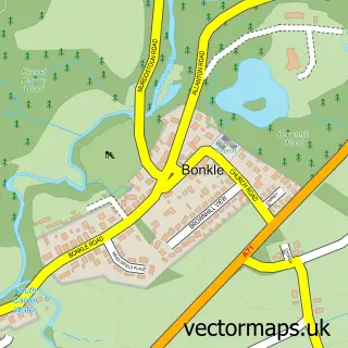
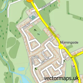
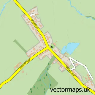
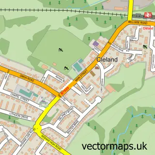
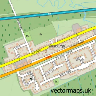
Nearby street map samples around Allanton

More street maps in Lanarkshire
750 metre map area coverage
Boundary, postcode and point of interest information for the 750m x 750m rectangle centred on this sample map.
Boundaries containing map centre
Constituency: Airdrie and Shotts Co Const
District: North Lanarkshire
Icb: Lanarkshire
Postcode District: ML7
Postcode Sector: ML7 5
Ward: Fortissat Ward
Nearby boundaries intersecting sample
No additional intersecting boundaries found.
Postcode coverage
POI category counts
Community Center: 2
Convenience Store: 2
Architectural Designer: 1
Books Mags Music And Video: 1
Bus Service: 1
Catholic Church: 1
Church Cathedral: 1
Food Delivery Service: 1
Landscaping: 1
Laundromat: 1
Sample points of interest
- Ace Designs
- Post Office-Allanton
- Blue Bus Ltd.
- Shotts Calderhead & Erskine
- Allanton Church & Community Cafe
- Allanton Community Centre
- Allanton Senior Citizens Centre
- Premier DB Retail @ Damside
- SPAR Allanton
- Evri ParcelShop
- Central Garden Makeovers Scotland
- Revolution Laundry
Create a larger editable map of Allanton
This sample shows only a 750 metre area. To create a larger map of Allanton, use our map builder to choose your own coverage area, add titles and download editable SVG, PDF and PNG files.
Create a custom map of Allanton