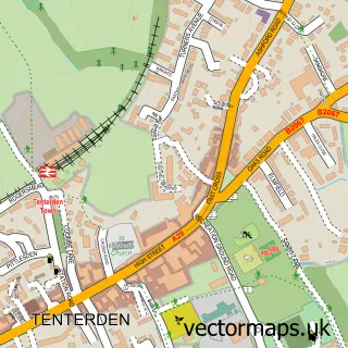
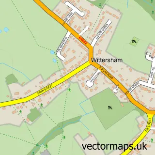
This Appledore street map is a detailed vector street map covering a 750m x 750m area. Select a larger area to create and download your own vector street map of Appledore.
The 750-metre map sample for Appledore covers 158 mapped buildings and approximately 13.6 km of road detail, of which 5 named roads are named. The immediate area includes 2 pubs and 1 MOT station within 2 miles. The wider area around Appledore features 2 food and drink venues and 1 hotel. To create a larger or custom map of Appledore, the map builder lets you define your own coverage area and download editable SVG, PDF and PNG files.
Create a larger editable map of Appledore
Choose any area you need and generate a high-quality vector map instantly. Perfect for print, planning, design, business and personal use.

This Appledore street map in Kent is available as downloadable SVG, PDF and PNG map files, or as a printed map for planning, business, display, education, local information and design work. You can also create a larger custom map area using the map selector.
What this Appledore map sample shows
Appledore lies within Appledore Cp parish, part of Isle Of Oxney ward in the Ashford District (B) local authority area. The postcode geography for this area includes the TN postcode area, the TN26 postcode district and the TN26 2 postcode sector. Residents fall under the Nhs Kent And Medway Integrated Care Board for NHS services.
Local features near Appledore
Within 2 milesAmenities and services in and around Appledore.
Administrative and postcode information for Appledore
The local authority covering Appledore is Ashford District (B), within the county of Kent. The settlement lies within Isle Of Oxney ward and Appledore Cp civil parish. The TN26 postcode district and TN26 2 postcode sector serve the immediate area. NHS provision in the area is delivered through East Kent Hospitals University Nhs Foundation Trust.
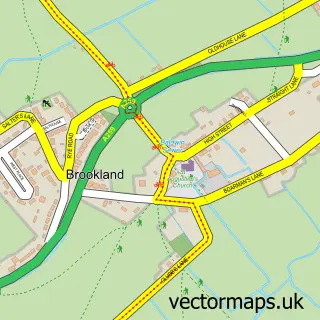
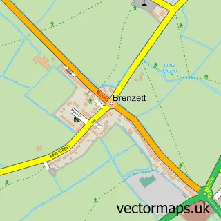
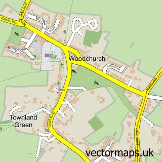
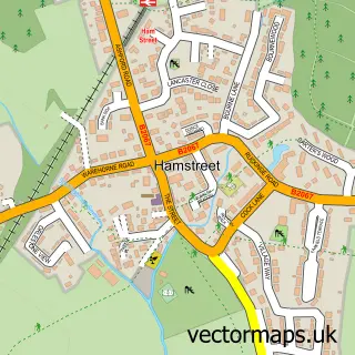
Nearby street map samples around Appledore

More street maps in Kent
750 metre map area coverage
Boundary, postcode and point of interest information for the 750m x 750m rectangle centred on this sample map.
Boundaries containing map centre
Constituency: Weald of Kent Co Const
County: Kent County
District: Ashford District (B)
Icb: NHS Kent and Medway ICB
Parish: Appledore CP
Police Force: kent
Postcode District: TN26
Postcode Sector: TN26 2
Ward: Isle of Oxney Ward
Nearby boundaries intersecting sample
No additional intersecting boundaries found.
Postcode coverage
POI category counts
Post Office: 3
Anglican Church: 2
Hair Salon: 2
Interior Design: 2
Pub: 2
Antique Store: 1
Assisted Living Facility: 1
Beauty Salon: 1
Business Management Services: 1
Community Center: 1
Sample points of interest
- St Peter & St Paul, Appledore
- St Peter and St Paul's Church
- The Forge
- Birch House
- Precision Aesthetics & Beauty Kent
- Executive Cars of Ashford
- Appledore Village Hall
- Johns multi market promotions
- The Old Forge Emporium
- Costcutter
- Blush Salon LTD
- Blush Salon Limited
Create a larger editable map of Appledore
This sample shows only a 750 metre area. To create a larger map of Appledore, use our map builder to choose your own coverage area, add titles and download editable SVG, PDF and PNG files.
Create a custom map of Appledore