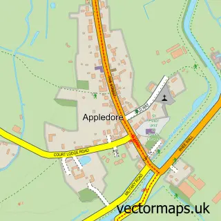
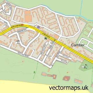
This Brookland street map is a detailed vector street map covering a 750m x 750m area. Select a larger area to create and download your own vector street map of Brookland.
The 750-metre map sample for Brookland covers 141 mapped buildings and approximately 22.1 km of road detail, of which 10 named roads are named. The immediate area includes 1 school and 1 MOT station within 2 miles. To create a larger or custom map of Brookland, the map builder lets you define your own coverage area and download editable SVG, PDF and PNG files.
Create a larger editable map of Brookland
Choose any area you need and generate a high-quality vector map instantly. Perfect for print, planning, design, business and personal use.

This Brookland street map in Kent is available as downloadable SVG, PDF and PNG map files, or as a printed map for planning, business, display, education, local information and design work. You can also create a larger custom map area using the map selector.
What this Brookland map sample shows
Brookland lies within Brookland Cp parish, part of Walland & Denge Marsh ward in the Folkestone And Hythe District local authority area. The postcode geography for this area includes the TN postcode area, the TN29 postcode district and the TN29 9 postcode sector. Residents fall under the Nhs Kent And Medway Integrated Care Board for NHS services.
Local features near Brookland
Within 2 milesAmenities and services in and around Brookland.
Administrative and postcode information for Brookland
The local authority covering Brookland is Folkestone And Hythe District, within the county of Kent. The settlement lies within Walland & Denge Marsh ward and Brookland Cp civil parish. The TN29 postcode district and TN29 9 postcode sector serve the immediate area. NHS provision in the area is delivered through East Kent Hospitals University Nhs Foundation Trust.
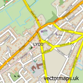
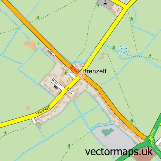
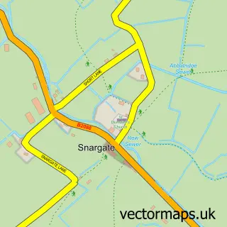
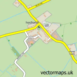
Nearby street map samples around Brookland

More street maps in Kent
750 metre map area coverage
Boundary, postcode and point of interest information for the 750m x 750m rectangle centred on this sample map.
Boundaries containing map centre
Constituency: Folkestone and Hythe Co Const
County: Kent County
District: Folkestone and Hythe District
Icb: NHS Kent and Medway ICB
Parish: Brookland CP
Police Force: kent
Postcode District: TN29
Postcode Sector: TN29 9
Ward: Walland & Denge Marsh Ward
Nearby boundaries intersecting sample
No additional intersecting boundaries found.
Postcode coverage
POI category counts
Anglican Church: 1
Bar: 1
British Restaurant: 1
Cabin: 1
Church Cathedral: 1
Doctor: 1
Electronics: 1
Elementary School: 1
Event Planning: 1
Photography Store And Services: 1
Sample points of interest
- St Augustine, BROOKLAND
- The Royal Oak
- The Laughing Frog Tea Rooms
- Puddock Farm Pine Lodges
- St Augustine's Church
- Brookland Branch Surgery
- E-Shopbrokers
- Brookland Church of England Primary School
- Brookland Village Hall and Field
- The Beach Studios And Locations
- The Nursery School Brookland
- Noa & Nani Ltd.
Create a larger editable map of Brookland
This sample shows only a 750 metre area. To create a larger map of Brookland, use our map builder to choose your own coverage area, add titles and download editable SVG, PDF and PNG files.
Create a custom map of Brookland