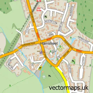
This Ivychurch street map is a detailed vector street map covering a 750m x 750m area. Select a larger area to create and download your own vector street map of Ivychurch.
The 750-metre map sample for Ivychurch covers 68 mapped buildings and approximately 20.0 km of road detail, of which 3 named roads are named. The immediate area includes 1 pub and 1 MOT station within 2 miles. The wider area around Ivychurch features 1 food and drink venue. To create a larger or custom map of Ivychurch, the map builder lets you define your own coverage area and download editable SVG, PDF and PNG files.
Create a larger editable map of Ivychurch
Choose any area you need and generate a high-quality vector map instantly. Perfect for print, planning, design, business and personal use.

This Ivychurch street map in Kent is available as downloadable SVG, PDF and PNG map files, or as a printed map for planning, business, display, education, local information and design work. You can also create a larger custom map area using the map selector.
What this Ivychurch map sample shows
Ivychurch lies within Ivychurch Cp parish, part of Walland & Denge Marsh ward in the Folkestone And Hythe District local authority area. The postcode geography for this area includes the TN postcode area, the TN29 postcode district and the TN29 0 postcode sector. Residents fall under the Nhs Kent And Medway Integrated Care Board for NHS services.
Local features near Ivychurch
Within 2 milesAmenities and services in and around Ivychurch.
Administrative and postcode information for Ivychurch
The local authority covering Ivychurch is Folkestone And Hythe District, within the county of Kent. The settlement lies within Walland & Denge Marsh ward and Ivychurch Cp civil parish. The TN29 postcode district and TN29 0 postcode sector serve the immediate area. NHS provision in the area is delivered through East Kent Hospitals University Nhs Foundation Trust.
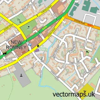
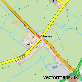
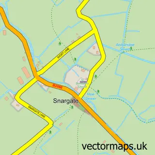
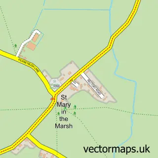
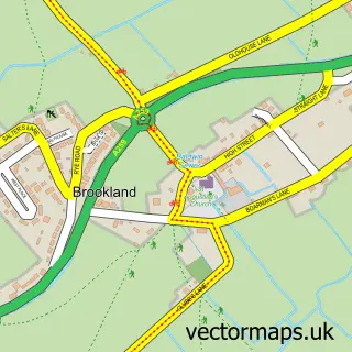
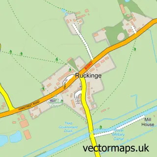
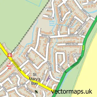
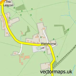
Nearby street map samples around Ivychurch

More street maps in Kent
750 metre map area coverage
Boundary, postcode and point of interest information for the 750m x 750m rectangle centred on this sample map.
Boundaries containing map centre
Constituency: Folkestone and Hythe Co Const
County: Kent County
District: Folkestone and Hythe District
Icb: NHS Kent and Medway ICB
Parish: Ivychurch CP
Police Force: kent
Postcode District: TN29
Postcode Sector: TN29 0
Ward: Walland & Denge Marsh Ward
Nearby boundaries intersecting sample
No additional intersecting boundaries found.
Postcode coverage
POI category counts
Agricultural Service: 2
Automotive Repair: 2
Agriculture: 1
Anglican Church: 1
Aquatic Pet Store: 1
Church Cathedral: 1
Farm Equipment And Supply: 1
Furniture Store: 1
Packing Supply: 1
Pub: 1
Sample points of interest
- Bell Agricultural Ltd
- Burden Bros Agri Ltd
- Tuckwells
- St George, IVYCHURCH
- J & G Tropical Imports
- Jaguar City
- Volks World
- St George Church
- Tuckwells
- Jane Harris Interiors
- Macro Packaging
- The Bell Inn Ivychurch
Create a larger editable map of Ivychurch
This sample shows only a 750 metre area. To create a larger map of Ivychurch, use our map builder to choose your own coverage area, add titles and download editable SVG, PDF and PNG files.
Create a custom map of Ivychurch