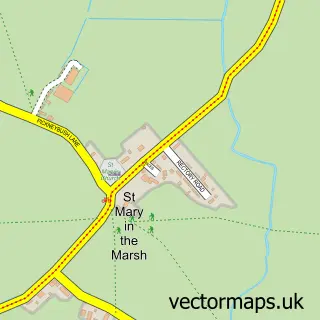
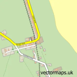
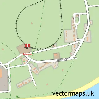
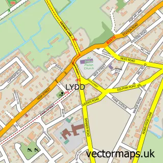
This New Romney street map is a detailed vector street map covering a 750m x 750m area. Select a larger area to create and download your own vector street map of New Romney.
The 750-metre map sample for New Romney covers 382 mapped buildings and approximately 17.5 km of road detail, of which 34 named roads are named. The immediate area includes 2 GP surgeries, 4 pubs and 3 MOT stations within 2 miles. The wider area around New Romney features 2 tourism points of interest, 9 food and drink venues and 2 campsites within 2 miles. To create a larger or custom map of New Romney, the map builder lets you define your own coverage area and download editable SVG, PDF and PNG files.
Create a larger editable map of New Romney
Choose any area you need and generate a high-quality vector map instantly. Perfect for print, planning, design, business and personal use.

This New Romney street map in Kent is available as downloadable SVG, PDF and PNG map files, or as a printed map for planning, business, display, education, local information and design work. You can also create a larger custom map area using the map selector.
What this New Romney map sample shows
New Romney lies within New Romney Cp parish, part of New Romney ward in the Folkestone And Hythe District local authority area. The postcode geography for this area includes the TN postcode area, the TN28 postcode district and the TN28 8 postcode sector. Residents fall under the Nhs Kent And Medway Integrated Care Board for NHS services.
Local features near New Romney
Within 2 milesAmenities and services in and around New Romney.
Administrative and postcode information for New Romney
The local authority covering New Romney is Folkestone And Hythe District, within the county of Kent. The settlement lies within New Romney ward and New Romney Cp civil parish. The TN28 postcode district and TN28 8 postcode sector serve the immediate area. NHS provision in the area is delivered through East Kent Hospitals University Nhs Foundation Trust.
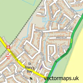
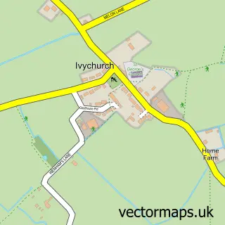
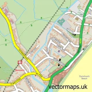
Nearby street map samples around New Romney

More street maps in Kent
750 metre map area coverage
Boundary, postcode and point of interest information for the 750m x 750m rectangle centred on this sample map.
Boundaries containing map centre
Constituency: Folkestone and Hythe Co Const
County: Kent County
District: Folkestone and Hythe District
Icb: NHS Kent and Medway ICB
Parish: New Romney CP
Police Force: kent
Postcode District: TN28
Postcode Sector: TN28 8
Ward: New Romney Ward
Nearby boundaries intersecting sample
No additional intersecting boundaries found.
Postcode coverage
POI category counts
Real Estate Agent: 7
Convenience Store: 4
Gas Station: 4
Jewelry Store: 4
Professional Services: 4
Pub: 4
Arts And Crafts: 3
Banks: 3
Barber: 3
Building Supply Store: 3
Sample points of interest
- Red Carrot
- London Ashford Airport
- St Nicholas, NEW ROMNEY
- Geering & Colyer
- Made On The Romney Marshes - New Romney
- Stitch 'N' Time Craft & Wool Shop
- Stitch-N in Time B H
- Springwood Court
- The Canterbury Oast Trust
- MFG - New Romney
- Roots Garden Solutions
- St Martins Field
Create a larger editable map of New Romney
This sample shows only a 750 metre area. To create a larger map of New Romney, use our map builder to choose your own coverage area, add titles and download editable SVG, PDF and PNG files.
Create a custom map of New Romney