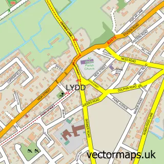
This Dungeness street map is a detailed vector street map covering a 750m x 750m area. Select a larger area to create and download your own vector street map of Dungeness.
The 750-metre map sample for Dungeness covers 55 mapped buildings and approximately 5.3 km of road detail, of which 1 named road are named. The immediate area includes 1 railway station and 2 pubs. The wider area around Dungeness features 3 tourism points of interest, 4 food and drink venues and 2 hotels. To create a larger or custom map of Dungeness, the map builder lets you define your own coverage area and download editable SVG, PDF and PNG files.
Create a larger editable map of Dungeness
Choose any area you need and generate a high-quality vector map instantly. Perfect for print, planning, design, business and personal use.

This Dungeness street map in Kent is available as downloadable SVG, PDF and PNG map files, or as a printed map for planning, business, display, education, local information and design work. You can also create a larger custom map area using the map selector.
What this Dungeness map sample shows
Dungeness lies within Lydd Cp parish, part of Walland & Denge Marsh ward in the Folkestone And Hythe District local authority area. The postcode geography for this area includes the TN postcode area, the TN29 postcode district and the TN29 9 postcode sector. Residents fall under the Nhs Kent And Medway Integrated Care Board for NHS services.
Local features near Dungeness
Within 2 milesAmenities and services in and around Dungeness.
Administrative and postcode information for Dungeness
Dungeness lies within Lydd Cp parish, part of Walland & Denge Marsh ward in the Folkestone And Hythe District local authority area. The postcode geography for this area includes the TN postcode area, the TN29 postcode district and the TN29 9 postcode sector. Residents fall under the Nhs Kent And Medway Integrated Care Board for NHS services.
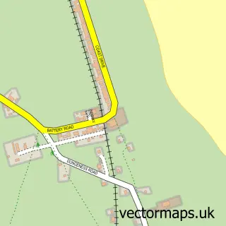
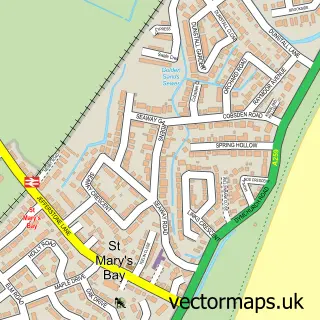
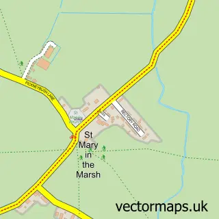
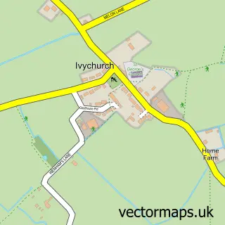
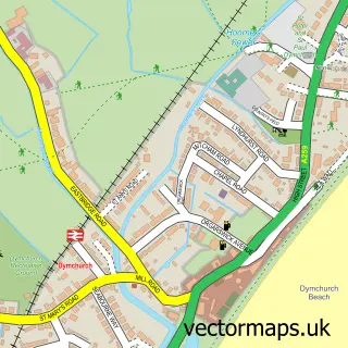
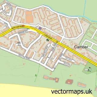
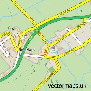
Nearby street map samples around Dungeness

More street maps in Kent
750 metre map area coverage
Boundary, postcode and point of interest information for the 750m x 750m rectangle centred on this sample map.
Boundaries containing map centre
Constituency: Folkestone and Hythe Co Const
County: Kent County
District: Folkestone and Hythe District
Icb: NHS Kent and Medway ICB
Parish: Lydd CP
Police Force: kent
Postcode District: TN29
Postcode Sector: TN29 9
Ward: Walland & Denge Marsh Ward
Nearby boundaries intersecting sample
No additional intersecting boundaries found.
Postcode coverage
POI category counts
Beach: 2
Hotel: 2
Landmark And Historical Building: 2
Lighthouse: 2
Pub: 2
Train Station: 2
Art Gallery: 1
Cafe: 1
Charity Organization: 1
Light Rail And Subway Stations: 1
Sample points of interest
- Dungeness Open Studios
- Dungeness Beach
- Dungeness Beach
- The Light Railway Cafe
- Royal National Lifeboat Institution
- Channel View, Dungeness Rd, Romney Marsh
- Helvetia
- Dungeness Old Lighthouse
- Dungeness Power Station
- Dungeness Station (RH&DR)
- Dungeness Old Lighthouse
- Phare de Dungeness (Old)
Create a larger editable map of Dungeness
This sample shows only a 750 metre area. To create a larger map of Dungeness, use our map builder to choose your own coverage area, add titles and download editable SVG, PDF and PNG files.
Create a custom map of Dungeness