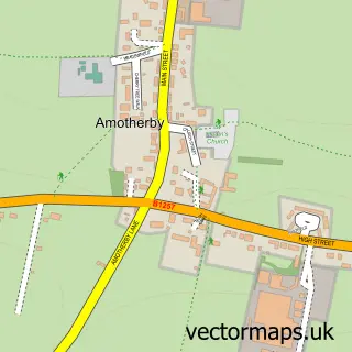
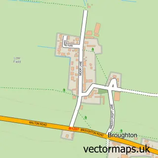
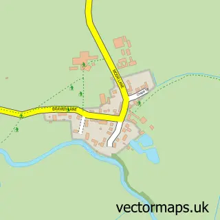
This Appleton le Street street map is a detailed vector street map covering a 750m x 750m area. Select a larger area to create and download your own vector street map of Appleton le Street.
The 750-metre map sample for Appleton le Street covers 83 mapped buildings and approximately 5.5 km of road detail, of which 2 named roads are named. The immediate area includes 1 pub. The wider area around Appleton le Street features 1 tourism point of interest and 1 food and drink venue. To create a larger or custom map of Appleton le Street, the map builder lets you define your own coverage area and download editable SVG, PDF and PNG files.
Create a larger editable map of Appleton le Street
Choose any area you need and generate a high-quality vector map instantly. Perfect for print, planning, design, business and personal use.

This Appleton le Street street map in North Yorkshire is available as downloadable SVG, PDF and PNG map files, or as a printed map for planning, business, display, education, local information and design work. You can also create a larger custom map area using the map selector.
What this Appleton le Street map sample shows
Appleton le Street lies within Appleton-Le-Street With Easthorpe Cp parish, part of Amotherby ward in the North Yorkshire local authority area. The postcode geography for this area includes the YO postcode area, the YO17 postcode district and the YO17 6 postcode sector. Residents fall under the Nhs Humber And North Yorkshire Integrated Care Board for NHS services.
Local features near Appleton le Street
Within 2 milesAmenities and services in and around Appleton le Street.
Administrative and postcode information for Appleton le Street
Appleton le Street lies within Appleton-Le-Street With Easthorpe Cp parish, part of Amotherby ward in the North Yorkshire local authority area. The postcode geography for this area includes the YO postcode area, the YO17 postcode district and the YO17 6 postcode sector. Residents fall under the Nhs Humber And North Yorkshire Integrated Care Board for NHS services.
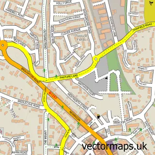
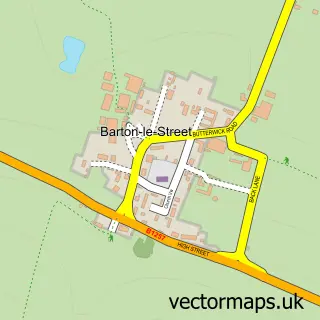
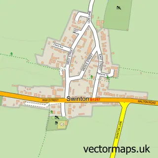
Nearby street map samples around Appleton le Street

More street maps in North Yorkshire
750 metre map area coverage
Boundary, postcode and point of interest information for the 750m x 750m rectangle centred on this sample map.
Boundaries containing map centre
Constituency: Thirsk and Malton Co Const
District: North Yorkshire
Icb: NHS Humber and North Yorkshire ICB
Parish: Appleton-le-Street with Easthorpe CP
Police Force: north yorkshire
Postcode District: YO17
Postcode Sector: YO17 6
Nearby boundaries intersecting sample
Parish: Amotherby CP
Postcode coverage
POI category counts
Anglican Church: 1
Building Supply Store: 1
Landmark And Historical Building: 1
Pub: 1
Screen Printing T Shirt Printing: 1
Sample points of interest
- Appleton: All Saints
- Baxter's Decorating Service
- Appleton-le-Street
- The Cresswell Arms
- Stand Out Branding
Create a larger editable map of Appleton le Street
This sample shows only a 750 metre area. To create a larger map of Appleton le Street, use our map builder to choose your own coverage area, add titles and download editable SVG, PDF and PNG files.
Create a custom map of Appleton le Street