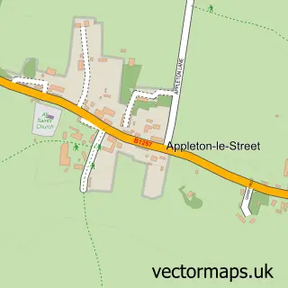
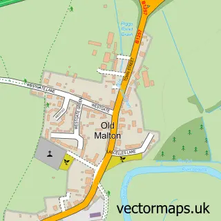
This Amotherby street map is a detailed vector street map covering a 750m x 750m area. Select a larger area to create and download your own vector street map of Amotherby.
The 750-metre map sample for Amotherby covers 139 mapped buildings and approximately 9.1 km of road detail, of which 8 named roads are named. The immediate area includes 1 school. To create a larger or custom map of Amotherby, the map builder lets you define your own coverage area and download editable SVG, PDF and PNG files.
Create a larger editable map of Amotherby
Choose any area you need and generate a high-quality vector map instantly. Perfect for print, planning, design, business and personal use.

This Amotherby street map in North Yorkshire is available as downloadable SVG, PDF and PNG map files, or as a printed map for planning, business, display, education, local information and design work. You can also create a larger custom map area using the map selector.
What this Amotherby map sample shows
Amotherby lies within Amotherby Cp parish, part of Amotherby ward in the North Yorkshire local authority area. The postcode geography for this area includes the YO postcode area, the YO17 postcode district and the YO17 6 postcode sector. Residents fall under the Nhs Humber And North Yorkshire Integrated Care Board for NHS services.
Local features near Amotherby
Within 2 milesAmenities and services in and around Amotherby.
Administrative and postcode information for Amotherby
The local authority covering Amotherby is North Yorkshire, within the county of North Yorkshire. The settlement lies within Amotherby ward and Amotherby Cp civil parish. The YO17 postcode district and YO17 6 postcode sector serve the immediate area. NHS provision in the area is delivered through York And Scarborough Teaching Hospitals Nhs Foundation Trust.
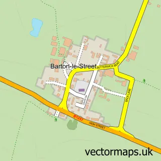
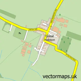
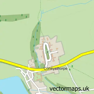
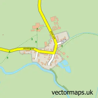
Nearby street map samples around Amotherby

More street maps in North Yorkshire
750 metre map area coverage
Boundary, postcode and point of interest information for the 750m x 750m rectangle centred on this sample map.
Boundaries containing map centre
Constituency: Thirsk and Malton Co Const
District: North Yorkshire
Icb: NHS Humber and North Yorkshire ICB
Parish: Amotherby CP
Police Force: north yorkshire
Postcode District: YO17
Postcode Sector: YO17 6
Nearby boundaries intersecting sample
No additional intersecting boundaries found.
Postcode coverage
POI category counts
Anglican Church: 1
Animal Shelter: 1
Bed And Breakfast: 1
Business: 1
Elementary School: 1
Holiday Rental Home: 1
Land Surveying: 1
Media Agency: 1
Post Office: 1
Professional Services: 1
Sample points of interest
- Amotherby: St Helen
- Amotherby Cat and Kitten Rescue
- Cherry Tree B & B
- Zetechtics Ltd
- Amotherby Community Primary School
- Old Station Farm
- Ryedale Land Surveys
- Truckingjobs.co.uk Ltd
- Weaverthorpe Post Office
- GH Safety Services
- Old Vicarage
Create a larger editable map of Amotherby
This sample shows only a 750 metre area. To create a larger map of Amotherby, use our map builder to choose your own coverage area, add titles and download editable SVG, PDF and PNG files.
Create a custom map of Amotherby