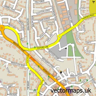
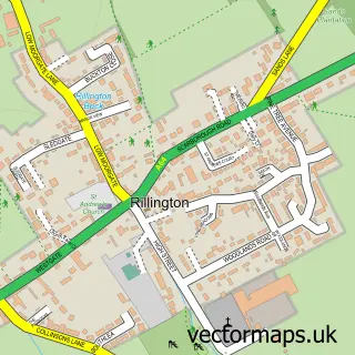
This Old Malton street map is a detailed vector street map covering a 750m x 750m area. Select a larger area to create and download your own vector street map of Old Malton.
The 750-metre map sample for Old Malton covers 154 mapped buildings and approximately 6.0 km of road detail, of which 5 named roads are named. The immediate area includes 1 GP surgery within 2 miles, 2 pubs and 7 MOT stations within 2 miles. The wider area around Old Malton features 2 food and drink venues, 1 hotel and 1 campsite within 2 miles. To create a larger or custom map of Old Malton, the map builder lets you define your own coverage area and download editable SVG, PDF and PNG files.
Create a larger editable map of Old Malton
Choose any area you need and generate a high-quality vector map instantly. Perfect for print, planning, design, business and personal use.

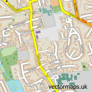
This Old Malton street map in North Yorkshire is available as downloadable SVG, PDF and PNG map files, or as a printed map for planning, business, display, education, local information and design work. You can also create a larger custom map area using the map selector.
What this Old Malton map sample shows
Old Malton lies within Malton Cp parish, part of Malton ward in the North Yorkshire local authority area. The postcode geography for this area includes the YO postcode area, the YO17 postcode district and the YO17 7 postcode sector. Residents fall under the Nhs Humber And North Yorkshire Integrated Care Board for NHS services.
Local features near Old Malton
Within 2 milesAmenities and services in and around Old Malton.
Administrative and postcode information for Old Malton
Old Malton lies within Malton Cp parish, part of Malton ward in the North Yorkshire local authority area. The postcode geography for this area includes the YO postcode area, the YO17 postcode district and the YO17 7 postcode sector. Residents fall under the Nhs Humber And North Yorkshire Integrated Care Board for NHS services.
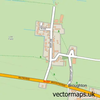
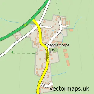
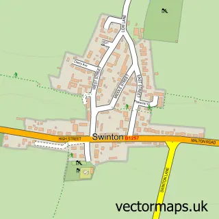
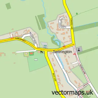
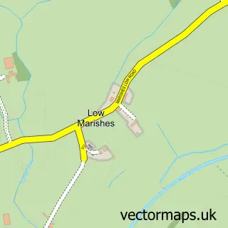
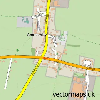
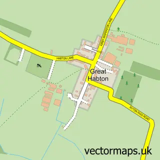
Nearby street map samples around Old Malton

More street maps in North Yorkshire
750 metre map area coverage
Boundary, postcode and point of interest information for the 750m x 750m rectangle centred on this sample map.
Boundaries containing map centre
Constituency: Thirsk and Malton Co Const
District: North Yorkshire
Icb: NHS Humber and North Yorkshire ICB
Parish: Malton CP
Police Force: north yorkshire
Postcode District: YO17
Postcode Sector: YO17 7
Nearby boundaries intersecting sample
Parish: Norton-on-Derwent CP
Postcode Sector: YO17 6
Postcode coverage
POI category counts
Professional Services: 3
Church Cathedral: 2
Pub: 2
Anglican Church: 1
Assisted Living Facility: 1
Bar: 1
Engineering Services: 1
Holiday Rental Home: 1
Hotel: 1
Inn: 1
Sample points of interest
- St Mary's Priory Church
- Santander
- Old Malton Yorkshire
- St Mary's Priory Church
- York Vineyard Church
- Ryedale Testing
- Margaret's Cottage
- Doodale Cottage
- The Wentworth Arms
- The Abbey Residential Home
- Camphill Village Trust
- North Yorkshire Music Therapy Centre
Create a larger editable map of Old Malton
This sample shows only a 750 metre area. To create a larger map of Old Malton, use our map builder to choose your own coverage area, add titles and download editable SVG, PDF and PNG files.
Create a custom map of Old Malton