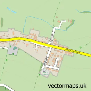
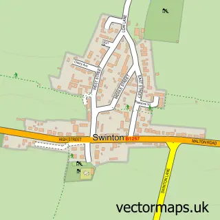
This Coneysthorpe street map is a detailed vector street map covering a 750m x 750m area. Select a larger area to create and download your own vector street map of Coneysthorpe.
The 750-metre map sample for Coneysthorpe covers 50 mapped buildings and approximately 5.5 km of road detail. The wider area around Coneysthorpe features 1 tourism point of interest and 1 campsite within 2 miles. To create a larger or custom map of Coneysthorpe, the map builder lets you define your own coverage area and download editable SVG, PDF and PNG files.
Create a larger editable map of Coneysthorpe
Choose any area you need and generate a high-quality vector map instantly. Perfect for print, planning, design, business and personal use.

This Coneysthorpe street map in North Yorkshire is available as downloadable SVG, PDF and PNG map files, or as a printed map for planning, business, display, education, local information and design work. You can also create a larger custom map area using the map selector.
What this Coneysthorpe map sample shows
Coneysthorpe lies within Coneysthorpe Cp parish, part of Derwent ward in the North Yorkshire local authority area. The postcode geography for this area includes the YO postcode area, the YO60 postcode district and the YO60 7 postcode sector. Residents fall under the Nhs Humber And North Yorkshire Integrated Care Board for NHS services.
Local features near Coneysthorpe
Within 2 milesAmenities and services in and around Coneysthorpe.
Administrative and postcode information for Coneysthorpe
Coneysthorpe lies within Coneysthorpe Cp parish, part of Derwent ward in the North Yorkshire local authority area. The postcode geography for this area includes the YO postcode area, the YO60 postcode district and the YO60 7 postcode sector. Residents fall under the Nhs Humber And North Yorkshire Integrated Care Board for NHS services.
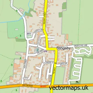
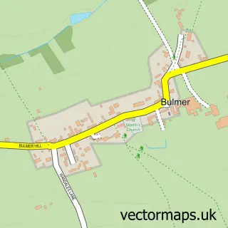
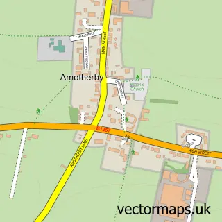
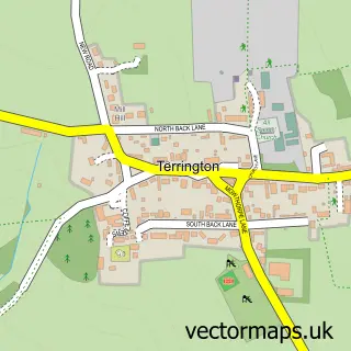
Nearby street map samples around Coneysthorpe

More street maps in North Yorkshire
750 metre map area coverage
Boundary, postcode and point of interest information for the 750m x 750m rectangle centred on this sample map.
Boundaries containing map centre
Constituency: Thirsk and Malton Co Const
District: North Yorkshire
Icb: NHS Humber and North Yorkshire ICB
Parish: Coneysthorpe CP
Police Force: north yorkshire
Postcode District: YO60
Postcode Sector: YO60 7
Nearby boundaries intersecting sample
Parish: Henderskelfe CP
Postcode coverage
POI category counts
Bed And Breakfast: 1
Campground: 1
Church Cathedral: 1
Community Center: 1
Cottage: 1
Sample points of interest
- Lime Kiln House Luxury Bed And Breakfast
- Castle Howard Lakeside Holiday Park
- Coneysthorpe Chapel
- Coneysthorpe Village Hall
- Castle Howard Holiday Cottages
Create a larger editable map of Coneysthorpe
This sample shows only a 750 metre area. To create a larger map of Coneysthorpe, use our map builder to choose your own coverage area, add titles and download editable SVG, PDF and PNG files.
Create a custom map of Coneysthorpe