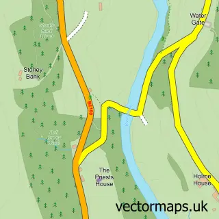
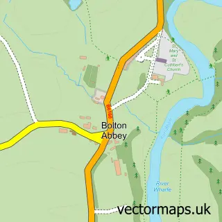
This Appletreewick street map is a detailed vector street map covering a 750m x 750m area. Select a larger area to create and download your own vector street map of Appletreewick.
The 750-metre map sample for Appletreewick covers 46 mapped buildings and approximately 3.6 km of road detail. The immediate area includes 3 pubs. The wider area around Appletreewick features 1 tourism point of interest, 3 food and drink venues and 1 hotel. To create a larger or custom map of Appletreewick, the map builder lets you define your own coverage area and download editable SVG, PDF and PNG files.
Create a larger editable map of Appletreewick
Choose any area you need and generate a high-quality vector map instantly. Perfect for print, planning, design, business and personal use.

This Appletreewick street map in North Yorkshire is available as downloadable SVG, PDF and PNG map files, or as a printed map for planning, business, display, education, local information and design work. You can also create a larger custom map area using the map selector.
What this Appletreewick map sample shows
Appletreewick lies within Appletreewick Cp parish, part of Barden Fell ward in the North Yorkshire local authority area. The postcode geography for this area includes the BD postcode area, the BD23 postcode district and the BD23 6 postcode sector. Residents fall under the Nhs West Yorkshire Integrated Care Board for NHS services.
Local features near Appletreewick
Within 2 milesAmenities and services in and around Appletreewick.
Administrative and postcode information for Appletreewick
Appletreewick lies within Appletreewick Cp parish, part of Barden Fell ward in the North Yorkshire local authority area. The postcode geography for this area includes the BD postcode area, the BD23 postcode district and the BD23 6 postcode sector. Residents fall under the Nhs West Yorkshire Integrated Care Board for NHS services.
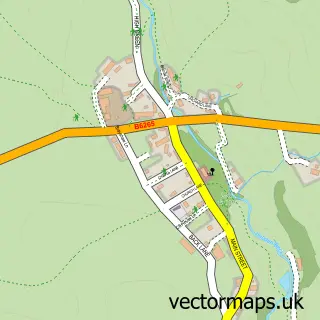
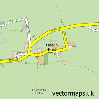
Nearby street map samples around Appletreewick

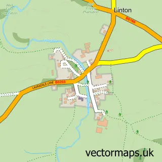
More street maps in North Yorkshire
750 metre map area coverage
Boundary, postcode and point of interest information for the 750m x 750m rectangle centred on this sample map.
Boundaries containing map centre
Constituency: Skipton and Ripon Co Const
District: North Yorkshire
Icb: NHS West Yorkshire ICB
Parish: Appletreewick CP
Police Force: north yorkshire
Postcode District: BD23
Postcode Sector: BD23 6
Nearby boundaries intersecting sample
Parish: Barden CP
Postcode coverage
POI category counts
Pub: 3
Bus Station: 2
Advertising Agency: 1
Anglican Church: 1
Bed And Breakfast: 1
Cabin: 1
Cottage: 1
Ev Charging Station: 1
Fabric Store: 1
Hotel: 1
Sample points of interest
- Manifest Marketing
- Appletreewick: St John the Baptist
- Appletreewick Cottages
- Craven Arms & Cruck Barn
- The Craven Arms Appletreewick
- Craven Shepherd Huts
- Fellside Cottage
- Appletreewick - The New Inn
- Jeremy Hibbert & Co
- Craven Shepherds Huts
- High Hall, Appletreewick
- Craven Arms
Create a larger editable map of Appletreewick
This sample shows only a 750 metre area. To create a larger map of Appletreewick, use our map builder to choose your own coverage area, add titles and download editable SVG, PDF and PNG files.
Create a custom map of Appletreewick