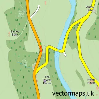
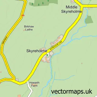
This Bolton Abbey street map is a detailed vector street map covering a 750m x 750m area. Select a larger area to create and download your own vector street map of Bolton Abbey.
The 750-metre map sample for Bolton Abbey covers 30 mapped buildings and approximately 6.6 km of road detail. The immediate area includes 1 MOT station within 2 miles. The wider area around Bolton Abbey features 4 tourism points of interest, 1 food and drink venue and 2 campsites within 2 miles. To create a larger or custom map of Bolton Abbey, the map builder lets you define your own coverage area and download editable SVG, PDF and PNG files.
Create a larger editable map of Bolton Abbey
Choose any area you need and generate a high-quality vector map instantly. Perfect for print, planning, design, business and personal use.

This Bolton Abbey street map in North Yorkshire is available as downloadable SVG, PDF and PNG map files, or as a printed map for planning, business, display, education, local information and design work. You can also create a larger custom map area using the map selector.
What this Bolton Abbey map sample shows
Bolton Abbey lies within Bolton Abbey Cp parish, part of Barden Fell ward in the North Yorkshire local authority area. The postcode geography for this area includes the BD postcode area, the BD23 postcode district and the BD23 6 postcode sector. Residents fall under the Nhs West Yorkshire Integrated Care Board for NHS services.
Local features near Bolton Abbey
Within 2 milesAmenities and services in and around Bolton Abbey.
Administrative and postcode information for Bolton Abbey
Bolton Abbey lies within Bolton Abbey Cp parish, part of Barden Fell ward in the North Yorkshire local authority area. The postcode geography for this area includes the BD postcode area, the BD23 postcode district and the BD23 6 postcode sector. Residents fall under the Nhs West Yorkshire Integrated Care Board for NHS services.
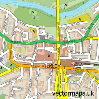
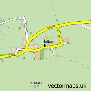
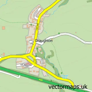
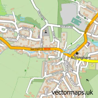
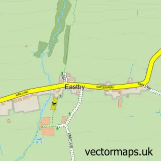
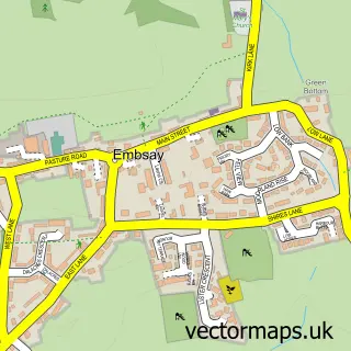
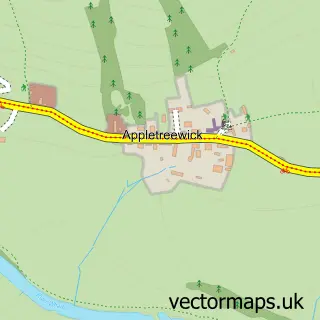
Nearby street map samples around Bolton Abbey

More street maps in North Yorkshire
750 metre map area coverage
Boundary, postcode and point of interest information for the 750m x 750m rectangle centred on this sample map.
Boundaries containing map centre
Constituency: Skipton and Ripon Co Const
District: North Yorkshire
Icb: NHS West Yorkshire ICB
Parish: Bolton Abbey CP
Police Force: north yorkshire
Postcode District: BD23
Postcode Sector: BD23 6
Nearby boundaries intersecting sample
Parish: Beamsley CP, Hazlewood with Storiths CP
Postcode coverage
POI category counts
Landmark And Historical Building: 2
Park: 2
Shipping Center: 2
Tea Room: 2
Anglican Church: 1
Bookstore: 1
Church Cathedral: 1
Coffee Shop: 1
Community Center: 1
Convents And Monasteries: 1
Sample points of interest
- The Priory Church of St Mary & St Cuthbert
- Grove Rare Books
- Bolton Abbey Priory Church
- Bolton Abbey Tea Cottage
- Bolton Abbey Village Hall
- River Wharfe, Bolton Abbey
- The Tithe Barn
- Bolton Abbey
- Bolton Abbey Estate
- Welly Walk
- Yorkshire Dales National Park
- Post Office
Create a larger editable map of Bolton Abbey
This sample shows only a 750 metre area. To create a larger map of Bolton Abbey, use our map builder to choose your own coverage area, add titles and download editable SVG, PDF and PNG files.
Create a custom map of Bolton Abbey