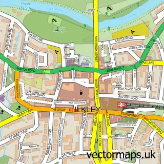
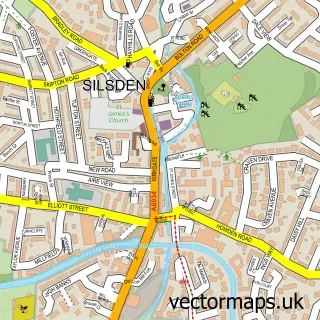
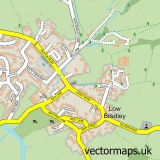
This Addingham street map is a detailed vector street map covering a 750m x 750m area. Select a larger area to create and download your own vector street map of Addingham.
The 750-metre map sample for Addingham covers 298 mapped buildings and approximately 15.6 km of road detail, of which 34 named roads are named. The immediate area includes 1 school, 1 GP surgery, 3 pubs and 1 MOT station. The wider area around Addingham features 2 tourism points of interest and 4 food and drink venues. To create a larger or custom map of Addingham, the map builder lets you define your own coverage area and download editable SVG, PDF and PNG files.
Create a larger editable map of Addingham
Choose any area you need and generate a high-quality vector map instantly. Perfect for print, planning, design, business and personal use.

This Addingham street map in West Yorkshire is available as downloadable SVG, PDF and PNG map files, or as a printed map for planning, business, display, education, local information and design work. You can also create a larger custom map area using the map selector.
What this Addingham map sample shows
Addingham lies within Addingham Cp parish, part of Craven ward in the Bradford District (B) local authority area. The postcode geography for this area includes the LS postcode area, the LS29 postcode district and the LS29 0 postcode sector. Residents fall under the Nhs West Yorkshire Integrated Care Board for NHS services.
Local features near Addingham
Within 2 milesAmenities and services in and around Addingham.
Administrative and postcode information for Addingham
The local authority covering Addingham is Bradford District (B), within the county of West Yorkshire. The settlement lies within Craven ward and Addingham Cp civil parish. The LS29 postcode district and LS29 0 postcode sector serve the immediate area. NHS provision in the area is delivered through Airedale Nhs Foundation Trust.
Nearby street map samples around Addingham

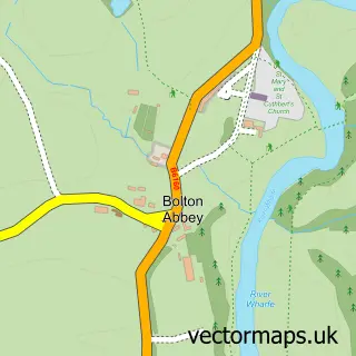
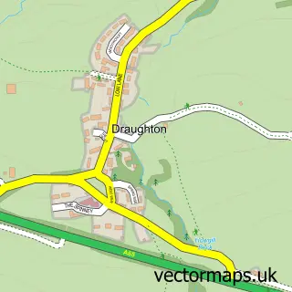
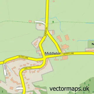
More street maps in West Yorkshire

750 metre map area coverage
Boundary, postcode and point of interest information for the 750m x 750m rectangle centred on this sample map.
Boundaries containing map centre
Constituency: Keighley and Ilkley Co Const
District: Bradford District (B)
Icb: NHS West Yorkshire ICB
Parish: Addingham CP
Police Force: west yorkshire
Postcode District: LS29
Postcode Sector: LS29 0
Ward: Craven Ward
Nearby boundaries intersecting sample
No additional intersecting boundaries found.
Postcode coverage
POI category counts
Beauty Salon: 5
Podiatrist: 3
Pub: 3
Dentist: 2
Hair Salon: 2
Holiday Rental Home: 2
Physical Therapy: 2
Professional Services: 2
Scout Hall: 2
Shipping Center: 2
Sample points of interest
- Andrew Green M O T & Service Centre
- Claire Wareham Hair Extension Training Academy
- Claire Wareham Hair Specialists
- Cutting Line Addingham
- Indulgence Beauty
- Tiempo
- TP Books
- Gilbersons Bar & Restaurant
- Design by Jo Bee
- Steels Coaches of Addingham
- GFS Catering
- Friends of Addingham Primary School - FAPS
Create a larger editable map of Addingham
This sample shows only a 750 metre area. To create a larger map of Addingham, use our map builder to choose your own coverage area, add titles and download editable SVG, PDF and PNG files.
Create a custom map of Addingham