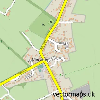
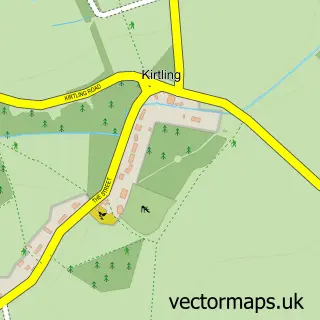
This Ashley street map is a detailed vector street map covering a 750m x 750m area. Select a larger area to create and download your own vector street map of Ashley.
The 750-metre map sample for Ashley covers 188 mapped buildings and approximately 9.9 km of road detail, of which 8 named roads are named. The immediate area includes 1 pub. The wider area around Ashley features 1 tourism point of interest and 1 food and drink venue. To create a larger or custom map of Ashley, the map builder lets you define your own coverage area and download editable SVG, PDF and PNG files.
Create a larger editable map of Ashley
Choose any area you need and generate a high-quality vector map instantly. Perfect for print, planning, design, business and personal use.

This Ashley street map in Cambridgeshire is available as downloadable SVG, PDF and PNG map files, or as a printed map for planning, business, display, education, local information and design work. You can also create a larger custom map area using the map selector.
What this Ashley map sample shows
Ashley lies within Ashley Cp parish, part of Woodditton ward in the East Cambridgeshire District local authority area. The postcode geography for this area includes the CB postcode area, the CB8 postcode district and the CB8 9 postcode sector. Residents fall under the Nhs Cambridgeshire And Peterborough Integrated Care Board for NHS services.
Local features near Ashley
Within 2 milesAmenities and services in and around Ashley.
Administrative and postcode information for Ashley
The local authority covering Ashley is East Cambridgeshire District, within the county of Cambridgeshire. The settlement lies within Woodditton ward and Ashley Cp civil parish. The CB8 postcode district and CB8 9 postcode sector serve the immediate area. NHS provision in the area is delivered through West Suffolk Nhs Foundation Trust.
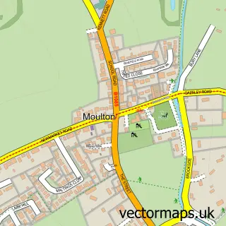
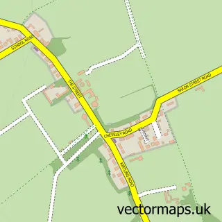
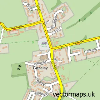
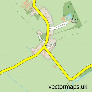
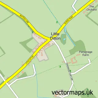
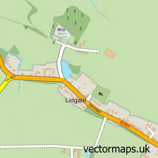
Nearby street map samples around Ashley


More street maps in Cambridgeshire
750 metre map area coverage
Boundary, postcode and point of interest information for the 750m x 750m rectangle centred on this sample map.
Boundaries containing map centre
Constituency: Ely and East Cambridgeshire Co Const
County: Cambridgeshire County
District: East Cambridgeshire District
Icb: NHS Central East ICB
Parish: Ashley CP
Police Force: cambridgeshire
Postcode District: CB8
Postcode Sector: CB8 9
Ward: Woodditton Ward
Nearby boundaries intersecting sample
Postcode Sector: CB8 8
Postcode coverage
POI category counts
Anglican Church: 1
Bed And Breakfast: 1
Convenience Store: 1
Dog Walkers: 1
Gardener: 1
Landmark And Historical Building: 1
Pet Groomer: 1
Pub: 1
Recreational Vehicle Dealer: 1
Retail: 1
Sample points of interest
- Ashley, St Mary
- Bloodstock Barn
- Ashley Stores
- The Dog House Daycare
- Newell Landscapes
- Ashley, Cambridgeshire
- Hot Dogs Grooming of Ashley
- The Old Plough
- Newmarket Campers
- J T Response
Create a larger editable map of Ashley
This sample shows only a 750 metre area. To create a larger map of Ashley, use our map builder to choose your own coverage area, add titles and download editable SVG, PDF and PNG files.
Create a custom map of Ashley