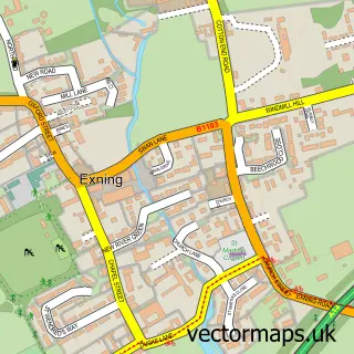
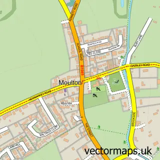
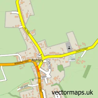
This Newmarket street map is a detailed vector street map covering a 750m x 750m area. Select a larger area to create and download your own vector street map of Newmarket.
The 750-metre map sample for Newmarket covers 307 mapped buildings and approximately 19.9 km of road detail, of which 45 named roads are named. The immediate area includes 1 school, 2 GP surgeries, with 3 within 2 miles, 16 pubs and 2 MOT stations, with 7 within 2 miles. The wider area around Newmarket features 7 tourism points of interest, 42 food and drink venues and 8 hotels. To create a larger or custom map of Newmarket, the map builder lets you define your own coverage area and download editable SVG, PDF and PNG files.
Create a larger editable map of Newmarket
Choose any area you need and generate a high-quality vector map instantly. Perfect for print, planning, design, business and personal use.

This Newmarket street map in Suffolk is available as downloadable SVG, PDF and PNG map files, or as a printed map for planning, business, display, education, local information and design work. You can also create a larger custom map area using the map selector.
What this Newmarket map sample shows
Newmarket lies within Newmarket Cp parish, part of Newmarket West ward in the West Suffolk District local authority area. The postcode geography for this area includes the CB postcode area, the CB8 postcode district and the CB8 9 postcode sector. Residents fall under the Nhs Suffolk And North East Essex Integrated Care Board for NHS services.
Local features near Newmarket
Within 2 milesAmenities and services in and around Newmarket.
Administrative and postcode information for Newmarket
The local authority covering Newmarket is West Suffolk District, within the county of Suffolk. The settlement lies within Newmarket West ward and Newmarket Cp civil parish. The CB8 postcode district and CB8 9 postcode sector serve the immediate area. NHS provision in the area is delivered through West Suffolk Nhs Foundation Trust.
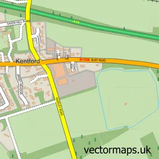
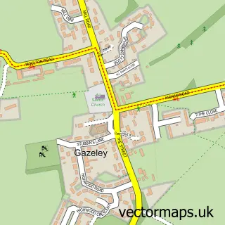
Nearby street map samples around Newmarket

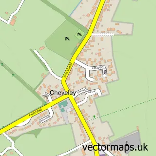
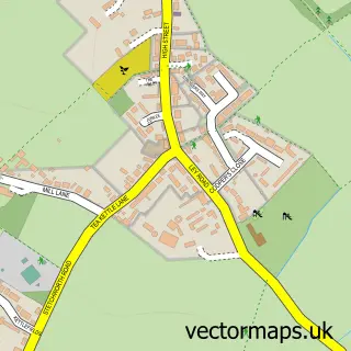
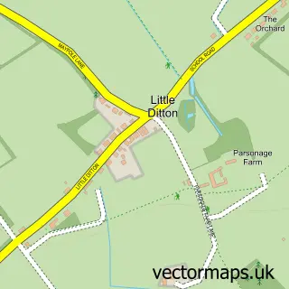
More street maps in Suffolk

750 metre map area coverage
Boundary, postcode and point of interest information for the 750m x 750m rectangle centred on this sample map.
Boundaries containing map centre
Constituency: West Suffolk Co Const
County: Suffolk County
District: West Suffolk District
Icb: NHS Essex ICB
Parish: Newmarket CP
Police Force: suffolk
Postcode District: CB8
Postcode Sector: CB8 8
Ward: Newmarket East Ward
Nearby boundaries intersecting sample
Postcode Sector: CB8 0, CB8 7, CB8 9
Ward: Newmarket West Ward
Postcode coverage
POI category counts
Beauty Salon: 20
Hair Salon: 20
Pub: 16
Barber: 12
Cafe: 12
Real Estate Agent: 12
Clothing Store: 9
Discount Store: 9
Beauty And Spa: 8
Fast Food Restaurant: 8
Sample points of interest
- Sandhurst Bed & Breakfast Newmarket
- Turner Hall
- Mint Accounting
- Moore & Co
- Price Bailey
- Streets
- Xtax Accountancy Services
- inn house associates
- The Severals
- Newmarket Acupuncture
- Rosemary Fitzgerald
- Realise Futures
Create a larger editable map of Newmarket
This sample shows only a 750 metre area. To create a larger map of Newmarket, use our map builder to choose your own coverage area, add titles and download editable SVG, PDF and PNG files.
Create a custom map of Newmarket