This Exning street map is a detailed vector street map covering a 750m x 750m area. Select a larger area to create and download your own vector street map of Exning.
The 750-metre map sample for Exning covers 367 mapped buildings and approximately 22.0 km of road detail, of which 28 named roads are named. The immediate area includes 1 school, 4 GP surgeries within 2 miles, 3 pubs and 1 MOT station, with 9 within 2 miles. The wider area around Exning features 2 tourism points of interest, 3 food and drink venues and 3 hotels. To create a larger or custom map of Exning, the map builder lets you define your own coverage area and download editable SVG, PDF and PNG files.
Create a larger editable map of Exning
Choose any area you need and generate a high-quality vector map instantly. Perfect for print, planning, design, business and personal use.

This Exning street map in Suffolk is available as downloadable SVG, PDF and PNG map files, or as a printed map for planning, business, display, education, local information and design work. You can also create a larger custom map area using the map selector.
What this Exning map sample shows
Exning lies within Exning Cp parish, part of Exning ward in the West Suffolk District local authority area. The postcode geography for this area includes the CB postcode area, the CB8 postcode district and the CB8 7 postcode sector. Residents fall under the Nhs Suffolk And North East Essex Integrated Care Board for NHS services.
Local features near Exning
Within 2 milesAmenities and services in and around Exning.
Administrative and postcode information for Exning
Exning lies within Exning Cp parish, part of Exning ward in the West Suffolk District local authority area. The postcode geography for this area includes the CB postcode area, the CB8 postcode district and the CB8 7 postcode sector. Residents fall under the Nhs Suffolk And North East Essex Integrated Care Board for NHS services.
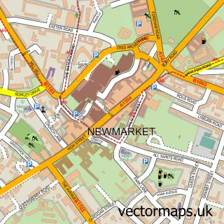
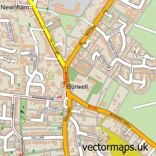
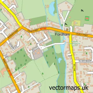
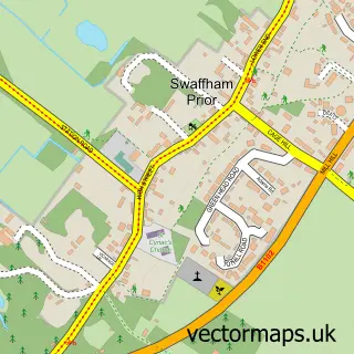
Nearby street map samples around Exning

More street maps in Suffolk
750 metre map area coverage
Boundary, postcode and point of interest information for the 750m x 750m rectangle centred on this sample map.
Boundaries containing map centre
Constituency: West Suffolk Co Const
County: Suffolk County
District: West Suffolk District
Icb: NHS Essex ICB
Parish: Exning CP
Police Force: suffolk
Postcode District: CB8
Postcode Sector: CB8 7
Ward: Exning Ward
Nearby boundaries intersecting sample
Parish: Newmarket CP
Ward: Newmarket West Ward
Postcode coverage
POI category counts
Automotive Repair: 3
Convenience Store: 3
Hair Salon: 3
Hotel: 3
Pub: 3
Anglican Church: 2
Building Supply Store: 2
Cosmetic Dentist: 2
Horse Trainer: 2
It Service And Computer Repair: 2
Sample points of interest
- Studio Indigo Design Media
- St Martin's Church
- St Martin's Exning
- 3 Line Electrical
- Bastable Lighting Services Limited
- West's Garage
- A M R Motors
- A2B Auto Repairs
- TSR engine conversions
- Regency Cakes
- Apo's Turkish Barber Shop
- BettaBeauty
Create a larger editable map of Exning
This sample shows only a 750 metre area. To create a larger map of Exning, use our map builder to choose your own coverage area, add titles and download editable SVG, PDF and PNG files.
Create a custom map of Exning