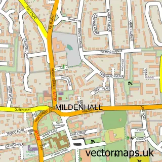
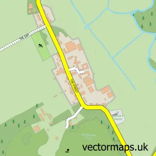
This Red Lodge street map is a detailed vector street map covering a 750m x 750m area. Select a larger area to create and download your own vector street map of Red Lodge.
The 750-metre map sample for Red Lodge covers 591 mapped buildings and approximately 18.3 km of road detail, of which 55 named roads are named. The immediate area includes 1 school and 1 GP surgery within 2 miles. The wider area around Red Lodge features 3 food and drink venues. To create a larger or custom map of Red Lodge, the map builder lets you define your own coverage area and download editable SVG, PDF and PNG files.
Create a larger editable map of Red Lodge
Choose any area you need and generate a high-quality vector map instantly. Perfect for print, planning, design, business and personal use.

This Red Lodge street map in Suffolk is available as downloadable SVG, PDF and PNG map files, or as a printed map for planning, business, display, education, local information and design work. You can also create a larger custom map area using the map selector.
What this Red Lodge map sample shows
Red Lodge lies within Red Lodge Cp parish, part of Iceni ward in the West Suffolk District local authority area. The postcode geography for this area includes the IP postcode area, the IP28 postcode district and the IP28 8 postcode sector. Residents fall under the Nhs Suffolk And North East Essex Integrated Care Board for NHS services.
Local features near Red Lodge
Within 2 milesAmenities and services in and around Red Lodge.
Administrative and postcode information for Red Lodge
The local authority covering Red Lodge is West Suffolk District, within the county of Suffolk. The settlement lies within Iceni ward and Red Lodge Cp civil parish. The IP28 postcode district and IP28 8 postcode sector serve the immediate area. NHS provision in the area is delivered through West Suffolk Nhs Foundation Trust.
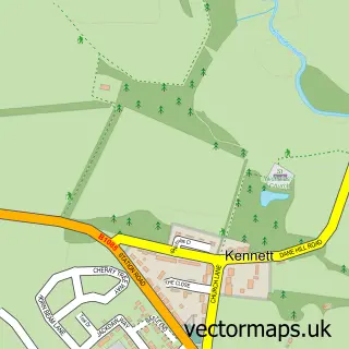
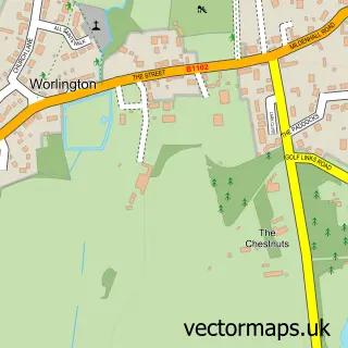
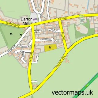
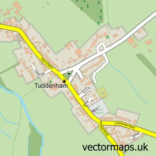
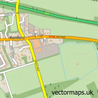
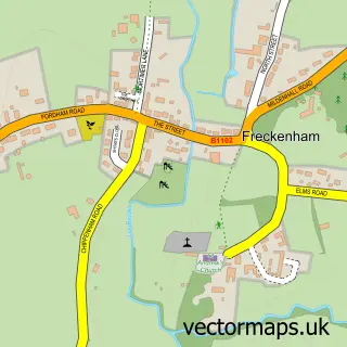
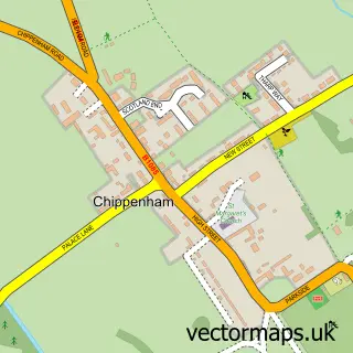
Nearby street map samples around Red Lodge

More street maps in Suffolk
750 metre map area coverage
Boundary, postcode and point of interest information for the 750m x 750m rectangle centred on this sample map.
Boundaries containing map centre
Constituency: West Suffolk Co Const
County: Suffolk County
District: West Suffolk District
Icb: NHS Essex ICB
Parish: Red Lodge CP
Police Force: suffolk
Postcode District: IP28
Postcode Sector: IP28 8
Ward: Iceni Ward
Nearby boundaries intersecting sample
No additional intersecting boundaries found.
Postcode coverage
POI category counts
Anglican Church: 2
Barber: 2
Cafe: 2
General Dentistry: 2
Post Office: 2
Accountant: 1
Beauty Salon: 1
Brewery: 1
Building Supply Store: 1
Contractor: 1
Sample points of interest
- Red Fox Accounting Ltd
- Lightwave Red Lodge
- St Christopher's Church
- Cutting Edge Red Lodge
- Kings barber redlodge
- Lash & Brows by Sian x
- Biochemist Brewery
- Avocet Electrical Technology
- Mighty Mug Cafe
- Red Lodge Chatty Café
- Chimney Removal LTD
- Nisa Local
Create a larger editable map of Red Lodge
This sample shows only a 750 metre area. To create a larger map of Red Lodge, use our map builder to choose your own coverage area, add titles and download editable SVG, PDF and PNG files.
Create a custom map of Red Lodge