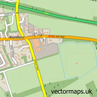
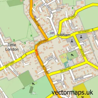
This Kennett street map is a detailed vector street map covering a 750m x 750m area. Select a larger area to create and download your own vector street map of Kennett.
The 750-metre map sample for Kennett covers 73 mapped buildings and approximately 3.7 km of road detail, of which 5 named roads are named. The immediate area includes 1 GP surgery within 2 miles and 2 MOT stations within 2 miles. The wider area around Kennett features 1 tourism point of interest. To create a larger or custom map of Kennett, the map builder lets you define your own coverage area and download editable SVG, PDF and PNG files.
Create a larger editable map of Kennett
Choose any area you need and generate a high-quality vector map instantly. Perfect for print, planning, design, business and personal use.

This Kennett street map in Cambridgeshire is available as downloadable SVG, PDF and PNG map files, or as a printed map for planning, business, display, education, local information and design work. You can also create a larger custom map area using the map selector.
What this Kennett map sample shows
Kennett lies within Kennett Cp parish, part of Fordham & Isleham ward in the East Cambridgeshire District local authority area. The postcode geography for this area includes the CB postcode area, the CB8 postcode district and the CB8 7 postcode sector. Residents fall under the Nhs Cambridgeshire And Peterborough Integrated Care Board for NHS services.
Local features near Kennett
Within 2 milesAmenities and services in and around Kennett.
Administrative and postcode information for Kennett
The local authority covering Kennett is East Cambridgeshire District, within the county of Cambridgeshire. The settlement lies within Fordham & Isleham ward and Kennett Cp civil parish. The CB8 postcode district and CB8 7 postcode sector serve the immediate area. NHS provision in the area is delivered through Cambridge University Hospitals Nhs Foundation Trust.
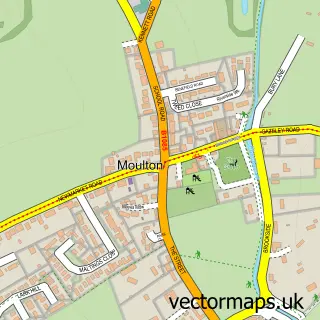
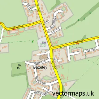
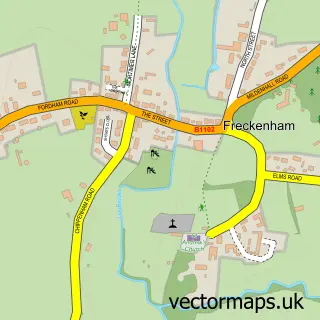
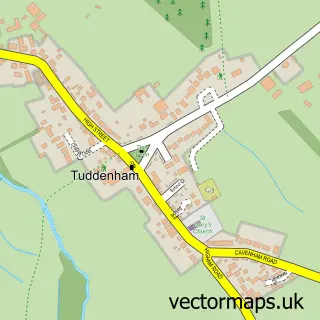
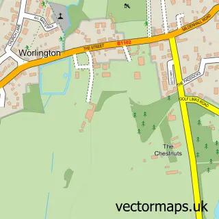
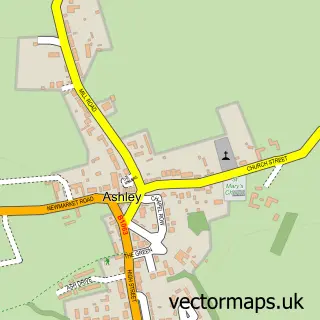
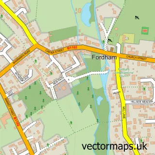
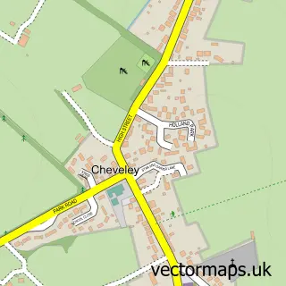
Nearby street map samples around Kennett

More street maps in Cambridgeshire
750 metre map area coverage
Boundary, postcode and point of interest information for the 750m x 750m rectangle centred on this sample map.
Boundaries containing map centre
Constituency: Ely and East Cambridgeshire Co Const
County: Cambridgeshire County
District: East Cambridgeshire District
Icb: NHS Central East ICB
Parish: Kennett CP
Police Force: cambridgeshire
Postcode District: CB8
Postcode Sector: CB8 7
Ward: Fordham & Isleham Ward
Nearby boundaries intersecting sample
No additional intersecting boundaries found.
Postcode coverage
POI category counts
Home Developer: 2
Anglican Church: 1
Building Supply Store: 1
Elementary School: 1
Landmark And Historical Building: 1
Software Development: 1
Sample points of interest
- St Nicholas Kennett
- Swanson Landscapes Ltd
- Kennett Primary School
- Ashberry Homes - Lark's Place at Kennett Garden Village
- Bellway - The Ferns at Kennett Garden Village
- Kennett, Cambridgeshire
- M R P Systems
Create a larger editable map of Kennett
This sample shows only a 750 metre area. To create a larger map of Kennett, use our map builder to choose your own coverage area, add titles and download editable SVG, PDF and PNG files.
Create a custom map of Kennett