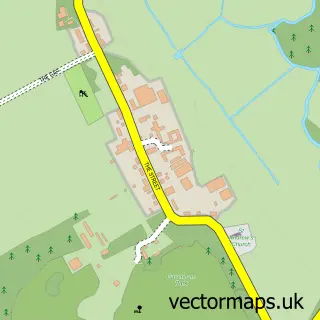
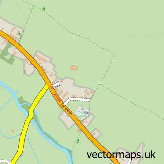
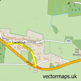
This Tuddenham street map is a detailed vector street map covering a 750m x 750m area. Select a larger area to create and download your own vector street map of Tuddenham.
The 750-metre map sample for Tuddenham covers 210 mapped buildings and approximately 6.7 km of road detail, of which 6 named roads are named. The immediate area includes 1 pub and 1 MOT station within 2 miles. The wider area around Tuddenham features 1 tourism point of interest and 1 food and drink venue. To create a larger or custom map of Tuddenham, the map builder lets you define your own coverage area and download editable SVG, PDF and PNG files.
Create a larger editable map of Tuddenham
Choose any area you need and generate a high-quality vector map instantly. Perfect for print, planning, design, business and personal use.

This Tuddenham street map in Suffolk is available as downloadable SVG, PDF and PNG map files, or as a printed map for planning, business, display, education, local information and design work. You can also create a larger custom map area using the map selector.
What this Tuddenham map sample shows
Tuddenham lies within Tuddenham Cp parish, part of Manor ward in the West Suffolk District local authority area. The postcode geography for this area includes the IP postcode area, the IP28 postcode district and the IP28 6 postcode sector. Residents fall under the Nhs Suffolk And North East Essex Integrated Care Board for NHS services.
Local features near Tuddenham
Within 2 milesAmenities and services in and around Tuddenham.
Administrative and postcode information for Tuddenham
Tuddenham lies within Tuddenham Cp parish, part of Manor ward in the West Suffolk District local authority area. The postcode geography for this area includes the IP postcode area, the IP28 postcode district and the IP28 6 postcode sector. Residents fall under the Nhs Suffolk And North East Essex Integrated Care Board for NHS services.
Nearby street map samples around Tuddenham

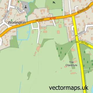
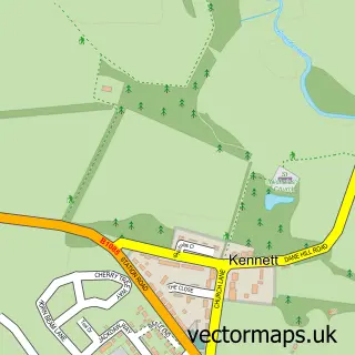
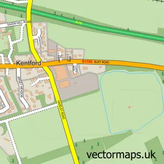
More street maps in Suffolk
750 metre map area coverage
Boundary, postcode and point of interest information for the 750m x 750m rectangle centred on this sample map.
Boundaries containing map centre
Constituency: West Suffolk Co Const
County: Suffolk County
District: West Suffolk District
Icb: NHS Essex ICB
Parish: Tuddenham CP
Police Force: suffolk
Postcode District: IP28
Postcode Sector: IP28 6
Ward: Manor Ward
Nearby boundaries intersecting sample
No additional intersecting boundaries found.
Postcode coverage
POI category counts
Amateur Sports Team: 1
Anglican Church: 1
Appliance Manufacturer: 1
Art Gallery: 1
Building Supply Store: 1
Corporate Office: 1
Energy Company: 1
Farmers Market: 1
Gardener: 1
Information Technology Company: 1
Sample points of interest
- Tuddenham Cricket Club
- Tuddenham St Mary
- Allen Newport
- Tabstract Art Studio
- Breedon Cavenham Asphalt Plant — Asphalt
- CS Certs
- Connected Kerb Charging Stations
- The Purple Pantry
- Tilbrooks Landscape
- Syrinx Systems Ltd.
- Flash
- Tuddenham
Create a larger editable map of Tuddenham
This sample shows only a 750 metre area. To create a larger map of Tuddenham, use our map builder to choose your own coverage area, add titles and download editable SVG, PDF and PNG files.
Create a custom map of Tuddenham