This Worlington street map is a detailed vector street map covering a 750m x 750m area. Select a larger area to create and download your own vector street map of Worlington.
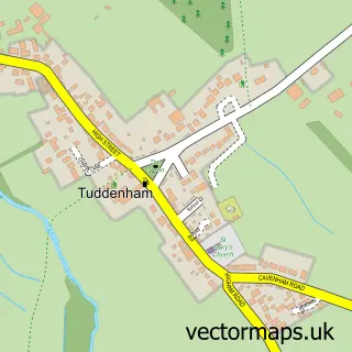
The 750-metre map sample for Worlington covers 177 mapped buildings and approximately 10.8 km of road detail, of which 10 named roads are named. The immediate area includes 2 GP surgeries within 2 miles, 1 pub and 6 MOT stations within 2 miles. The wider area around Worlington features 1 tourism point of interest, 1 food and drink venue and 1 hotel. To create a larger or custom map of Worlington, the map builder lets you define your own coverage area and download editable SVG, PDF and PNG files.
Create a larger editable map of Worlington
Choose any area you need and generate a high-quality vector map instantly. Perfect for print, planning, design, business and personal use.

This Worlington street map in Suffolk is available as downloadable SVG, PDF and PNG map files, or as a printed map for planning, business, display, education, local information and design work. You can also create a larger custom map area using the map selector.
What this Worlington map sample shows
Worlington lies within Worlington Cp parish, part of Manor ward in the West Suffolk District local authority area. The postcode geography for this area includes the IP postcode area, the IP28 postcode district and the IP28 8 postcode sector. Residents fall under the Nhs Suffolk And North East Essex Integrated Care Board for NHS services.
Local features near Worlington
Within 2 milesAmenities and services in and around Worlington.
Administrative and postcode information for Worlington
The local authority covering Worlington is West Suffolk District, within the county of Suffolk. The settlement lies within Manor ward and Worlington Cp civil parish. The IP28 postcode district and IP28 8 postcode sector serve the immediate area. NHS provision in the area is delivered through West Suffolk Nhs Foundation Trust.
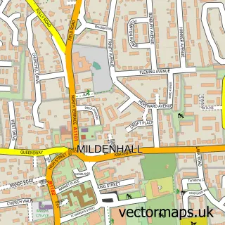
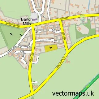
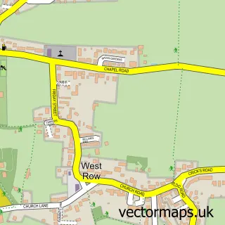
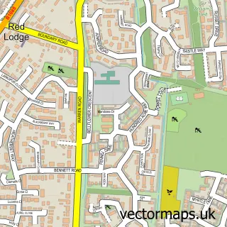
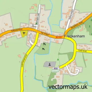
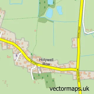
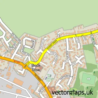
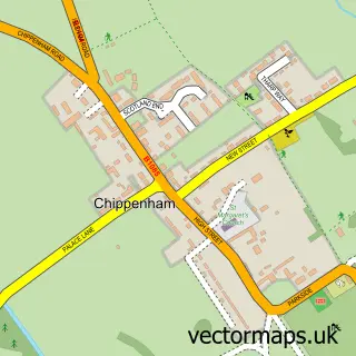
Nearby street map samples around Worlington

More street maps in Suffolk
750 metre map area coverage
Boundary, postcode and point of interest information for the 750m x 750m rectangle centred on this sample map.
Boundaries containing map centre
Constituency: West Suffolk Co Const
County: Suffolk County
District: West Suffolk District
Icb: NHS Essex ICB
Parish: Worlington CP
Police Force: suffolk
Postcode District: IP28
Postcode Sector: IP28 8
Ward: Manor Ward
Nearby boundaries intersecting sample
No additional intersecting boundaries found.
Postcode coverage
POI category counts
Building Supply Store: 2
Arts And Entertainment: 1
Carpenter: 1
Community Center: 1
Farming Services: 1
Forestry Service: 1
Horse Boarding: 1
Hotel: 1
Landmark And Historical Building: 1
Lawn Service: 1
Sample points of interest
- Heath Rosselli Portraits
- Absolute Fencing
- LawnHopper
- G Aves Carpentry & Joinery
- Worlington Village Hall
- RS Hygiene
- R S Hygiene
- Grove Farm Liveries and Carriages
- Worlington Hall
- Worlington, Suffolk
- LawnHopper(West Suffolk)Ltd.
- Earth Star Energy Medicine
Create a larger editable map of Worlington
This sample shows only a 750 metre area. To create a larger map of Worlington, use our map builder to choose your own coverage area, add titles and download editable SVG, PDF and PNG files.
Create a custom map of Worlington