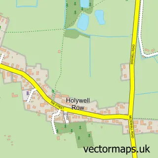
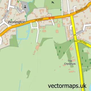
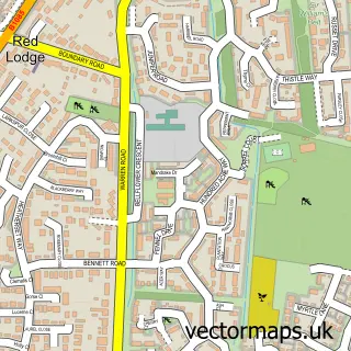
This Beck Row street map is a detailed vector street map covering a 750m x 750m area. Select a larger area to create and download your own vector street map of Beck Row.
The 750-metre map sample for Beck Row covers 376 mapped buildings and approximately 11.5 km of road detail, of which 21 named roads are named. The immediate area includes 1 MOT station, with 7 within 2 miles. The wider area around Beck Row features 1 hotel and 1 campsite within 2 miles. To create a larger or custom map of Beck Row, the map builder lets you define your own coverage area and download editable SVG, PDF and PNG files.
Create a larger editable map of Beck Row
Choose any area you need and generate a high-quality vector map instantly. Perfect for print, planning, design, business and personal use.

This Beck Row street map in Suffolk is available as downloadable SVG, PDF and PNG map files, or as a printed map for planning, business, display, education, local information and design work. You can also create a larger custom map area using the map selector.
What this Beck Row map sample shows
Beck Row lies within Beck Row, Holywell Row And Kenny Hill Cp parish, part of The Rows ward in the West Suffolk District local authority area. The postcode geography for this area includes the IP postcode area, the IP28 postcode district and the IP28 8 postcode sector. Residents fall under the Nhs Suffolk And North East Essex Integrated Care Board for NHS services.
Local features near Beck Row
Within 2 milesAmenities and services in and around Beck Row.
Administrative and postcode information for Beck Row
The local authority covering Beck Row is West Suffolk District, within the county of Suffolk. The settlement lies within The Rows ward and Beck Row, Holywell Row And Kenny Hill Cp civil parish. The IP28 postcode district and IP28 8 postcode sector serve the immediate area. NHS provision in the area is delivered through West Suffolk Nhs Foundation Trust.
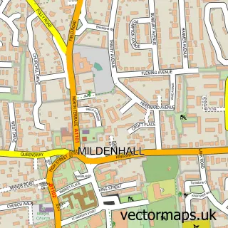
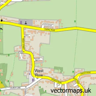
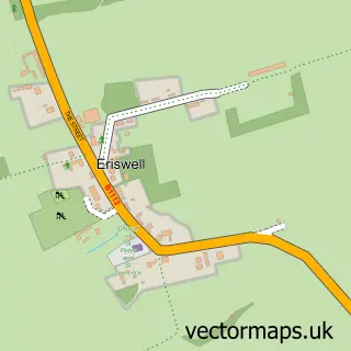
Nearby street map samples around Beck Row

More street maps in Suffolk
750 metre map area coverage
Boundary, postcode and point of interest information for the 750m x 750m rectangle centred on this sample map.
Boundaries containing map centre
Constituency: West Suffolk Co Const
County: Suffolk County
District: West Suffolk District
Icb: NHS Essex ICB
Parish: Beck Row, Holywell Row and Kenny Hill CP
Police Force: suffolk
Postcode District: IP28
Postcode Sector: IP28 8
Ward: The Rows Ward
Nearby boundaries intersecting sample
No additional intersecting boundaries found.
Postcode coverage
POI category counts
Beauty Salon: 2
Contractor: 2
Hunting And Fishing Supplies: 2
Automotive Repair: 1
Baby Gear And Furniture: 1
Bakery: 1
Beauty And Spa: 1
Bicycle Shop: 1
Choir: 1
Church Cathedral: 1
Sample points of interest
- Auto Speed
- Bubbatots
- West Cornwall Pasty Co
- Ak barber
- JLASH
- VIP Hair Lounge & Beauty
- KL Cycles Beck Row
- Benefice Choir
- Beck Row Methodist Church
- Made By Moonlight
- Palmer Brickworks Ltd
- GP Building Services
Create a larger editable map of Beck Row
This sample shows only a 750 metre area. To create a larger map of Beck Row, use our map builder to choose your own coverage area, add titles and download editable SVG, PDF and PNG files.
Create a custom map of Beck Row