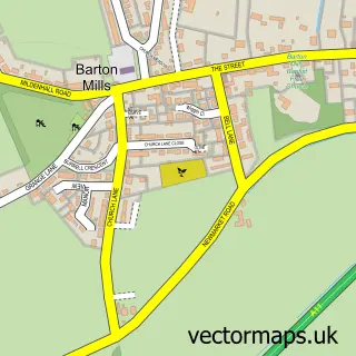
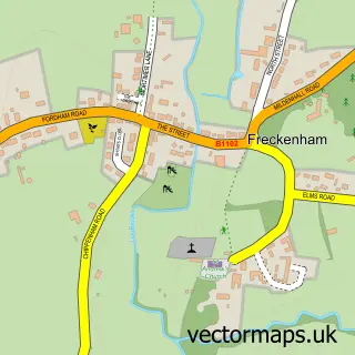
This Mildenhall street map is a detailed vector street map covering a 750m x 750m area. Select a larger area to create and download your own vector street map of Mildenhall.
The 750-metre map sample for Mildenhall covers 552 mapped buildings and approximately 18.7 km of road detail, of which 45 named roads are named. The immediate area includes 1 school, 1 GP surgery, 1 pub and 1 MOT station, with 9 within 2 miles. The wider area around Mildenhall features 2 tourism points of interest, 10 food and drink venues and 3 hotels. To create a larger or custom map of Mildenhall, the map builder lets you define your own coverage area and download editable SVG, PDF and PNG files.
Create a larger editable map of Mildenhall
Choose any area you need and generate a high-quality vector map instantly. Perfect for print, planning, design, business and personal use.

This Mildenhall street map in Suffolk is available as downloadable SVG, PDF and PNG map files, or as a printed map for planning, business, display, education, local information and design work. You can also create a larger custom map area using the map selector.
What this Mildenhall map sample shows
Mildenhall lies within Mildenhall Cp parish, part of Mildenhall Kingsway & Market ward in the West Suffolk District local authority area. The postcode geography for this area includes the IP postcode area, the IP28 postcode district and the IP28 7 postcode sector. Residents fall under the Nhs Suffolk And North East Essex Integrated Care Board for NHS services.
Local features near Mildenhall
Within 2 milesAmenities and services in and around Mildenhall.
Administrative and postcode information for Mildenhall
Mildenhall lies within Mildenhall Cp parish, part of Mildenhall Kingsway & Market ward in the West Suffolk District local authority area. The postcode geography for this area includes the IP postcode area, the IP28 postcode district and the IP28 7 postcode sector. Residents fall under the Nhs Suffolk And North East Essex Integrated Care Board for NHS services.
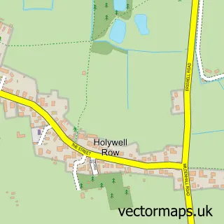
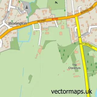
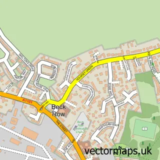
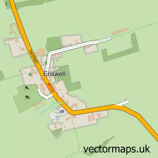
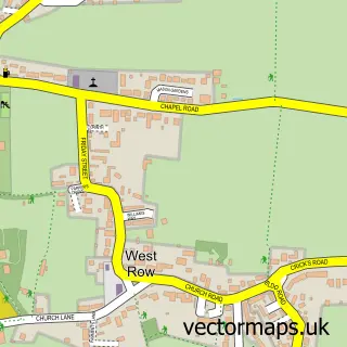
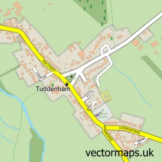
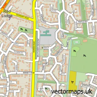
Nearby street map samples around Mildenhall

More street maps in Suffolk
750 metre map area coverage
Boundary, postcode and point of interest information for the 750m x 750m rectangle centred on this sample map.
Boundaries containing map centre
Constituency: West Suffolk Co Const
County: Suffolk County
District: West Suffolk District
Icb: NHS Essex ICB
Parish: Mildenhall High CP
Police Force: suffolk
Postcode District: IP28
Postcode Sector: IP28 7
Ward: Mildenhall Kingsway & Market Ward
Nearby boundaries intersecting sample
Ward: Mildenhall Great Heath Ward, Mildenhall Queensway Ward
Postcode coverage
POI category counts
Beauty Salon: 10
Cafe: 7
Barber: 5
Professional Services: 5
Real Estate Agent: 5
Betting Center: 4
Chinese Restaurant: 4
Flowers And Gifts Shop: 4
Accountant: 3
Banks: 3
Sample points of interest
- Gray & Co.
- Gray and Co Dan Limited
- Whiting & Partners, Chartered Accountants & Business Advisers
- St. Mary's Church, Mildenhall
- Rusty Trunk Antiques and Collectables
- Sue Ryder
- Tabstract Art Studio
- Mabbs Hall Nursing Home
- Suffolk Housing Society
- Smart Tech Systems
- Apex Pro Scaffolding Ltd.
- SOLARSAT Digital TV
Create a larger editable map of Mildenhall
This sample shows only a 750 metre area. To create a larger map of Mildenhall, use our map builder to choose your own coverage area, add titles and download editable SVG, PDF and PNG files.
Create a custom map of Mildenhall