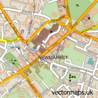
This Moulton street map is a detailed vector street map covering a 750m x 750m area. Select a larger area to create and download your own vector street map of Moulton.
The 750-metre map sample for Moulton covers 253 mapped buildings and approximately 10.3 km of road detail, of which 18 named roads are named. The immediate area includes 1 school, 1 pub and 2 MOT stations within 2 miles. The wider area around Moulton features 1 tourism point of interest and 1 food and drink venue. To create a larger or custom map of Moulton, the map builder lets you define your own coverage area and download editable SVG, PDF and PNG files.
Create a larger editable map of Moulton
Choose any area you need and generate a high-quality vector map instantly. Perfect for print, planning, design, business and personal use.

This Moulton street map in Suffolk is available as downloadable SVG, PDF and PNG map files, or as a printed map for planning, business, display, education, local information and design work. You can also create a larger custom map area using the map selector.
What this Moulton map sample shows
Moulton lies within Moulton Cp parish, part of Kentford & Moulton ward in the West Suffolk District local authority area. The postcode geography for this area includes the CB postcode area, the CB8 postcode district and the CB8 8 postcode sector. Residents fall under the Nhs Suffolk And North East Essex Integrated Care Board for NHS services.
Local features near Moulton
Within 2 milesAmenities and services in and around Moulton.
Administrative and postcode information for Moulton
The local authority covering Moulton is West Suffolk District, within the county of Suffolk. The settlement lies within Kentford & Moulton ward and Moulton Cp civil parish. The CB8 postcode district and CB8 8 postcode sector serve the immediate area. NHS provision in the area is delivered through West Suffolk Nhs Foundation Trust.
Nearby street map samples around Moulton

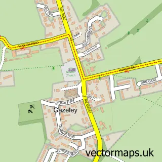
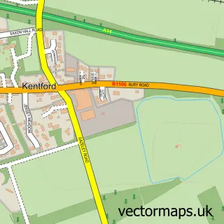
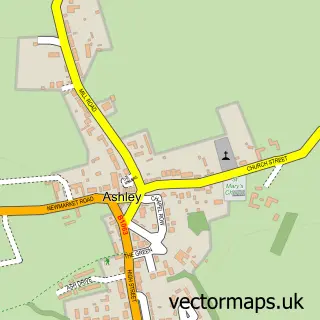

More street maps in Suffolk
750 metre map area coverage
Boundary, postcode and point of interest information for the 750m x 750m rectangle centred on this sample map.
Boundaries containing map centre
Constituency: West Suffolk Co Const
County: Suffolk County
District: West Suffolk District
Icb: NHS Essex ICB
Parish: Moulton CP
Police Force: suffolk
Postcode District: CB8
Postcode Sector: CB8 8
Ward: Kentford & Moulton Ward
Nearby boundaries intersecting sample
No additional intersecting boundaries found.
Postcode coverage
POI category counts
Elementary School: 2
Furniture Store: 2
Post Office: 2
Advertising Agency: 1
Bar: 1
Beauty And Spa: 1
Bed And Breakfast: 1
Bridge: 1
Building Supply Store: 1
Construction Services: 1
Sample points of interest
- Roarr Design
- The Kings Head
- Beauty By H.E.R - Hannah Reed
- Folly Hill House
- Moulton Packhorse Bridge
- Dale Burch & Son
- I Charlesworth & Sons
- Standards for Business Improvement
- FS Electrical
- Moulton CEVC Primary School
- Moulton Primary School
- Packhorse Poultry
Create a larger editable map of Moulton
This sample shows only a 750 metre area. To create a larger map of Moulton, use our map builder to choose your own coverage area, add titles and download editable SVG, PDF and PNG files.
Create a custom map of Moulton