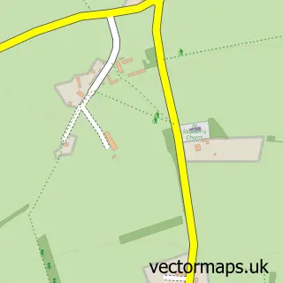
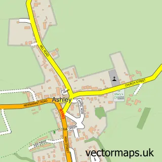
This Gazeley street map is a detailed vector street map covering a 750m x 750m area. Select a larger area to create and download your own vector street map of Gazeley.
The 750-metre map sample for Gazeley covers 236 mapped buildings and approximately 10.4 km of road detail, of which 14 named roads are named. The immediate area includes 1 pub and 2 MOT stations within 2 miles. The wider area around Gazeley features 1 food and drink venue. To create a larger or custom map of Gazeley, the map builder lets you define your own coverage area and download editable SVG, PDF and PNG files.
Create a larger editable map of Gazeley
Choose any area you need and generate a high-quality vector map instantly. Perfect for print, planning, design, business and personal use.

This Gazeley street map in Suffolk is available as downloadable SVG, PDF and PNG map files, or as a printed map for planning, business, display, education, local information and design work. You can also create a larger custom map area using the map selector.
What this Gazeley map sample shows
Gazeley lies within Gazeley Cp parish, part of Kentford & Moulton ward in the West Suffolk District local authority area. The postcode geography for this area includes the CB postcode area, the CB8 postcode district and the CB8 8 postcode sector. Residents fall under the Nhs Suffolk And North East Essex Integrated Care Board for NHS services.
Local features near Gazeley
Within 2 milesAmenities and services in and around Gazeley.
Administrative and postcode information for Gazeley
Gazeley lies within Gazeley Cp parish, part of Kentford & Moulton ward in the West Suffolk District local authority area. The postcode geography for this area includes the CB postcode area, the CB8 postcode district and the CB8 8 postcode sector. Residents fall under the Nhs Suffolk And North East Essex Integrated Care Board for NHS services.
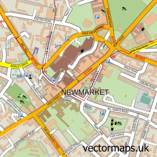
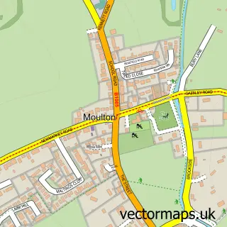
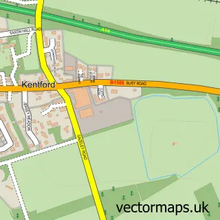
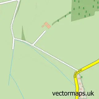
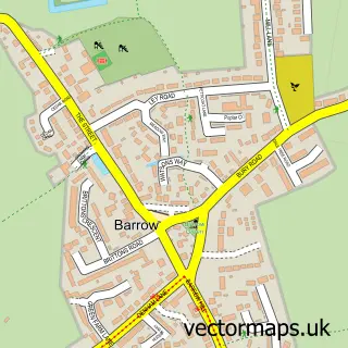
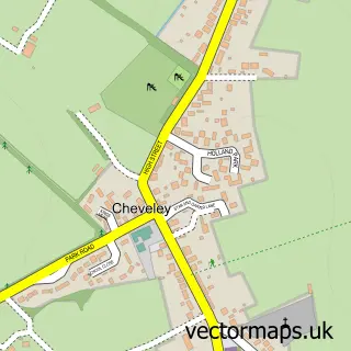
Nearby street map samples around Gazeley


More street maps in Suffolk
750 metre map area coverage
Boundary, postcode and point of interest information for the 750m x 750m rectangle centred on this sample map.
Boundaries containing map centre
Constituency: West Suffolk Co Const
County: Suffolk County
District: West Suffolk District
Icb: NHS Essex ICB
Parish: Gazeley CP
Police Force: suffolk
Postcode District: CB8
Postcode Sector: CB8 8
Ward: Kentford & Moulton Ward
Nearby boundaries intersecting sample
Parish: Moulton CP
Postcode coverage
POI category counts
Arts And Crafts: 2
Web Designer: 2
Anglican Church: 1
Brewery: 1
Building Supply Store: 1
Church Cathedral: 1
Community Center: 1
Fence And Gate Sales Service: 1
Gym: 1
Indian Restaurant: 1
Sample points of interest
- Gazeley All Saints' Church
- The Yarn Gallery
- The Yarn Gallery
- Munsons Brewery at The Chequers
- BS Initiative
- All Saints' Church
- Gazeley Village Hall
- Thomas Ball Fencing
- Totally Fit
- India Village
- Mutt's of Moulton Dog Grooming
- 360 All Round Wellbeing
Create a larger editable map of Gazeley
This sample shows only a 750 metre area. To create a larger map of Gazeley, use our map builder to choose your own coverage area, add titles and download editable SVG, PDF and PNG files.
Create a custom map of Gazeley