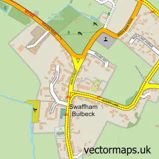
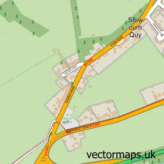
This Swaffham Prior street map is a detailed vector street map covering a 750m x 750m area. Select a larger area to create and download your own vector street map of Swaffham Prior.
The 750-metre map sample for Swaffham Prior covers 245 mapped buildings and approximately 12.9 km of road detail, of which 12 named roads are named. The immediate area includes 1 school, 1 pub and 1 MOT station within 2 miles. The wider area around Swaffham Prior features 1 tourism point of interest and 1 food and drink venue. To create a larger or custom map of Swaffham Prior, the map builder lets you define your own coverage area and download editable SVG, PDF and PNG files.
Create a larger editable map of Swaffham Prior
Choose any area you need and generate a high-quality vector map instantly. Perfect for print, planning, design, business and personal use.

This Swaffham Prior street map in Cambridgeshire is available as downloadable SVG, PDF and PNG map files, or as a printed map for planning, business, display, education, local information and design work. You can also create a larger custom map area using the map selector.
What this Swaffham Prior map sample shows
Swaffham Prior lies within Swaffham Prior Cp parish, part of Bottisham ward in the East Cambridgeshire District local authority area. The postcode geography for this area includes the CB postcode area, the CB25 postcode district and the CB25 0 postcode sector. Residents fall under the Nhs Cambridgeshire And Peterborough Integrated Care Board for NHS services.
Local features near Swaffham Prior
Within 2 milesAmenities and services in and around Swaffham Prior.
Administrative and postcode information for Swaffham Prior
The local authority covering Swaffham Prior is East Cambridgeshire District, within the county of Cambridgeshire. The settlement lies within Bottisham ward and Swaffham Prior Cp civil parish. The CB25 postcode district and CB25 0 postcode sector serve the immediate area. NHS provision in the area is delivered through Cambridge University Hospitals Nhs Foundation Trust.
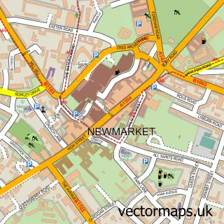
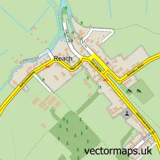
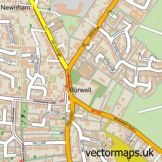
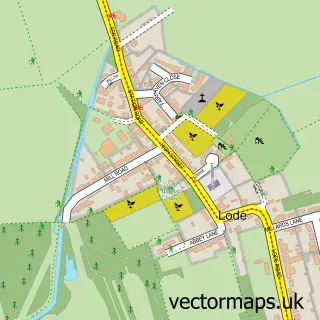
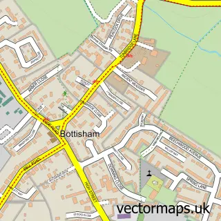
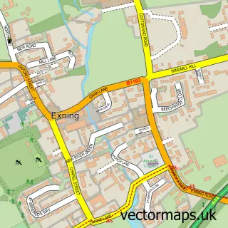
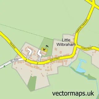
Nearby street map samples around Swaffham Prior

More street maps in Cambridgeshire
750 metre map area coverage
Boundary, postcode and point of interest information for the 750m x 750m rectangle centred on this sample map.
Boundaries containing map centre
Constituency: Ely and East Cambridgeshire Co Const
County: Cambridgeshire County
District: East Cambridgeshire District
Icb: NHS Central East ICB
Parish: Swaffham Prior CP
Police Force: cambridgeshire
Postcode District: CB25
Postcode Sector: CB25 0
Ward: Bottisham Ward
Nearby boundaries intersecting sample
No additional intersecting boundaries found.
Postcode coverage
POI category counts
Advertising Agency: 1
Anglican Church: 1
Arts And Crafts: 1
Assisted Living Facility: 1
Campground: 1
Church Cathedral: 1
Flowers And Gifts Shop: 1
Genealogists: 1
Gym: 1
Home Goods Store: 1
Sample points of interest
- M J Webb Associates
- Swaffham Prior: St Mary
- Bramble Cottage Crafts
- Guyatt House Care
- Devils Dyke Camp Site
- SS Cyriac and Julitta's Church
- Dried Floral Designs
- The Tree Sleuths
- Swaffham Prior Hall de Village
- J and J UK Sales
- Personable Computers
- Natalie J. A. Turner - Notary Public
Create a larger editable map of Swaffham Prior
This sample shows only a 750 metre area. To create a larger map of Swaffham Prior, use our map builder to choose your own coverage area, add titles and download editable SVG, PDF and PNG files.
Create a custom map of Swaffham Prior