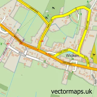
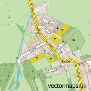
This Burwell street map is a detailed vector street map covering a 750m x 750m area. Select a larger area to create and download your own vector street map of Burwell.
The 750-metre map sample for Burwell covers 560 mapped buildings and approximately 14.7 km of road detail, of which 34 named roads are named. The immediate area includes 1 school, 1 GP surgery and 2 MOT stations, with 3 within 2 miles. The wider area around Burwell features 3 tourism points of interest. To create a larger or custom map of Burwell, the map builder lets you define your own coverage area and download editable SVG, PDF and PNG files.
Create a larger editable map of Burwell
Choose any area you need and generate a high-quality vector map instantly. Perfect for print, planning, design, business and personal use.

This Burwell street map in Cambridgeshire is available as downloadable SVG, PDF and PNG map files, or as a printed map for planning, business, display, education, local information and design work. You can also create a larger custom map area using the map selector.
What this Burwell map sample shows
Burwell lies within Burwell Cp parish, part of Burwell ward in the East Cambridgeshire District local authority area. The postcode geography for this area includes the CB postcode area, the CB25 postcode district and the CB25 0 postcode sector. Residents fall under the Nhs Cambridgeshire And Peterborough Integrated Care Board for NHS services.
Local features near Burwell
Within 2 milesAmenities and services in and around Burwell.
Administrative and postcode information for Burwell
Burwell lies within Burwell Cp parish, part of Burwell ward in the East Cambridgeshire District local authority area. The postcode geography for this area includes the CB postcode area, the CB25 postcode district and the CB25 0 postcode sector. Residents fall under the Nhs Cambridgeshire And Peterborough Integrated Care Board for NHS services.
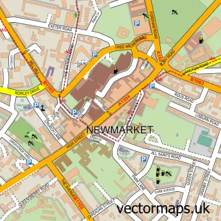
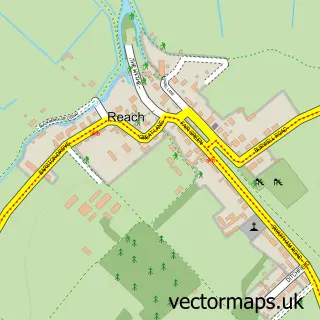
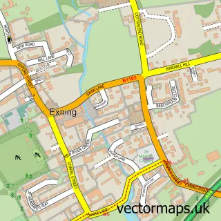
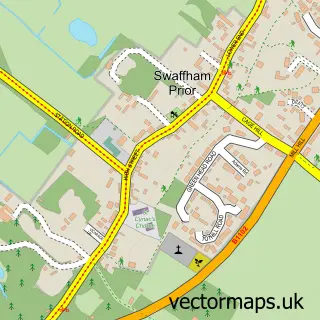
Nearby street map samples around Burwell

More street maps in Cambridgeshire
750 metre map area coverage
Boundary, postcode and point of interest information for the 750m x 750m rectangle centred on this sample map.
Boundaries containing map centre
Constituency: Ely and East Cambridgeshire Co Const
County: Cambridgeshire County
District: East Cambridgeshire District
Icb: NHS Central East ICB
Parish: Burwell CP
Police Force: cambridgeshire
Postcode District: CB25
Postcode Sector: CB25 0
Ward: Burwell Ward
Nearby boundaries intersecting sample
No additional intersecting boundaries found.
Postcode coverage
POI category counts
Building Supply Store: 3
Contractor: 3
Electrician: 3
Assisted Living Facility: 2
Automotive Repair: 2
Dentist: 2
Gas Station: 2
Grocery Store: 2
Home Service: 2
Information Technology Company: 2
Sample points of interest
- Profile Design
- Cambridge City Airport
- First Port
- Guyatt House Care
- Asda (C) Burwell - Ness Road PFS , Burwell
- P D L Electrical
- Type 2 Detectives
- Audi Specialists
- Manchetts Burwell Ltd
- Manchetts Commercial Workshops
- Chambers Barber Shop
- ALN Carpentry & Joinery
Create a larger editable map of Burwell
This sample shows only a 750 metre area. To create a larger map of Burwell, use our map builder to choose your own coverage area, add titles and download editable SVG, PDF and PNG files.
Create a custom map of Burwell