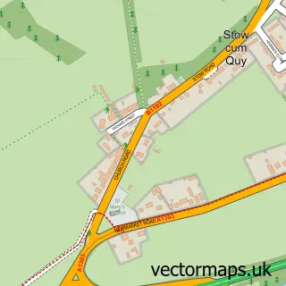
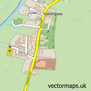
This Bottisham street map is a detailed vector street map covering a 750m x 750m area. Select a larger area to create and download your own vector street map of Bottisham.
The 750-metre map sample for Bottisham covers 413 mapped buildings and approximately 14.8 km of road detail, of which 30 named roads are named. The immediate area includes 1 GP surgery, 1 pub and 2 MOT stations. The wider area around Bottisham features 1 food and drink venue. To create a larger or custom map of Bottisham, the map builder lets you define your own coverage area and download editable SVG, PDF and PNG files.
Create a larger editable map of Bottisham
Choose any area you need and generate a high-quality vector map instantly. Perfect for print, planning, design, business and personal use.

This Bottisham street map in Cambridgeshire is available as downloadable SVG, PDF and PNG map files, or as a printed map for planning, business, display, education, local information and design work. You can also create a larger custom map area using the map selector.
What this Bottisham map sample shows
Bottisham lies within Bottisham Cp parish, part of Bottisham ward in the East Cambridgeshire District local authority area. The postcode geography for this area includes the CB postcode area, the CB25 postcode district and the CB25 9 postcode sector. Residents fall under the Nhs Cambridgeshire And Peterborough Integrated Care Board for NHS services.
Local features near Bottisham
Within 2 milesAmenities and services in and around Bottisham.
Administrative and postcode information for Bottisham
Bottisham lies within Bottisham Cp parish, part of Bottisham ward in the East Cambridgeshire District local authority area. The postcode geography for this area includes the CB postcode area, the CB25 postcode district and the CB25 9 postcode sector. Residents fall under the Nhs Cambridgeshire And Peterborough Integrated Care Board for NHS services.
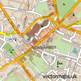
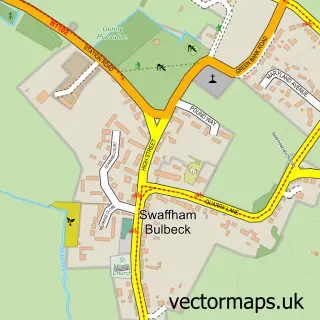
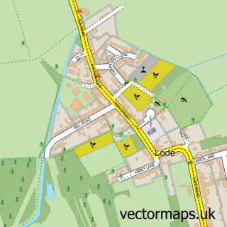
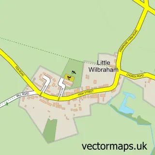
Nearby street map samples around Bottisham

More street maps in Cambridgeshire
750 metre map area coverage
Boundary, postcode and point of interest information for the 750m x 750m rectangle centred on this sample map.
Boundaries containing map centre
Constituency: Ely and East Cambridgeshire Co Const
County: Cambridgeshire County
District: East Cambridgeshire District
Icb: NHS Central East ICB
Parish: Bottisham CP
Police Force: cambridgeshire
Postcode District: CB25
Postcode Sector: CB25 9
Ward: Bottisham Ward
Nearby boundaries intersecting sample
No additional intersecting boundaries found.
Postcode coverage
POI category counts
Assisted Living Facility: 3
Key And Locksmith: 3
Professional Services: 3
Automotive Repair: 2
Hair Salon: 2
Home Service: 2
School: 2
Shipping Center: 2
Storage Facility: 2
Accountant: 1
Sample points of interest
- IDB Bookkeeping Services
- MHA - Bottisham
- MHA Queens Court - Residential & Dementia Care Home
- Queens Court
- E C Auto Care
- Unipart Car Care Centre
- Bottisham Barbers
- PCW Window Cleaners
- E. J. Denston Carpentry
- Lisa's Little Adventurers
- Holy Trinity Church
- Downing College Archives
Create a larger editable map of Bottisham
This sample shows only a 750 metre area. To create a larger map of Bottisham, use our map builder to choose your own coverage area, add titles and download editable SVG, PDF and PNG files.
Create a custom map of Bottisham