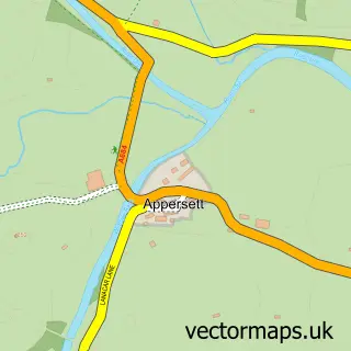
This Askrigg street map is a detailed vector street map covering a 750m x 750m area. Select a larger area to create and download your own vector street map of Askrigg.
The 750-metre map sample for Askrigg covers 121 mapped buildings and approximately 5.0 km of road detail, of which 10 named roads are named. The immediate area includes 3 pubs and 1 MOT station within 2 miles. The wider area around Askrigg features 2 tourism points of interest, 5 food and drink venues and 5 hotels. To create a larger or custom map of Askrigg, the map builder lets you define your own coverage area and download editable SVG, PDF and PNG files.
Create a larger editable map of Askrigg
Choose any area you need and generate a high-quality vector map instantly. Perfect for print, planning, design, business and personal use.

This Askrigg street map in North Yorkshire is available as downloadable SVG, PDF and PNG map files, or as a printed map for planning, business, display, education, local information and design work. You can also create a larger custom map area using the map selector.
What this Askrigg map sample shows
Askrigg lies within Low Abbotside Cp parish, part of Yoredale ward in the North Yorkshire local authority area. The postcode geography for this area includes the DL postcode area, the DL8 postcode district and the DL8 3 postcode sector. Residents fall under the Nhs Humber And North Yorkshire Integrated Care Board for NHS services.
Local features near Askrigg
Within 2 milesAmenities and services in and around Askrigg.
Administrative and postcode information for Askrigg
The local authority covering Askrigg is North Yorkshire, within the county of North Yorkshire. The settlement lies within Yoredale ward and Low Abbotside Cp civil parish. The DL8 postcode district and DL8 3 postcode sector serve the immediate area. NHS provision in the area is delivered through South Tees Hospitals Nhs Foundation Trust.
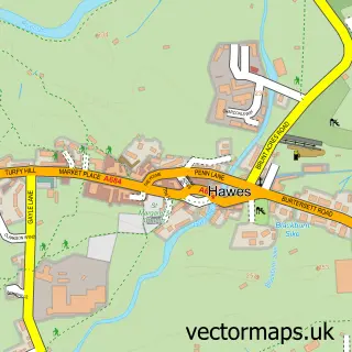
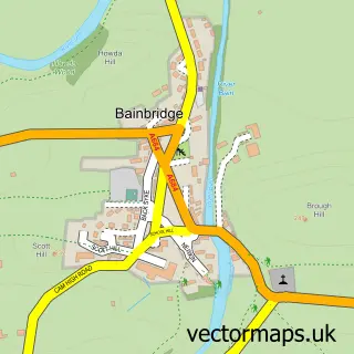
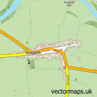
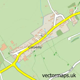
Nearby street map samples around Askrigg

More street maps in North Yorkshire
750 metre map area coverage
Boundary, postcode and point of interest information for the 750m x 750m rectangle centred on this sample map.
Boundaries containing map centre
Constituency: Richmond and Northallerton Co Const
District: North Yorkshire
Icb: NHS Humber and North Yorkshire ICB
Parish: Askrigg CP
Police Force: north yorkshire
Postcode District: DL8
Postcode Sector: DL8 3
Nearby boundaries intersecting sample
Parish: Low Abbotside CP
Postcode coverage
POI category counts
Bed And Breakfast: 6
Holiday Rental Home: 6
Hotel: 5
Pub: 3
Cafe: 2
Post Office: 2
Accommodation: 1
Anglican Church: 1
Arts And Crafts: 1
Attractions And Activities: 1
Sample points of interest
- Old Mill Cottages
- Askrigg: St Oswald's
- Askrigg Ropemakers
- Low Mill Outdoor Centre
- Carrs Billington
- Holmedale Bed & Breakfast
- Manor House Bed & Breakfast
- Milton House Bed & Breakfast
- Sykes House
- Thornsgill House Bed & Breakfast
- Thornsgill House Bed and Breakfast
- J B Cockburn & Sons
Create a larger editable map of Askrigg
This sample shows only a 750 metre area. To create a larger map of Askrigg, use our map builder to choose your own coverage area, add titles and download editable SVG, PDF and PNG files.
Create a custom map of Askrigg