This Gunnerside street map is a detailed vector street map covering a 750m x 750m area. Select a larger area to create and download your own vector street map of Gunnerside.
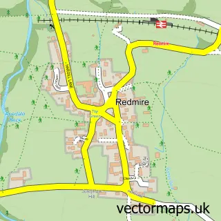
The 750-metre map sample for Gunnerside covers 72 mapped buildings and approximately 8.4 km of road detail. The immediate area includes 1 school and 1 pub. The wider area around Gunnerside features 2 food and drink venues and 4 hotels. To create a larger or custom map of Gunnerside, the map builder lets you define your own coverage area and download editable SVG, PDF and PNG files.
Create a larger editable map of Gunnerside
Choose any area you need and generate a high-quality vector map instantly. Perfect for print, planning, design, business and personal use.

This Gunnerside street map in North Yorkshire is available as downloadable SVG, PDF and PNG map files, or as a printed map for planning, business, display, education, local information and design work. You can also create a larger custom map area using the map selector.
What this Gunnerside map sample shows
Gunnerside lies within Melbecks Cp parish, part of Hawes, High Abbotside & Upper Swaledale ward in the North Yorkshire local authority area. The postcode geography for this area includes the DL postcode area, the DL11 postcode district and the DL11 6 postcode sector. Residents fall under the Nhs Humber And North Yorkshire Integrated Care Board for NHS services.
Local features near Gunnerside
Within 2 milesAmenities and services in and around Gunnerside.
Administrative and postcode information for Gunnerside
Gunnerside lies within Melbecks Cp parish, part of Hawes, High Abbotside & Upper Swaledale ward in the North Yorkshire local authority area. The postcode geography for this area includes the DL postcode area, the DL11 postcode district and the DL11 6 postcode sector. Residents fall under the Nhs Humber And North Yorkshire Integrated Care Board for NHS services.
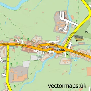
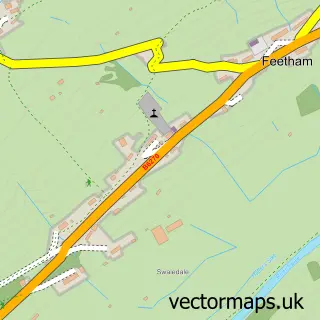
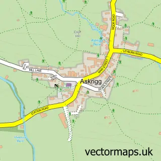
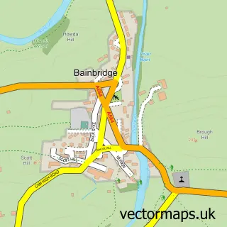
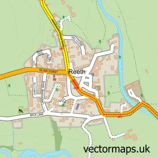
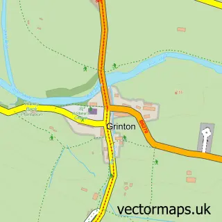
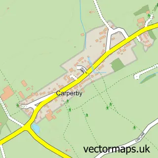
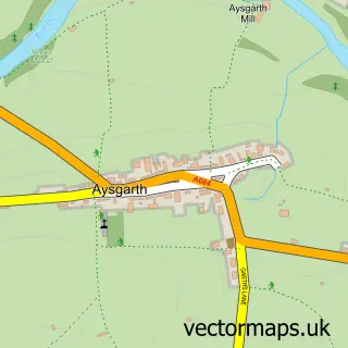
Nearby street map samples around Gunnerside

More street maps in North Yorkshire
750 metre map area coverage
Boundary, postcode and point of interest information for the 750m x 750m rectangle centred on this sample map.
Boundaries containing map centre
Constituency: Richmond and Northallerton Co Const
District: North Yorkshire
Icb: NHS Humber and North Yorkshire ICB
Parish: Melbecks CP
Police Force: north yorkshire
Postcode District: DL11
Postcode Sector: DL11 6
Nearby boundaries intersecting sample
Parish: Muker CP
Postcode coverage
POI category counts
Hotel: 4
Cottage: 2
Tea Room: 2
Bridge: 1
Coffee Shop: 1
Holiday Rental Home: 1
Metal Fabricator: 1
Pub: 1
Sample points of interest
- Ivelet Bridge
- Muker Village Store & Teashop
- Beckside Cottage
- Lupin Cottage in Gunnerside, North Yorkshire
- Bridge View Cottage
- Christmas Cottage Holiday Let, Gunnerside, Swaledale, Yorkshire Dales
- Kings Arms Hotel
- Oxnop Hall
- Roof Farm Cottage Gunnerside
- The Old Working Smithy
- Kings Head
- Ghyllfoot Tea Rooms and Restaurant
Create a larger editable map of Gunnerside
This sample shows only a 750 metre area. To create a larger map of Gunnerside, use our map builder to choose your own coverage area, add titles and download editable SVG, PDF and PNG files.
Create a custom map of Gunnerside