This Gayle street map is a detailed vector street map covering a 750m x 750m area. Select a larger area to create and download your own vector street map of Gayle.
The 750-metre map sample for Gayle covers 116 mapped buildings and approximately 9.5 km of road detail, of which 12 named roads are named. The immediate area includes 1 GP surgery within 2 miles and 1 MOT station within 2 miles. The wider area around Gayle features 1 tourism point of interest, 2 food and drink venues and 3 campsites within 2 miles. To create a larger or custom map of Gayle, the map builder lets you define your own coverage area and download editable SVG, PDF and PNG files.
Create a larger editable map of Gayle
Choose any area you need and generate a high-quality vector map instantly. Perfect for print, planning, design, business and personal use.

This Gayle street map in North Yorkshire is available as downloadable SVG, PDF and PNG map files, or as a printed map for planning, business, display, education, local information and design work. You can also create a larger custom map area using the map selector.
What this Gayle map sample shows
Gayle lies within Hawes Cp parish, part of Hawes, High Abbotside & Upper Swaledale ward in the North Yorkshire local authority area. The postcode geography for this area includes the DL postcode area, the DL8 postcode district and the DL8 3 postcode sector. Residents fall under the Nhs Humber And North Yorkshire Integrated Care Board for NHS services.
Local features near Gayle
Within 2 milesAmenities and services in and around Gayle.
Administrative and postcode information for Gayle
Gayle lies within Hawes Cp parish, part of Hawes, High Abbotside & Upper Swaledale ward in the North Yorkshire local authority area. The postcode geography for this area includes the DL postcode area, the DL8 postcode district and the DL8 3 postcode sector. Residents fall under the Nhs Humber And North Yorkshire Integrated Care Board for NHS services.
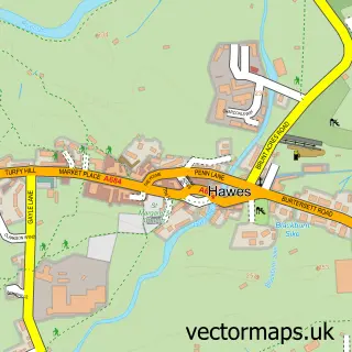
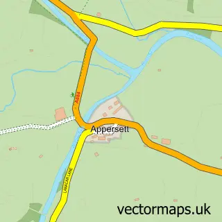
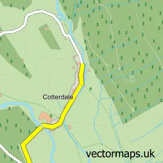
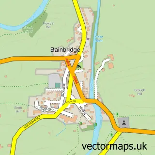
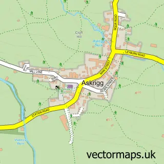
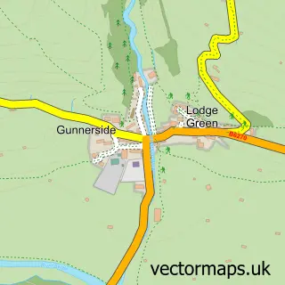
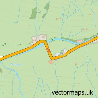
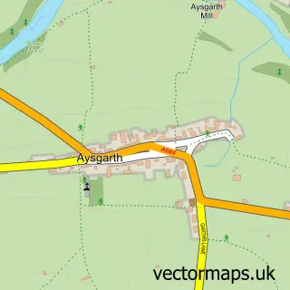
Nearby street map samples around Gayle

More street maps in North Yorkshire
750 metre map area coverage
Boundary, postcode and point of interest information for the 750m x 750m rectangle centred on this sample map.
Boundaries containing map centre
Constituency: Richmond and Northallerton Co Const
District: North Yorkshire
Icb: NHS Humber and North Yorkshire ICB
Parish: Hawes CP
Police Force: north yorkshire
Postcode District: DL8
Postcode Sector: DL8 3
Nearby boundaries intersecting sample
No additional intersecting boundaries found.
Postcode coverage
POI category counts
Bed And Breakfast: 1
Cabin: 1
Cheese Shop: 1
Coffee Shop: 1
Holiday Rental Home: 1
Kids Recreation And Party: 1
Landmark And Historical Building: 1
Restaurant: 1
Sample points of interest
- South View
- Sybils Cottage
- Wensleydale Creamery
- 1897 Coffee Shop
- Beckstones House
- Gayle Mill
- Gayle Mill
- Calvert's Restaurant
Create a larger editable map of Gayle
This sample shows only a 750 metre area. To create a larger map of Gayle, use our map builder to choose your own coverage area, add titles and download editable SVG, PDF and PNG files.
Create a custom map of Gayle