This Auchencairn street map is a detailed vector street map covering a 750m x 750m area. Select a larger area to create and download your own vector street map of Auchencairn.
The 750-metre map sample for Auchencairn covers 107 mapped buildings and approximately 9.5 km of road detail, of which 8 named roads are named. The wider area around Auchencairn features 1 tourism point of interest. To create a larger or custom map of Auchencairn, the map builder lets you define your own coverage area and download editable SVG, PDF and PNG files.
Create a larger editable map of Auchencairn
Choose any area you need and generate a high-quality vector map instantly. Perfect for print, planning, design, business and personal use.

This Auchencairn street map in The Stewartry of Kirkcudbright is available as downloadable SVG, PDF and PNG map files, or as a printed map for planning, business, display, education, local information and design work. You can also create a larger custom map area using the map selector.
What this Auchencairn map sample shows
Auchencairn lies within Dumfries And Galloway parish, part of Dee And Glenkens ward in the Dumfries And Galloway local authority area. The postcode geography for this area includes the DG postcode area, the DG7 postcode district and the DG7 1 postcode sector. Residents fall under the Dumfries And Galloway for NHS services.
Local features near Auchencairn
Within 2 milesAmenities and services in and around Auchencairn.
Administrative and postcode information for Auchencairn
The local authority covering Auchencairn is Dumfries And Galloway, within the county of The Stewartry Of Kirkcudbright. The settlement lies within Dee And Glenkens ward and Dumfries And Galloway civil parish. The DG7 postcode district and DG7 1 postcode sector serve the immediate area. NHS provision in the area is delivered through Dumfries And Galloway.
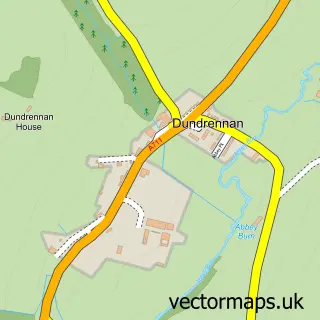
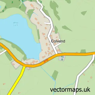
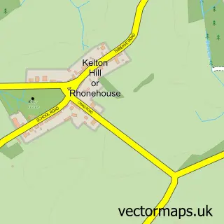
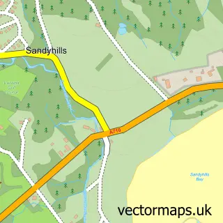
Nearby street map samples around Auchencairn


More street maps in The Stewartry of Kirkcudbright
750 metre map area coverage
Boundary, postcode and point of interest information for the 750m x 750m rectangle centred on this sample map.
Boundaries containing map centre
Constituency: Dumfries and Galloway Co Const
District: Dumfries and Galloway
Icb: Dumfries and Galloway
Postcode District: DG7
Postcode Sector: DG7 1
Ward: Dee and Glenkens Ward
Nearby boundaries intersecting sample
No additional intersecting boundaries found.
Postcode coverage
POI category counts
Post Office: 2
Automotive: 1
Automotive Repair: 1
Beverage Store: 1
Catholic Church: 1
Day Care Preschool: 1
Holiday Rental Home: 1
Landmark And Historical Building: 1
Naturopathic Holistic: 1
Shipping Center: 1
Sample points of interest
- Auchencairn Garage
- Auchencairn Garage
- The Old Smugglers Inn
- the Bengairn Parishes
- Auchencairn Scruffs Childminding and Early learning childcare
- The Corn Mill Studio
- Dundrennan Abbey
- Galloway Holistic Retreats
- Auchencairn Post Office
- Auchencairn Stores
- Post Office-Auchencairn
Create a larger editable map of Auchencairn
This sample shows only a 750 metre area. To create a larger map of Auchencairn, use our map builder to choose your own coverage area, add titles and download editable SVG, PDF and PNG files.
Create a custom map of Auchencairn