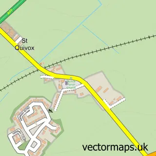
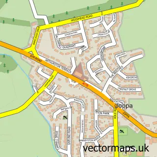
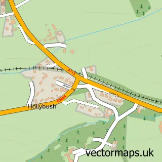
This Ayr street map is a detailed vector street map covering a 750m x 750m area. Select a larger area to create and download your own vector street map of Ayr.
The 750-metre map sample for Ayr covers 179 mapped buildings and approximately 20.0 km of road detail, of which 53 named roads are named. The immediate area includes 4 GP surgeries, with 8 within 2 miles, 16 pubs and 1 MOT station, with 30 within 2 miles. The wider area around Ayr features 5 tourism points of interest, 64 food and drink venues and 9 hotels. To create a larger or custom map of Ayr, the map builder lets you define your own coverage area and download editable SVG, PDF and PNG files.
Create a larger editable map of Ayr
Choose any area you need and generate a high-quality vector map instantly. Perfect for print, planning, design, business and personal use.

This Ayr street map in Ayrshire and Arran is available as downloadable SVG, PDF and PNG map files, or as a printed map for planning, business, display, education, local information and design work. You can also create a larger custom map area using the map selector.
What this Ayr map sample shows
Ayr lies within South Ayrshire parish, part of Ayr North ward in the South Ayrshire local authority area. The postcode geography for this area includes the KA postcode area, the KA8 postcode district and the KA8 0 postcode sector. Residents fall under the Ayrshire And Arran for NHS services.
Local features near Ayr
Within 2 milesAmenities and services in and around Ayr.
Administrative and postcode information for Ayr
The local authority covering Ayr is South Ayrshire, within the county of Ayrshire And Arran. The settlement lies within Ayr North ward and South Ayrshire civil parish. The KA8 postcode district and KA8 0 postcode sector serve the immediate area. NHS provision in the area is delivered through Ayrshire And Arran.
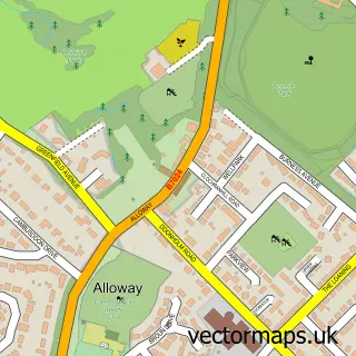
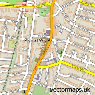
Nearby street map samples around Ayr

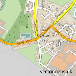
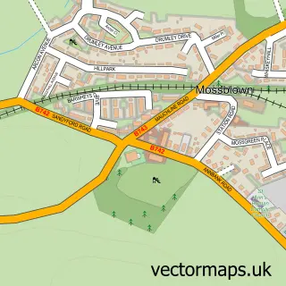
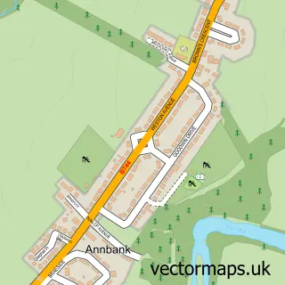
More street maps in Ayrshire and Arran
750 metre map area coverage
Boundary, postcode and point of interest information for the 750m x 750m rectangle centred on this sample map.
Boundaries containing map centre
Constituency: Ayr, Carrick and Cumnock Co Const
District: South Ayrshire
Icb: Ayrshire and Arran
Postcode District: KA7
Postcode Sector: KA7 1
Ward: Ayr West Ward
Nearby boundaries intersecting sample
Postcode District: KA8
Postcode Sector: KA7 2, KA7 3, KA8 0, KA8 8
Ward: Ayr North Ward
Postcode coverage
POI category counts
Beauty Salon: 48
Clothing Store: 29
Hair Salon: 22
Cafe: 20
Jewelry Store: 19
Beauty And Spa: 17
Pub: 16
Tattoo And Piercing: 16
Coffee Shop: 15
Barber: 13
Sample points of interest
- Calder Accounting
- Galbraith Pritchard Chartered Accountants
- J B Colvan & Partners Accountants
- McKinnon & Co
- Art Of Acupuncture
- Advertisingworks Scotland
- Adworks
- Artista
- Daydream Digital
- Daydream Digital
- Posterplus Ltd
- Wood Group
Create a larger editable map of Ayr
This sample shows only a 750 metre area. To create a larger map of Ayr, use our map builder to choose your own coverage area, add titles and download editable SVG, PDF and PNG files.
Create a custom map of Ayr