Vector Maps logo
Home Why it works Popular maps Districts Samples Customizer Create Your Map
VectorMaps.uk
Home Popular maps Districts Samples Customizer Create Your Map Privacy Disclaimer
Home / UK Maps / Berwickshire / Ayton Map

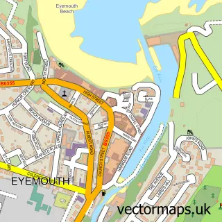
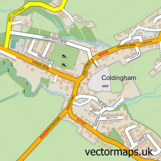
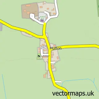
This Ayton street map is a detailed vector street map covering a 750m x 750m area. Select a larger area to create and download your own vector street map of Ayton.

Ayton is a village in Berwickshire, in the South Scotland of Scotland. The settlement falls within the Berwickshire, Roxburgh And Selkirk parliamentary constituency. It is served by the TD14 postcode district, with TD14 5 as the local postcode sector.

The 750-metre map sample for Ayton covers 200 mapped buildings and approximately 13.5 km of road detail, of which 8 named roads are named. The immediate area includes 1 MOT station within 2 miles. To create a larger or custom map of Ayton, the map builder lets you define your own coverage area and download editable SVG, PDF and PNG files.

200Buildings
13.51 kmRoads
8Named roads
0Residents within 2 miles
Create your own

Create a larger editable map of Ayton

Choose any area you need and generate a high-quality vector map instantly. Perfect for print, planning, design, business and personal use.

Choose any location
Editable SVG files
Any size up to A0
PDF, PNG & more
Instant download
High quality guaranteed
Create My Custom Map
Secure, private & no credit card required
Ayton Vector Street Map
750m Sample
Ayton vector street map sample showing roads, buildings and local features in a 750 metre preview area
Buy Ayton Map Print from £12.95 Buy Ayton Digital Map from £6

This Ayton street map in Berwickshire is available as downloadable SVG, PDF and PNG map files, or as a printed map for planning, business, display, education, local information and design work. You can also create a larger custom map area using the map selector.

What this Ayton map sample shows

Ayton lies within Scottish Borders parish, part of East Berwickshire ward in the Scottish Borders local authority area. The postcode geography for this area includes the TD postcode area, the TD14 postcode district and the TD14 5 postcode sector. Residents fall under the Borders for NHS services.

Local features near Ayton

Within 2 miles

Amenities and services in and around Ayton.

1 MOT stations within 2 miles

Counts are approximate and based on publicly available data.

Administrative and postcode information for Ayton

Ayton lies within Scottish Borders parish, part of East Berwickshire ward in the Scottish Borders local authority area. The postcode geography for this area includes the TD postcode area, the TD14 postcode district and the TD14 5 postcode sector. Residents fall under the Borders for NHS services.

Parish SCOTTISH BORDERS
Ward East Berwickshire
District / local authority Scottish Borders
County Berwickshire
Historic county Berwickshire
Postcode district TD14
Postcode sector TD14 5
Parliamentary constituency Berwickshire, Roxburgh and Selkirk
Region South Scotland
Country Scotland

Nearby street map samples around Ayton

Street map sample of Eyemouth, Berwickshire Eyemouth Town - Berwickshire - 2.4 miles Street map sample of Edinburgh, City of Edinburgh Edinburgh City - City of Edinburgh - 42.0 miles Street map sample of Burnmouth, Berwickshire Burnmouth Village - Berwickshire - 1.9 miles Street map sample of Reston, Berwickshire Reston Village - Berwickshire - 2.7 miles Street map sample of Foulden, Berwickshire Foulden Village - Berwickshire - 3.3 miles Street map sample of Coldingham, Berwickshire Coldingham Village - Berwickshire - 3.3 miles Street map sample of St Abbs, Berwickshire St Abbs Village - Berwickshire - 3.9 miles Street map sample of Chirnside, Berwickshire Chirnside Village - Berwickshire - 4.4 miles Street map sample of Auchencrow, Berwickshire Auchencrow Village - Berwickshire - 4.5 miles Street map sample of Hutton, Berwickshire Hutton Village - Berwickshire - 4.6 miles

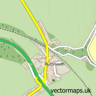
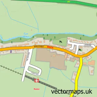
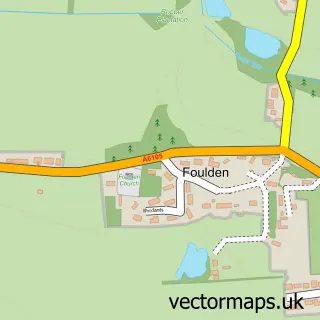
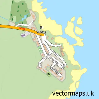
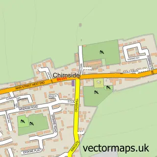
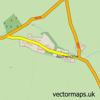
More street maps in Berwickshire

Street map sample of Burnmouth, Berwickshire Burnmouth Village - 1.9 miles Street map sample of Eyemouth, Berwickshire Eyemouth Town - 2.4 miles Street map sample of Reston, Berwickshire Reston Village - 2.7 miles Street map sample of Foulden, Berwickshire Foulden Village - 3.3 miles Street map sample of Coldingham, Berwickshire Coldingham Village - 3.3 miles

750 metre map area coverage

Boundary, postcode and point of interest information for the 750m x 750m rectangle centred on this sample map.

Boundaries containing map centre

Constituency: Berwickshire, Roxburgh and Selkirk Co Const

District: Scottish Borders

Icb: Borders

Postcode District: TD14

Postcode Sector: TD14 5

Ward: East Berwickshire Ward

Nearby boundaries intersecting sample

No additional intersecting boundaries found.

Postcode coverage

TD14 TD14 5

POI category counts

Convenience Store: 2

Animal Shelter: 1

Banks: 1

Beer Bar: 1

Church Cathedral: 1

Elementary School: 1

Korean Grocery Store: 1

Pet Store: 1

Pop Up Shop: 1

Post Office: 1

Sample points of interest

  • Jess's dog hotel Animal Shelter
  • Royal Bank of Scotland Banks
  • Hemelvaart Bier Cafe Beer Bar
  • Ayton Parish Church Church Cathedral
  • Ayton Mini Market, Best-one Convenience Store
  • Ayton Village Store Convenience Store
  • Ayton Primary School Elementary School
  • Londis Korean Grocery Store
  • Q's Cat Motel Pet Store
  • Eyemouth Pop-Up Shop Pop Up Shop
  • Ayton Post Office Post Office
  • Imperial Miniatures Retail

Create a larger editable map of Ayton

This sample shows only a 750 metre area. To create a larger map of Ayton, use our map builder to choose your own coverage area, add titles and download editable SVG, PDF and PNG files.

Create a custom map of Ayton

Phone 01751 473136 | Copyright Vectormaps.uk 2026

Samples Customizer Privacy Disclaimer
Ayton Vector Street Map
Ayton enlarged street map sample showing a 750 metre preview area