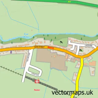
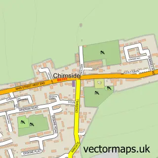
This Eyemouth street map is a detailed vector street map covering a 750m x 750m area. Select a larger area to create and download your own vector street map of Eyemouth.
The 750-metre map sample for Eyemouth covers 288 mapped buildings and approximately 19.1 km of road detail, of which 42 named roads are named. The immediate area includes 1 GP surgery, 2 pubs and 1 MOT station, with 3 within 2 miles. The wider area around Eyemouth features 8 tourism points of interest, 10 food and drink venues and 8 hotels. To create a larger or custom map of Eyemouth, the map builder lets you define your own coverage area and download editable SVG, PDF and PNG files.
Create a larger editable map of Eyemouth
Choose any area you need and generate a high-quality vector map instantly. Perfect for print, planning, design, business and personal use.

This Eyemouth street map in Berwickshire is available as downloadable SVG, PDF and PNG map files, or as a printed map for planning, business, display, education, local information and design work. You can also create a larger custom map area using the map selector.
What this Eyemouth map sample shows
Eyemouth lies within Scottish Borders parish, part of East Berwickshire ward in the Scottish Borders local authority area. The postcode geography for this area includes the TD postcode area, the TD14 postcode district and the TD14 5 postcode sector. Residents fall under the Borders for NHS services.
Local features near Eyemouth
Within 2 milesAmenities and services in and around Eyemouth.
Administrative and postcode information for Eyemouth
Eyemouth lies within Scottish Borders parish, part of East Berwickshire ward in the Scottish Borders local authority area. The postcode geography for this area includes the TD postcode area, the TD14 postcode district and the TD14 5 postcode sector. Residents fall under the Borders for NHS services.
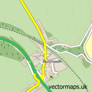
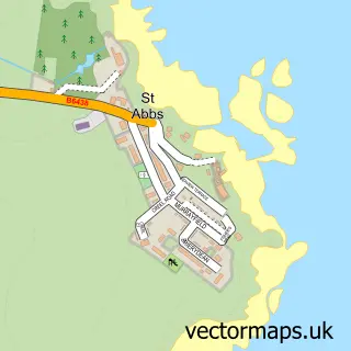
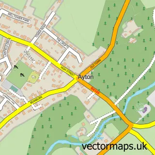
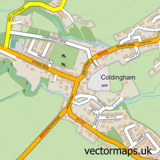
Nearby street map samples around Eyemouth

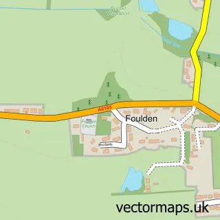
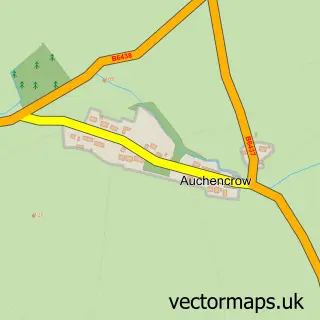
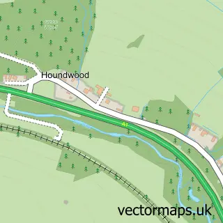
More street maps in Berwickshire
750 metre map area coverage
Boundary, postcode and point of interest information for the 750m x 750m rectangle centred on this sample map.
Boundaries containing map centre
Constituency: Berwickshire, Roxburgh and Selkirk Co Const
District: Scottish Borders
Icb: Borders
Postcode District: TD14
Postcode Sector: TD14 5
Ward: East Berwickshire Ward
Nearby boundaries intersecting sample
No additional intersecting boundaries found.
Postcode coverage
POI category counts
Bed And Breakfast: 7
Hotel: 6
Restaurant: 5
Bar: 4
Beauty Salon: 4
Holiday Rental Home: 4
Landmark And Historical Building: 4
Charity Organization: 3
Church Cathedral: 3
Convenience Store: 3
Sample points of interest
- Ridley's Place - Eyemouth
- Upper Deck Holiday apartment Eyemouth
- Gibson and Company
- RNLI Eyemouth Lifeboat Station
- J & L Leisure
- Beachcomber Amusements
- Bain Swan Architects LLP
- Fineart Images Gallery
- A Coates Sewing Machine Unit
- ReTweed
- The Cooperative Food Eyemouth (SWAP), Dicksons Yard
- Finlay's
Create a larger editable map of Eyemouth
This sample shows only a 750 metre area. To create a larger map of Eyemouth, use our map builder to choose your own coverage area, add titles and download editable SVG, PDF and PNG files.
Create a custom map of Eyemouth