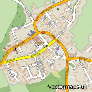
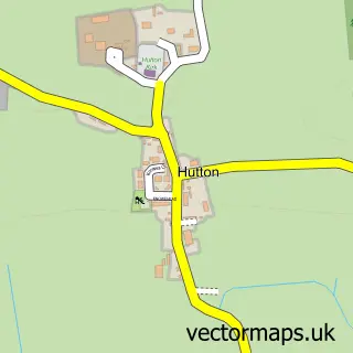
This Chirnside street map is a detailed vector street map covering a 750m x 750m area. Select a larger area to create and download your own vector street map of Chirnside.
The 750-metre map sample for Chirnside covers 218 mapped buildings and approximately 7.7 km of road detail, of which 21 named roads are named. The immediate area includes 1 pub and 2 MOT stations within 2 miles. The wider area around Chirnside features 2 food and drink venues and 1 hotel. To create a larger or custom map of Chirnside, the map builder lets you define your own coverage area and download editable SVG, PDF and PNG files.
Create a larger editable map of Chirnside
Choose any area you need and generate a high-quality vector map instantly. Perfect for print, planning, design, business and personal use.

This Chirnside street map in Berwickshire is available as downloadable SVG, PDF and PNG map files, or as a printed map for planning, business, display, education, local information and design work. You can also create a larger custom map area using the map selector.
What this Chirnside map sample shows
Chirnside lies within Scottish Borders parish, part of East Berwickshire ward in the Scottish Borders local authority area. The postcode geography for this area includes the TD postcode area, the TD11 postcode district and the TD11 3 postcode sector. Residents fall under the Borders for NHS services.
Local features near Chirnside
Within 2 milesAmenities and services in and around Chirnside.
Administrative and postcode information for Chirnside
Chirnside lies within Scottish Borders parish, part of East Berwickshire ward in the Scottish Borders local authority area. The postcode geography for this area includes the TD postcode area, the TD11 postcode district and the TD11 3 postcode sector. Residents fall under the Borders for NHS services.
Nearby street map samples around Chirnside

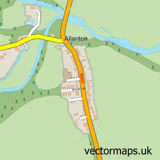
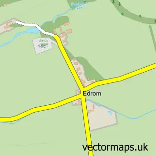
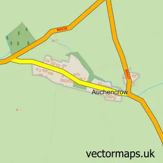
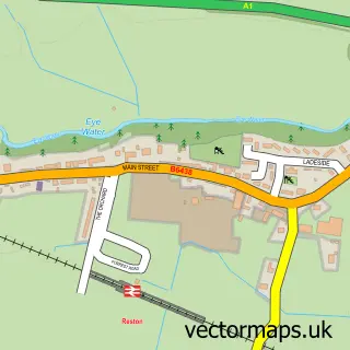
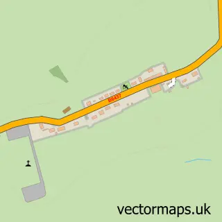
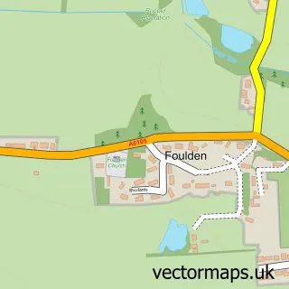
More street maps in Berwickshire
750 metre map area coverage
Boundary, postcode and point of interest information for the 750m x 750m rectangle centred on this sample map.
Boundaries containing map centre
Constituency: Berwickshire, Roxburgh and Selkirk Co Const
District: Scottish Borders
Icb: Borders
Postcode District: TD11
Postcode Sector: TD11 3
Ward: East Berwickshire Ward
Nearby boundaries intersecting sample
No additional intersecting boundaries found.
Postcode coverage
POI category counts
Convenience Store: 3
Automotive Repair: 2
Accountant: 1
Arts And Crafts: 1
Arts And Entertainment: 1
Atms: 1
Banks: 1
Bowling Alley: 1
Butcher Shop: 1
Cabin: 1
Sample points of interest
- RDS Bookkeeping
- Braw Buckets
- Naiara Milioli
- The Cooperative Food (BF) Chirnside (SWAP), Chirnside
- G.j.s valeting & mechanical services
- Millar's Autos
- The Royal Bank of Scotland
- Chirnside Bowling Club
- C J Purvis
- Old Farm Holiday Cottages
- Chain Bridge Honey Farm Bus Café
- Chirnside w Hutton, Fishwick and Paxton
Create a larger editable map of Chirnside
This sample shows only a 750 metre area. To create a larger map of Chirnside, use our map builder to choose your own coverage area, add titles and download editable SVG, PDF and PNG files.
Create a custom map of Chirnside