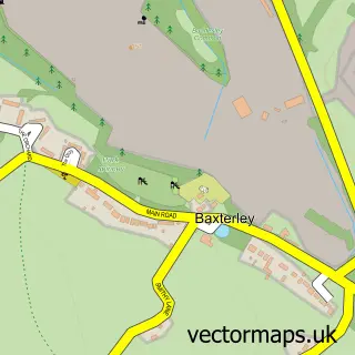
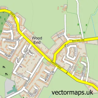
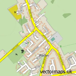
This Baddesley Ensor street map is a detailed vector street map covering a 750m x 750m area. Select a larger area to create and download your own vector street map of Baddesley Ensor.
The 750-metre map sample for Baddesley Ensor covers 239 mapped buildings and approximately 24.3 km of road detail, of which 20 named roads are named. The immediate area includes 1 GP surgery within 2 miles and 2 MOT stations within 2 miles. To create a larger or custom map of Baddesley Ensor, the map builder lets you define your own coverage area and download editable SVG, PDF and PNG files.
Create a larger editable map of Baddesley Ensor
Choose any area you need and generate a high-quality vector map instantly. Perfect for print, planning, design, business and personal use.

This Baddesley Ensor street map in Warwickshire is available as downloadable SVG, PDF and PNG map files, or as a printed map for planning, business, display, education, local information and design work. You can also create a larger custom map area using the map selector.
What this Baddesley Ensor map sample shows
Baddesley Ensor lies within Grendon Cp parish, part of Baddesley And Grendon ward in the North Warwickshire District (B) local authority area. The postcode geography for this area includes the CV postcode area, the CV9 postcode district and the CV9 2 postcode sector. Residents fall under the Nhs Coventry And Warwickshire Integrated Care Board for NHS services.
Local features near Baddesley Ensor
Within 2 milesAmenities and services in and around Baddesley Ensor.
Administrative and postcode information for Baddesley Ensor
The local authority covering Baddesley Ensor is North Warwickshire District (B), within the county of Warwickshire. The settlement lies within Baddesley And Grendon ward and Grendon Cp civil parish. The CV9 postcode district and CV9 2 postcode sector serve the immediate area. NHS provision in the area is delivered through George Eliot Hospital Nhs Trust.
Nearby street map samples around Baddesley Ensor
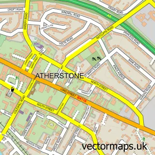

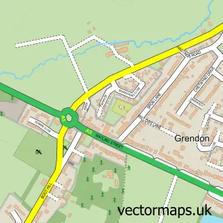
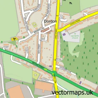
More street maps in Warwickshire
750 metre map area coverage
Boundary, postcode and point of interest information for the 750m x 750m rectangle centred on this sample map.
Boundaries containing map centre
Constituency: North Warwickshire and Bedworth Co Const
County: Warwickshire County
District: North Warwickshire District (B)
Icb: NHS Coventry and Warwickshire ICB
Parish: Baddesley Ensor CP
Police Force: warwickshire
Postcode District: CV9
Postcode Sector: CV9 2
Ward: Baddesley and Grendon Ward
Nearby boundaries intersecting sample
Parish: Grendon CP
Postcode coverage
POI category counts
Convenience Store: 3
Printing Services: 2
Anglican Church: 1
Atms: 1
Bakery: 1
Barber: 1
Bed And Breakfast: 1
Bridal Shop: 1
British Restaurant: 1
Building Supply Store: 1
Sample points of interest
- St Nicholas
- Baddesley Stores (Protected), Baddesley Ensor
- W.H Gayton & Sons
- Baddesley Barbers
- The Malt House B & B
- Enchanted Dresses and Venue Decor
- Baddesley Fish Bar
- Dalton Plastering Ltd
- St Nicolas Church Baddesley Ensor
- Baddesley Minder
- Post Office-Baddesley Ensor
- Premier
Create a larger editable map of Baddesley Ensor
This sample shows only a 750 metre area. To create a larger map of Baddesley Ensor, use our map builder to choose your own coverage area, add titles and download editable SVG, PDF and PNG files.
Create a custom map of Baddesley Ensor