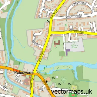
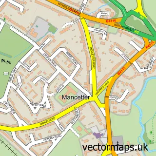
This Grendon street map is a detailed vector street map covering a 750m x 750m area. Select a larger area to create and download your own vector street map of Grendon.
The 750-metre map sample for Grendon covers 297 mapped buildings and approximately 21.4 km of road detail, of which 10 named roads are named. The immediate area includes 1 GP surgery within 2 miles and 2 MOT stations within 2 miles. The wider area around Grendon features 2 tourism points of interest and 4 food and drink venues. To create a larger or custom map of Grendon, the map builder lets you define your own coverage area and download editable SVG, PDF and PNG files.
Create a larger editable map of Grendon
Choose any area you need and generate a high-quality vector map instantly. Perfect for print, planning, design, business and personal use.

This Grendon street map in Warwickshire is available as downloadable SVG, PDF and PNG map files, or as a printed map for planning, business, display, education, local information and design work. You can also create a larger custom map area using the map selector.
What this Grendon map sample shows
Grendon lies within Grendon Cp parish, part of Baddesley And Grendon ward in the North Warwickshire District (B) local authority area. The postcode geography for this area includes the CV postcode area, the CV9 postcode district and the CV9 2 postcode sector. Residents fall under the Nhs Coventry And Warwickshire Integrated Care Board for NHS services.
Local features near Grendon
Within 2 milesAmenities and services in and around Grendon.
Administrative and postcode information for Grendon
Grendon lies within Grendon Cp parish, part of Baddesley And Grendon ward in the North Warwickshire District (B) local authority area. The postcode geography for this area includes the CV postcode area, the CV9 postcode district and the CV9 2 postcode sector. Residents fall under the Nhs Coventry And Warwickshire Integrated Care Board for NHS services.
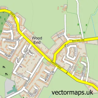
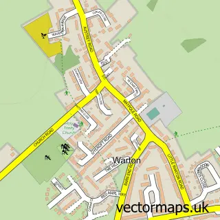
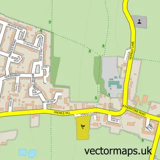
Nearby street map samples around Grendon

More street maps in Warwickshire
750 metre map area coverage
Boundary, postcode and point of interest information for the 750m x 750m rectangle centred on this sample map.
Boundaries containing map centre
Constituency: North Warwickshire and Bedworth Co Const
County: Warwickshire County
District: North Warwickshire District (B)
Icb: NHS Coventry and Warwickshire ICB
Parish: Grendon CP
Police Force: warwickshire
Postcode District: CV9
Postcode Sector: CV9 2
Ward: Baddesley and Grendon Ward
Nearby boundaries intersecting sample
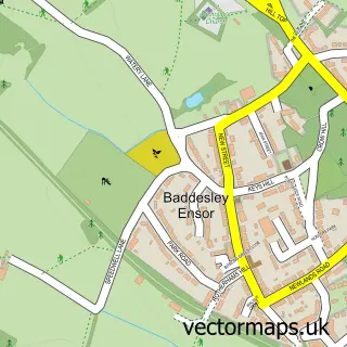
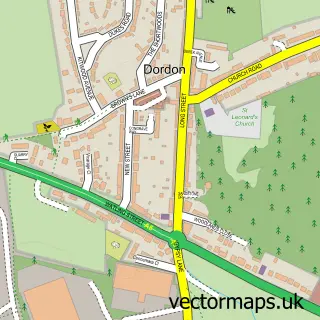
Parish: Baddesley Ensor CP, Dordon CP
Postcode District: B78
Postcode Sector: B78 1
Ward: Dordon Ward
Postcode coverage
POI category counts
Coffee Shop: 3
Accommodation: 1
Amateur Sports Team: 1
Automotive Repair: 1
Cafe: 1
Candy Store: 1
Carpenter: 1
Contractor: 1
Convenience Store: 1
Electronics: 1
Sample points of interest
- Saliba Heights
- Grendon Football Club
- Paul's Motors
- Harry Hedgehog's Fun Factory
- Lisa's Sweet Treats
- Neal Pallett Carpenter & Joiner
- Atherstone GrendonDT
- Costa Coffee
- Costa Coffee
- Midland Chasing Limited
- Co-Op Food
- Grendon Audio Visual
Create a larger editable map of Grendon
This sample shows only a 750 metre area. To create a larger map of Grendon, use our map builder to choose your own coverage area, add titles and download editable SVG, PDF and PNG files.
Create a custom map of Grendon