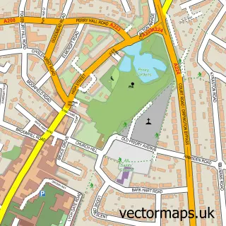
This Badger's Mount street map is a detailed vector street map covering a 750m x 750m area. Select a larger area to create and download your own vector street map of Badger's Mount.
The 750-metre map sample for Badger's Mount covers 175 mapped buildings and approximately 7.5 km of road detail, of which 11 named roads are named. The immediate area includes 5 MOT stations within 2 miles. The wider area around Badger's Mount features 1 tourism point of interest. To create a larger or custom map of Badger's Mount, the map builder lets you define your own coverage area and download editable SVG, PDF and PNG files.
Create a larger editable map of Badger's Mount
Choose any area you need and generate a high-quality vector map instantly. Perfect for print, planning, design, business and personal use.

This Badger's Mount street map in Kent is available as downloadable SVG, PDF and PNG map files, or as a printed map for planning, business, display, education, local information and design work. You can also create a larger custom map area using the map selector.
What this Badger's Mount map sample shows
Badger's Mount lies within Badgers Mount Cp parish, part of Halstead, Knockholt And Badgers Mount ward in the Sevenoaks District local authority area. The postcode geography for this area includes the TN postcode area, the TN14 postcode district and the TN14 7 postcode sector. Residents fall under the Nhs Kent And Medway Integrated Care Board for NHS services.
Local features near Badger's Mount
Within 2 milesAmenities and services in and around Badger's Mount.
Administrative and postcode information for Badger's Mount
Badger's Mount lies within Badgers Mount Cp parish, part of Halstead, Knockholt And Badgers Mount ward in the Sevenoaks District local authority area. The postcode geography for this area includes the TN postcode area, the TN14 postcode district and the TN14 7 postcode sector. Residents fall under the Nhs Kent And Medway Integrated Care Board for NHS services.
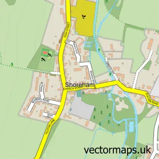
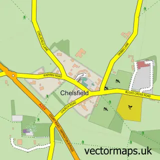
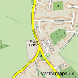
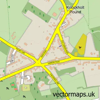
Nearby street map samples around Badger's Mount


More street maps in Kent
750 metre map area coverage
Boundary, postcode and point of interest information for the 750m x 750m rectangle centred on this sample map.
Boundaries containing map centre
Constituency: Sevenoaks Co Const
County: Kent County
District: Sevenoaks District
Icb: NHS Kent and Medway ICB
Parish: Badgers Mount CP
Police Force: kent
Postcode District: TN14
Postcode Sector: TN14 7
Ward: Halstead, Knockholt and Badgers Mount Ward
Nearby boundaries intersecting sample
Parish: Halstead CP
Postcode coverage
POI category counts
Advertising Agency: 1
Bathroom Remodeling: 1
Car Wash: 1
Carpenter: 1
Caterer: 1
Construction Services: 1
Contractor: 1
Grocery Store: 1
Hvac Services: 1
Landmark And Historical Building: 1
Sample points of interest
- Bluebadger
- Classic Bathrooms
- D&R Hand Car Wash - Badgers Mount
- Coutts Joinery
- Clare's Cuisine
- Byrne Builders Ltd
- G I Thompson
- British Wholesale Fruit & Vegetable Supplies
- Commercial Hydronic Systems
- Badgers Mount
- BlueBadger Marketing Ltd
- Dapper Dogs Grooming Parlour
Create a larger editable map of Badger's Mount
This sample shows only a 750 metre area. To create a larger map of Badger's Mount, use our map builder to choose your own coverage area, add titles and download editable SVG, PDF and PNG files.
Create a custom map of Badger's Mount