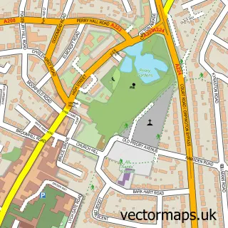
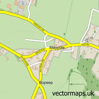
This Halstead street map is a detailed vector street map covering a 750m x 750m area. Select a larger area to create and download your own vector street map of Halstead.
The 750-metre map sample for Halstead covers 185 mapped buildings and approximately 8.3 km of road detail, of which 9 named roads are named. The immediate area includes 1 school, 3 pubs and 4 MOT stations within 2 miles. The wider area around Halstead features 3 food and drink venues. To create a larger or custom map of Halstead, the map builder lets you define your own coverage area and download editable SVG, PDF and PNG files.
Create a larger editable map of Halstead
Choose any area you need and generate a high-quality vector map instantly. Perfect for print, planning, design, business and personal use.

This Halstead street map in Kent is available as downloadable SVG, PDF and PNG map files, or as a printed map for planning, business, display, education, local information and design work. You can also create a larger custom map area using the map selector.
What this Halstead map sample shows
Halstead lies within Halstead Cp parish, part of Halstead, Knockholt And Badgers Mount ward in the Sevenoaks District local authority area. The postcode geography for this area includes the TN postcode area, the TN14 postcode district and the TN14 7 postcode sector. Residents fall under the Nhs Kent And Medway Integrated Care Board for NHS services.
Local features near Halstead
Within 2 milesAmenities and services in and around Halstead.
Administrative and postcode information for Halstead
Halstead lies within Halstead Cp parish, part of Halstead, Knockholt And Badgers Mount ward in the Sevenoaks District local authority area. The postcode geography for this area includes the TN postcode area, the TN14 postcode district and the TN14 7 postcode sector. Residents fall under the Nhs Kent And Medway Integrated Care Board for NHS services.
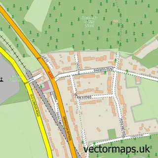
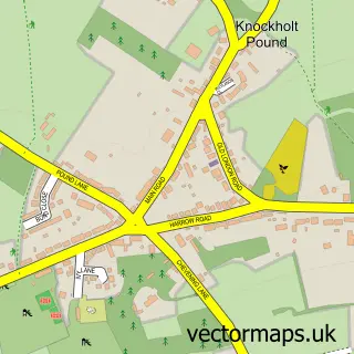
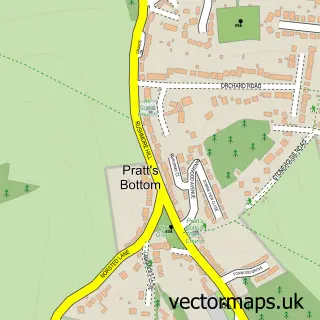
Nearby street map samples around Halstead


More street maps in Kent
750 metre map area coverage
Boundary, postcode and point of interest information for the 750m x 750m rectangle centred on this sample map.
Boundaries containing map centre
Constituency: Sevenoaks Co Const
County: Kent County
District: Sevenoaks District
Icb: NHS Kent and Medway ICB
Parish: Halstead CP
Police Force: kent
Postcode District: TN14
Postcode Sector: TN14 7
Ward: Halstead, Knockholt and Badgers Mount Ward
Nearby boundaries intersecting sample
No additional intersecting boundaries found.
Postcode coverage
POI category counts
Pub: 3
Building Supply Store: 2
Contractor: 2
Convenience Store: 2
Post Office: 2
Counseling And Mental Health: 1
Dance School: 1
Electrician: 1
Elementary School: 1
Event Planning: 1
Sample points of interest
- Eradica Pest Control
- Graffiti Management Ltd
- Oak Building Services
- Rosendale Builders
- Premier Hancocks
- Premier Premier Halstead High Street
- Raymond Stevens
- SP Dance.x
- ADS Electrical
- Halstead Community Primary School
- Halstead Village Hall
- Village Ironing
Create a larger editable map of Halstead
This sample shows only a 750 metre area. To create a larger map of Halstead, use our map builder to choose your own coverage area, add titles and download editable SVG, PDF and PNG files.
Create a custom map of Halstead