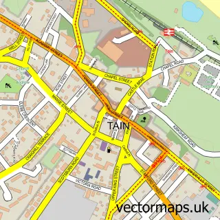
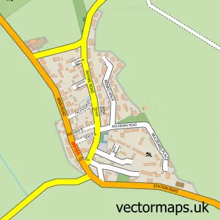
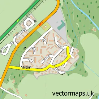
This Balintore street map is a detailed vector street map covering a 750m x 750m area. Select a larger area to create and download your own vector street map of Balintore.
The 750-metre map sample for Balintore covers 85 mapped buildings and approximately 11.2 km of road detail, of which 17 named roads are named. The immediate area includes 1 MOT station within 2 miles. To create a larger or custom map of Balintore, the map builder lets you define your own coverage area and download editable SVG, PDF and PNG files.
Create a larger editable map of Balintore
Choose any area you need and generate a high-quality vector map instantly. Perfect for print, planning, design, business and personal use.

This Balintore street map in Ross and Cromarty is available as downloadable SVG, PDF and PNG map files, or as a printed map for planning, business, display, education, local information and design work. You can also create a larger custom map area using the map selector.
What this Balintore map sample shows
Balintore lies within Highland parish, part of Tain And Easter Ross ward in the Highland local authority area. The postcode geography for this area includes the IV postcode area, the IV20 postcode district and the IV20 1 postcode sector. Residents fall under the Highland for NHS services.
Local features near Balintore
Within 2 milesAmenities and services in and around Balintore.
Administrative and postcode information for Balintore
Balintore lies within Highland parish, part of Tain And Easter Ross ward in the Highland local authority area. The postcode geography for this area includes the IV postcode area, the IV20 postcode district and the IV20 1 postcode sector. Residents fall under the Highland for NHS services.
Nearby street map samples around Balintore

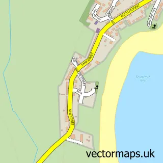
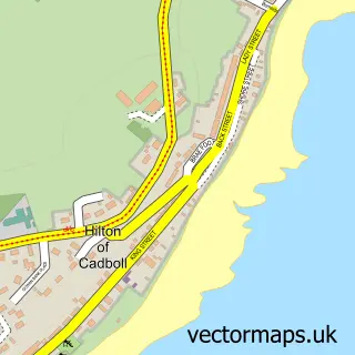
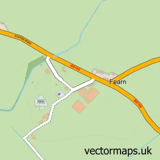
More street maps in Ross and Cromarty
750 metre map area coverage
Boundary, postcode and point of interest information for the 750m x 750m rectangle centred on this sample map.
Boundaries containing map centre
Constituency: Caithness, Sutherland and Easter Ross Co Const
District: Highland
Icb: Highland
Postcode District: IV20
Postcode Sector: IV20 1
Ward: Tain and Easter Ross Ward
Nearby boundaries intersecting sample
No additional intersecting boundaries found.
Postcode coverage
POI category counts
Holiday Rental Home: 2
Accommodation: 1
Convenience Store: 1
Inn: 1
Korean Grocery Store: 1
Marina: 1
Pharmacy: 1
Post Office: 1
Property Management: 1
School: 1
Sample points of interest
- Seaboard House
- SPAR Balintore
- 8 1/2 John Street, Balintore Holiday Cottage
- Kintail Cottage, Balintore Holiday Home
- Balintore Inn
- SPAR Bank Street
- Balintore Harbour and Marina
- Right Medicine Pharmacy
- Post Office (Main St Tain)
- Ross-shire Maintenance
- Hilton Of Cadboll Primary School
- The Oystercatcher
Create a larger editable map of Balintore
This sample shows only a 750 metre area. To create a larger map of Balintore, use our map builder to choose your own coverage area, add titles and download editable SVG, PDF and PNG files.
Create a custom map of Balintore