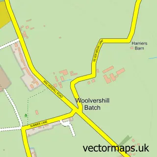
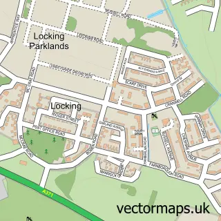
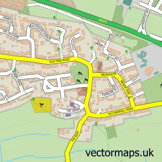
This Banwell street map is a detailed vector street map covering a 750m x 750m area. Select a larger area to create and download your own vector street map of Banwell.
The 750-metre map sample for Banwell covers 222 mapped buildings and approximately 11.0 km of road detail, of which 15 named roads are named. The immediate area includes 1 school, 1 GP surgery within 2 miles, 4 pubs and 4 MOT stations within 2 miles. The wider area around Banwell features 1 tourism point of interest, 5 food and drink venues and 2 campsites within 2 miles. To create a larger or custom map of Banwell, the map builder lets you define your own coverage area and download editable SVG, PDF and PNG files.
Create a larger editable map of Banwell
Choose any area you need and generate a high-quality vector map instantly. Perfect for print, planning, design, business and personal use.

This Banwell street map in Somerset is available as downloadable SVG, PDF and PNG map files, or as a printed map for planning, business, display, education, local information and design work. You can also create a larger custom map area using the map selector.
What this Banwell map sample shows
Banwell lies within Banwell Cp parish, part of Banwell & Winscombe ward in the North Somerset local authority area. The postcode geography for this area includes the BS postcode area, the BS29 postcode district and the BS29 6 postcode sector. Residents fall under the Nhs Bristol, North Somerset And South Gloucestershire Integrated Care Board for NHS services.
Local features near Banwell
Within 2 milesAmenities and services in and around Banwell.
Administrative and postcode information for Banwell
The local authority covering Banwell is North Somerset, within the county of Somerset. The settlement lies within Banwell & Winscombe ward and Banwell Cp civil parish. The BS29 postcode district and BS29 6 postcode sector serve the immediate area. NHS provision in the area is delivered through University Hospitals Bristol And Weston Nhs Foundation Trust.
Nearby street map samples around Banwell


More street maps in Somerset
750 metre map area coverage
Boundary, postcode and point of interest information for the 750m x 750m rectangle centred on this sample map.
Boundaries containing map centre
Constituency: Wells and Mendip Hills Co Const
District: North Somerset
Icb: NHS Bristol North Somerset and South Gloucestershire ICB
Parish: Banwell CP
Police Force: avon and somerset
Postcode District: BS29
Postcode Sector: BS29 6
Ward: Banwell & Winscombe Ward
Nearby boundaries intersecting sample
No additional intersecting boundaries found.
Postcode coverage
POI category counts
Pub: 4
Anglican Church: 2
Business To Business: 2
Preschool: 2
Professional Services: 2
Scout Hall: 2
Appliance Store: 1
Atms: 1
Automotive: 1
Automotive Repair: 1
Sample points of interest
- St Andrew's Church
- St Andrew's, Banwell
- Stuart Jack
- PayPoint
- Allan's MIG Welding Lessons
- DDSP Garage LTD
- Banwell barbers
- The Lamb
- Banwell Post Office
- Post Office
- Banwell Methodist Church
- Ditto Coffee and Barbers
Create a larger editable map of Banwell
This sample shows only a 750 metre area. To create a larger map of Banwell, use our map builder to choose your own coverage area, add titles and download editable SVG, PDF and PNG files.
Create a custom map of Banwell