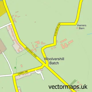
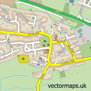
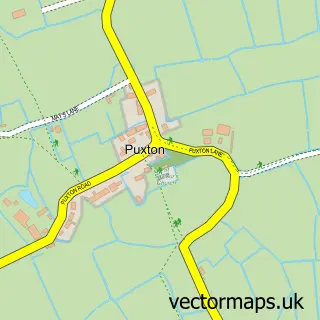
This Woolvers Hill street map is a detailed vector street map covering a 750m x 750m area. Select a larger area to create and download your own vector street map of Woolvers Hill.
The 750-metre map sample for Woolvers Hill covers 129 mapped buildings and approximately 7.6 km of road detail, of which 3 named roads are named. The immediate area includes 2 GP surgeries within 2 miles and 9 MOT stations within 2 miles. The wider area around Woolvers Hill features 2 campsites within 2 miles. To create a larger or custom map of Woolvers Hill, the map builder lets you define your own coverage area and download editable SVG, PDF and PNG files.
Create a larger editable map of Woolvers Hill
Choose any area you need and generate a high-quality vector map instantly. Perfect for print, planning, design, business and personal use.

This Woolvers Hill street map in Somerset is available as downloadable SVG, PDF and PNG map files, or as a printed map for planning, business, display, education, local information and design work. You can also create a larger custom map area using the map selector.
What this Woolvers Hill map sample shows
Woolvers Hill lies within St. Georges Cp parish, part of Wick St Lawrence & St Georges ward in the North Somerset local authority area. The postcode geography for this area includes the BS postcode area, the BS24 postcode district and the BS24 7 postcode sector. Residents fall under the Nhs Bristol, North Somerset And South Gloucestershire Integrated Care Board for NHS services.
Local features near Woolvers Hill
Within 2 milesAmenities and services in and around Woolvers Hill.
Administrative and postcode information for Woolvers Hill
Woolvers Hill lies within St. Georges Cp parish, part of Wick St Lawrence & St Georges ward in the North Somerset local authority area. The postcode geography for this area includes the BS postcode area, the BS24 postcode district and the BS24 7 postcode sector. Residents fall under the Nhs Bristol, North Somerset And South Gloucestershire Integrated Care Board for NHS services.
Nearby street map samples around Woolvers Hill

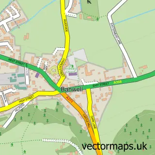
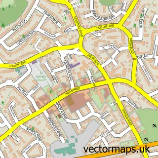
More street maps in Somerset
750 metre map area coverage
Boundary, postcode and point of interest information for the 750m x 750m rectangle centred on this sample map.
Boundaries containing map centre
Constituency: Wells and Mendip Hills Co Const
District: North Somerset
Icb: NHS Bristol North Somerset and South Gloucestershire ICB
Parish: Banwell CP
Police Force: avon and somerset
Postcode District: BS29
Postcode Sector: BS29 6
Ward: Banwell & Winscombe Ward
Nearby boundaries intersecting sample
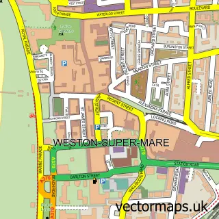
Constituency: Weston-Super-Mare Co Const
Parish: Weston-Super-Mare CP
Postcode District: BS24
Postcode Sector: BS24 7
Ward: Weston-super-Mare South Worle Ward
Postcode coverage
POI category counts
Automotive Repair: 3
Childrens Clothing Store: 1
Distribution Services: 1
Driving Range: 1
Escape Rooms: 1
Framing Store: 1
Gym: 1
Home Developer: 1
Monument: 1
Motorsports Store: 1
Sample points of interest
- RH Automotive
- Westhay Car Repairs Ltd
- Weston Wheel Alignment
- Contagious Club Wear
- Window And Door Service
- Weston Super Range
- Lock and Code Escape Rooms
- West Country Galleries
- Toogoods Fitness
- Bellway - Mead Fields
- Mendip Memorials
- One Day Motorsport
Create a larger editable map of Woolvers Hill
This sample shows only a 750 metre area. To create a larger map of Woolvers Hill, use our map builder to choose your own coverage area, add titles and download editable SVG, PDF and PNG files.
Create a custom map of Woolvers Hill