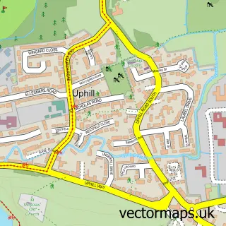
This Weston-super-Mare street map is a detailed vector street map covering a 750m x 750m area. Select a larger area to create and download your own vector street map of Weston-super-Mare.
The 750-metre map sample for Weston-super-Mare covers 180 mapped buildings and approximately 22.3 km of road detail, of which 57 named roads are named. The immediate area includes 1 school, 1 GP surgery, with 5 within 2 miles, 15 pubs and 25 MOT stations within 2 miles. The wider area around Weston-super-Mare features 11 tourism points of interest, 84 food and drink venues and 17 hotels. To create a larger or custom map of Weston-super-Mare, the map builder lets you define your own coverage area and download editable SVG, PDF and PNG files.
Create a larger editable map of Weston-super-Mare
Choose any area you need and generate a high-quality vector map instantly. Perfect for print, planning, design, business and personal use.

This Weston-super-Mare street map in Somerset is available as downloadable SVG, PDF and PNG map files, or as a printed map for planning, business, display, education, local information and design work. You can also create a larger custom map area using the map selector.
What this Weston-super-Mare map sample shows
Weston-super-Mare lies within Weston-Super-Mare Cp parish, part of Weston-Super-Mare Milton ward in the North Somerset local authority area. The postcode geography for this area includes the BS postcode area, the BS22 postcode district and the BS22 8 postcode sector. Residents fall under the Nhs Bristol, North Somerset And South Gloucestershire Integrated Care Board for NHS services.
Local features near Weston-super-Mare
Within 2 milesAmenities and services in and around Weston-super-Mare.
Administrative and postcode information for Weston-super-Mare
Weston-super-Mare lies within Weston-Super-Mare Cp parish, part of Weston-Super-Mare Milton ward in the North Somerset local authority area. The postcode geography for this area includes the BS postcode area, the BS22 postcode district and the BS22 8 postcode sector. Residents fall under the Nhs Bristol, North Somerset And South Gloucestershire Integrated Care Board for NHS services.
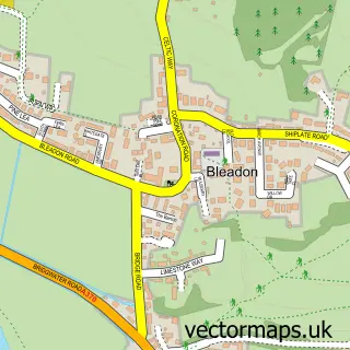
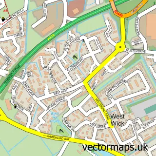
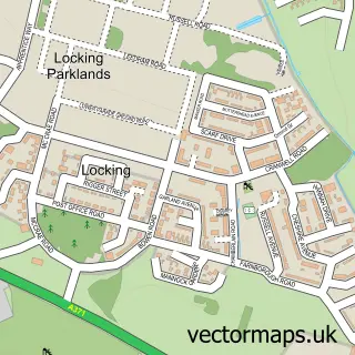
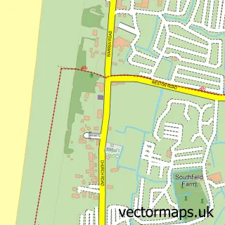
Nearby street map samples around Weston-super-Mare

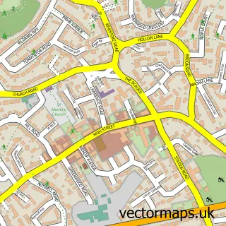
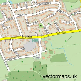
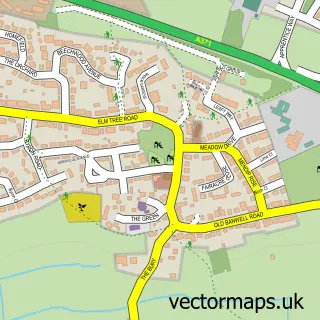
More street maps in Somerset
750 metre map area coverage
Boundary, postcode and point of interest information for the 750m x 750m rectangle centred on this sample map.
Boundaries containing map centre
Constituency: Weston-Super-Mare Co Const
District: North Somerset
Icb: NHS Bristol North Somerset and South Gloucestershire ICB
Parish: Weston-Super-Mare CP
Police Force: avon and somerset
Postcode District: BS23
Postcode Sector: BS23 1
Ward: Weston-super-Mare Central Ward
Nearby boundaries intersecting sample
Postcode Sector: BS23 2, BS23 3
Ward: Weston-super-Mare Hillside Ward
Postcode coverage
POI category counts
Cafe: 31
Bar: 30
Restaurant: 28
Clothing Store: 27
Hair Salon: 23
Beauty Salon: 22
Retail: 20
Barber: 19
Jewelry Store: 18
Hotel: 17
Sample points of interest
- Brooking Ruse
- Butterworth Jones Chartered Accountants
- Four Fifty Partnership
- LG Accountancy & Bookkeeping Ltd
- The Local Accountant
- Sanctuary Addiction & Alcohol Services
- Next Theme
- Phoenix Life Coaching
- Hollywoods American Themed Family Restaurant
- The Royal Sunset
- Golden Gate Amusements - Weston-Super-Mare
- Pirate Adventureland
Create a larger editable map of Weston-super-Mare
This sample shows only a 750 metre area. To create a larger map of Weston-super-Mare, use our map builder to choose your own coverage area, add titles and download editable SVG, PDF and PNG files.
Create a custom map of Weston-super-Mare