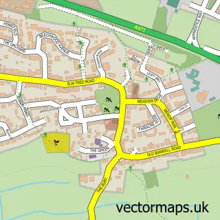
This Brean street map is a detailed vector street map covering a 750m x 750m area. Select a larger area to create and download your own vector street map of Brean.
The 750-metre map sample for Brean covers 83 mapped buildings and approximately 12.0 km of road detail, of which 4 named roads are named. The immediate area includes 1 pub. The wider area around Brean features 3 tourism points of interest, 4 food and drink venues and 2 hotels. To create a larger or custom map of Brean, the map builder lets you define your own coverage area and download editable SVG, PDF and PNG files.
Create a larger editable map of Brean
Choose any area you need and generate a high-quality vector map instantly. Perfect for print, planning, design, business and personal use.

This Brean street map in Somerset is available as downloadable SVG, PDF and PNG map files, or as a printed map for planning, business, display, education, local information and design work. You can also create a larger custom map area using the map selector.
What this Brean map sample shows
Brean lies within Brean Cp parish, part of Berrow ward in the Somerset local authority area. The postcode geography for this area includes the TA postcode area, the TA8 postcode district and the TA8 2 postcode sector. Residents fall under the Nhs Somerset Integrated Care Board for NHS services.
Local features near Brean
Within 2 milesAmenities and services in and around Brean.
Administrative and postcode information for Brean
The local authority covering Brean is Somerset, within the county of Somerset. The settlement lies within Berrow ward and Brean Cp civil parish. The TA8 postcode district and TA8 2 postcode sector serve the immediate area. NHS provision in the area is delivered through Somerset Nhs Foundation Trust.
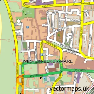
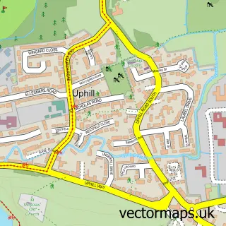
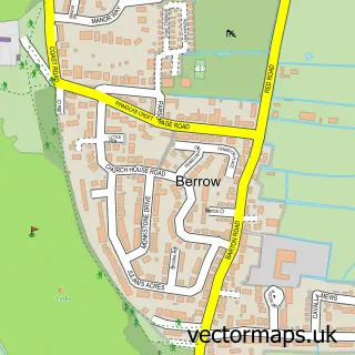
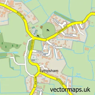
Nearby street map samples around Brean

More street maps in Somerset
750 metre map area coverage
Boundary, postcode and point of interest information for the 750m x 750m rectangle centred on this sample map.
Boundaries containing map centre
Constituency: Bridgwater Co Const
District: Somerset
Icb: NHS Somerset ICB
Parish: Brean CP
Police Force: avon and somerset
Postcode District: TA8
Postcode Sector: TA8 2
Nearby boundaries intersecting sample
No additional intersecting boundaries found.
Postcode coverage
POI category counts
Campground: 3
Church Cathedral: 2
Restaurant: 2
Retail: 2
Rv Park: 2
Automotive Repair: 1
Beauty Salon: 1
Bed And Breakfast: 1
Cafe: 1
Charity Organization: 1
Sample points of interest
- J Plimley & Son
- Morag Wood - Country Fair Beauty Salon - Brean, Somerset
- The Old Rectory
- Nesses Cafe
- Happy Days Caravan Site
- Somerset Leisure
- Warren Farm Holiday Centre
- Brean Village Hall
- Brean Methodist Church
- St Bridget's Church
- Premier Bunnies Convenience Store
- JT Angling
Create a larger editable map of Brean
This sample shows only a 750 metre area. To create a larger map of Brean, use our map builder to choose your own coverage area, add titles and download editable SVG, PDF and PNG files.
Create a custom map of Brean