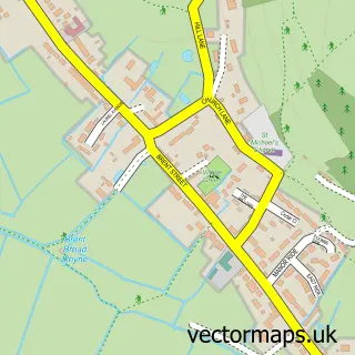
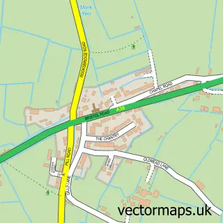
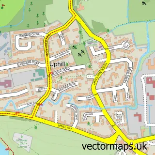
This Lympsham street map is a detailed vector street map covering a 750m x 750m area. Select a larger area to create and download your own vector street map of Lympsham.
The 750-metre map sample for Lympsham covers 182 mapped buildings and approximately 11.6 km of road detail, of which 12 named roads are named. The immediate area includes 1 school, 1 GP surgery within 2 miles and 4 MOT stations within 2 miles. The wider area around Lympsham features 1 tourism point of interest and 1 campsite within 2 miles. To create a larger or custom map of Lympsham, the map builder lets you define your own coverage area and download editable SVG, PDF and PNG files.
Create a larger editable map of Lympsham
Choose any area you need and generate a high-quality vector map instantly. Perfect for print, planning, design, business and personal use.

This Lympsham street map in Somerset is available as downloadable SVG, PDF and PNG map files, or as a printed map for planning, business, display, education, local information and design work. You can also create a larger custom map area using the map selector.
What this Lympsham map sample shows
Lympsham lies within Lympsham Cp parish, part of Knoll ward in the Somerset local authority area. The postcode geography for this area includes the BS postcode area, the BS24 postcode district and the BS24 0 postcode sector. Residents fall under the Nhs Somerset Integrated Care Board for NHS services.
Local features near Lympsham
Within 2 milesAmenities and services in and around Lympsham.
Administrative and postcode information for Lympsham
The local authority covering Lympsham is Somerset, within the county of Somerset. The settlement lies within Knoll ward and Lympsham Cp civil parish. The BS24 postcode district and BS24 0 postcode sector serve the immediate area. NHS provision in the area is delivered through Somerset Nhs Foundation Trust.
Nearby street map samples around Lympsham

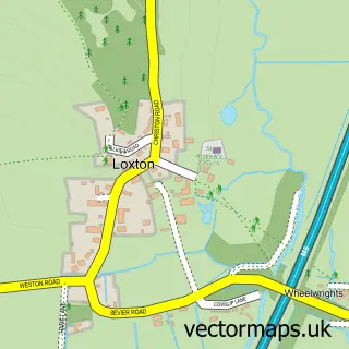
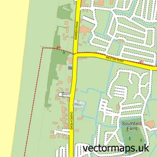
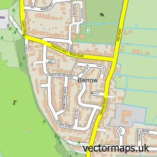
More street maps in Somerset
750 metre map area coverage
Boundary, postcode and point of interest information for the 750m x 750m rectangle centred on this sample map.
Boundaries containing map centre
Constituency: Wells and Mendip Hills Co Const
District: Somerset
Icb: NHS Somerset ICB
Parish: Lympsham CP
Police Force: avon and somerset
Postcode District: BS24
Postcode Sector: BS24 0
Nearby boundaries intersecting sample
No additional intersecting boundaries found.
Postcode coverage
POI category counts
Elementary School: 2
Hvac Services: 2
Anglican Church: 1
Campground: 1
Carpenter: 1
Church Cathedral: 1
Gardener: 1
Holiday Rental Home: 1
Horse Boarding: 1
Kids Recreation And Party: 1
Sample points of interest
- St Christopher
- Dulhorn Farm Holiday Park
- Spears Carpentry
- Lympsham St. Christopher Churchyard
- Lympsham C of E Voluntary Controlled First School
- Lympsham Church of England Academy
- B & P Garden Maintenance & Landscapes
- Willow Barn
- Lympsham Manor Livery Yard
- Colin Roche Plumber Boiler Repairs
- Free From V a T Boiler Repairs
- Perfect Murder
Create a larger editable map of Lympsham
This sample shows only a 750 metre area. To create a larger map of Lympsham, use our map builder to choose your own coverage area, add titles and download editable SVG, PDF and PNG files.
Create a custom map of Lympsham