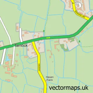
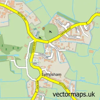
This Rooksbridge street map is a detailed vector street map covering a 750m x 750m area. Select a larger area to create and download your own vector street map of Rooksbridge.
The 750-metre map sample for Rooksbridge covers 138 mapped buildings and approximately 10.3 km of road detail, of which 10 named roads are named. The immediate area includes 1 GP surgery within 2 miles, 1 pub and 2 MOT stations within 2 miles. The wider area around Rooksbridge features 4 tourism points of interest, 1 food and drink venue and 1 campsite within 2 miles. To create a larger or custom map of Rooksbridge, the map builder lets you define your own coverage area and download editable SVG, PDF and PNG files.
Create a larger editable map of Rooksbridge
Choose any area you need and generate a high-quality vector map instantly. Perfect for print, planning, design, business and personal use.

This Rooksbridge street map in Somerset is available as downloadable SVG, PDF and PNG map files, or as a printed map for planning, business, display, education, local information and design work. You can also create a larger custom map area using the map selector.
What this Rooksbridge map sample shows
Rooksbridge lies within East Brent Cp parish, part of Knoll ward in the Somerset local authority area. The postcode geography for this area includes the BS postcode area, the BS26 postcode district and the BS26 2 postcode sector. Residents fall under the Nhs Somerset Integrated Care Board for NHS services.
Local features near Rooksbridge
Within 2 milesAmenities and services in and around Rooksbridge.
Administrative and postcode information for Rooksbridge
The local authority covering Rooksbridge is Somerset, within the county of Somerset. The settlement lies within Knoll ward and East Brent Cp civil parish. The BS26 postcode district and BS26 2 postcode sector serve the immediate area. NHS provision in the area is delivered through Somerset Nhs Foundation Trust.
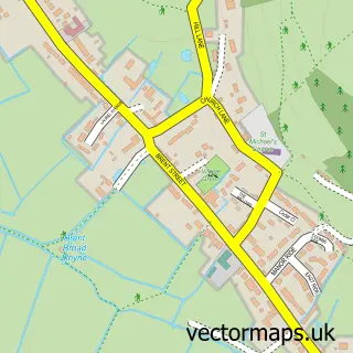
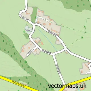
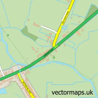
Nearby street map samples around Rooksbridge


More street maps in Somerset
750 metre map area coverage
Boundary, postcode and point of interest information for the 750m x 750m rectangle centred on this sample map.
Boundaries containing map centre
Constituency: Wells and Mendip Hills Co Const
District: Somerset
Icb: NHS Somerset ICB
Parish: East Brent CP
Police Force: avon and somerset
Postcode District: BS26
Postcode Sector: BS26 2
Nearby boundaries intersecting sample
Parish: Badgworth CP
Postcode coverage
POI category counts
Campground: 3
Beauty Salon: 2
Post Office: 2
Advertising Agency: 1
Auto Parts And Supply Store: 1
Automotive Repair: 1
Building Supply Store: 1
Car Rental Agency: 1
Landmark And Historical Building: 1
Nursery And Gardening: 1
Sample points of interest
- With Print
- Jaguar Specialist
- Swallows Independent Jaguar
- No.5 sports and beauty therapy
- The Beauty Snug
- Lee's Plumbing Services
- Acacia Farm Campsite
- Acacia Farm Campsite
- Campsites in UK
- The Bristol Camper Company
- Rooksbridge
- Coastal Succulents, Cacti and Alpines
Create a larger editable map of Rooksbridge
This sample shows only a 750 metre area. To create a larger map of Rooksbridge, use our map builder to choose your own coverage area, add titles and download editable SVG, PDF and PNG files.
Create a custom map of Rooksbridge