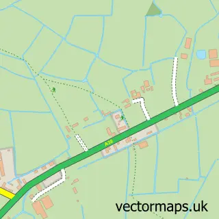
This Tarnock street map is a detailed vector street map covering a 750m x 750m area. Select a larger area to create and download your own vector street map of Tarnock.
The 750-metre map sample for Tarnock covers 98 mapped buildings and approximately 5.7 km of road detail, of which 3 named roads are named. The immediate area includes 2 MOT stations within 2 miles. The wider area around Tarnock features 1 campsite within 2 miles. To create a larger or custom map of Tarnock, the map builder lets you define your own coverage area and download editable SVG, PDF and PNG files.
Create a larger editable map of Tarnock
Choose any area you need and generate a high-quality vector map instantly. Perfect for print, planning, design, business and personal use.

This Tarnock street map in Somerset is available as downloadable SVG, PDF and PNG map files, or as a printed map for planning, business, display, education, local information and design work. You can also create a larger custom map area using the map selector.
What this Tarnock map sample shows
Tarnock lies within Badgworth Cp parish, part of Axevale ward in the Somerset local authority area. The postcode geography for this area includes the BS postcode area, the BS26 postcode district and the BS26 2 postcode sector. Residents fall under the Nhs Somerset Integrated Care Board for NHS services.
Local features near Tarnock
Within 2 milesAmenities and services in and around Tarnock.
Administrative and postcode information for Tarnock
Tarnock lies within Badgworth Cp parish, part of Axevale ward in the Somerset local authority area. The postcode geography for this area includes the BS postcode area, the BS26 postcode district and the BS26 2 postcode sector. Residents fall under the Nhs Somerset Integrated Care Board for NHS services.
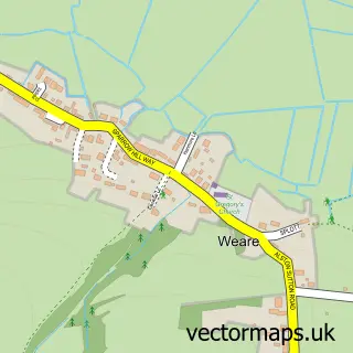
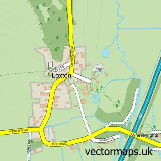
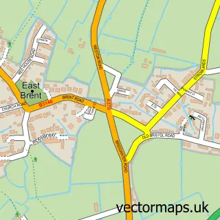
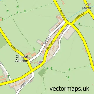
Nearby street map samples around Tarnock


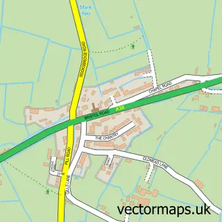
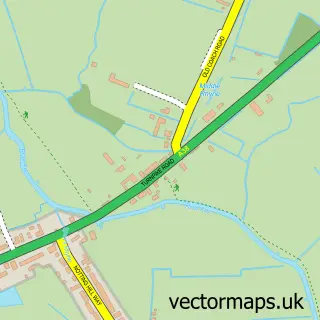
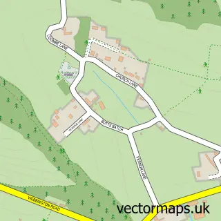
More street maps in Somerset
750 metre map area coverage
Boundary, postcode and point of interest information for the 750m x 750m rectangle centred on this sample map.
Boundaries containing map centre
Constituency: Wells and Mendip Hills Co Const
District: Somerset
Icb: NHS Somerset ICB
Parish: Badgworth CP
Police Force: avon and somerset
Postcode District: BS26
Postcode Sector: BS26 2
Nearby boundaries intersecting sample
No additional intersecting boundaries found.
Postcode coverage
POI category counts
Auto Customization: 1
Automotive Repair: 1
Car Dealer: 1
Day Care Preschool: 1
Farm: 1
Farmers Market: 1
Landscaping: 1
Pest Control Service: 1
Professional Services: 1
Transportation: 1
Sample points of interest
- Peng Remaps
- GG Autocare Ltd
- LTS Sports Cars
- Yew Tree Nursery
- Earthlight Garden
- The Ploughmans Farm Shop
- Perfect Pave Ltd
- IDM Environmental Services
- Yew Tree Nursery
- InVictor Transport
Create a larger editable map of Tarnock
This sample shows only a 750 metre area. To create a larger map of Tarnock, use our map builder to choose your own coverage area, add titles and download editable SVG, PDF and PNG files.
Create a custom map of Tarnock