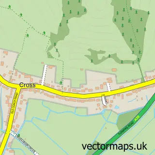
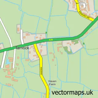
This Lower Weare street map is a detailed vector street map covering a 750m x 750m area. Select a larger area to create and download your own vector street map of Lower Weare.
The 750-metre map sample for Lower Weare covers 85 mapped buildings and approximately 7.1 km of road detail, of which 3 named roads are named. The immediate area includes 1 GP surgery within 2 miles, 1 pub and 1 MOT station, with 2 within 2 miles. The wider area around Lower Weare features 2 food and drink venues. To create a larger or custom map of Lower Weare, the map builder lets you define your own coverage area and download editable SVG, PDF and PNG files.
Create a larger editable map of Lower Weare
Choose any area you need and generate a high-quality vector map instantly. Perfect for print, planning, design, business and personal use.

This Lower Weare street map in Somerset is available as downloadable SVG, PDF and PNG map files, or as a printed map for planning, business, display, education, local information and design work. You can also create a larger custom map area using the map selector.
What this Lower Weare map sample shows
Lower Weare lies within Weare Cp parish, part of Axevale ward in the Somerset local authority area. The postcode geography for this area includes the BS postcode area, the BS26 postcode district and the BS26 2 postcode sector. Residents fall under the Nhs Somerset Integrated Care Board for NHS services.
Local features near Lower Weare
Within 2 milesAmenities and services in and around Lower Weare.
Administrative and postcode information for Lower Weare
The local authority covering Lower Weare is Somerset, within the county of Somerset. The settlement lies within Axevale ward and Weare Cp civil parish. The BS26 postcode district and BS26 2 postcode sector serve the immediate area. NHS provision in the area is delivered through University Hospitals Bristol And Weston Nhs Foundation Trust.
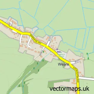
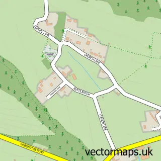
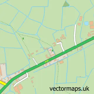
Nearby street map samples around Lower Weare


More street maps in Somerset
750 metre map area coverage
Boundary, postcode and point of interest information for the 750m x 750m rectangle centred on this sample map.
Boundaries containing map centre
Constituency: Wells and Mendip Hills Co Const
District: Somerset
Icb: NHS Somerset ICB
Parish: Weare CP
Police Force: avon and somerset
Postcode District: BS26
Postcode Sector: BS26 2
Nearby boundaries intersecting sample
Parish: Compton Bishop CP
Postcode coverage
POI category counts
Convenience Store: 2
Agricultural Service: 1
Beauty Salon: 1
Cabin: 1
Caterer: 1
Coffee Shop: 1
Distillery: 1
Driving School: 1
Engine Repair Service: 1
Fitness Trainer: 1
Sample points of interest
- Mawagri
- Weare Beauty & Aesthetics
- Chestnut House Holiday Cottages
- Fizz Box Bar
- Costa Express
- Costcutter - Turnpike Road, Axbridge
- Simply Fresh
- Still Shed Distillery
- STARFISH driving
- S W Motors
- Alex Moulton PT
- BP
Create a larger editable map of Lower Weare
This sample shows only a 750 metre area. To create a larger map of Lower Weare, use our map builder to choose your own coverage area, add titles and download editable SVG, PDF and PNG files.
Create a custom map of Lower Weare